Browse / Switzerland / Bern / Unterseen
Unterseen
Bernvillage

Unterseen
Total population
5,646
Demographic figures from Swiss Federal Statistical Office. Overview below cites Wikipedia and may reference a different year.
City facts
Facts from Wikidata (CC0).
Overview
Unterseen is a historic town and a municipality in the Interlaken-Oberhasli administrative district in the canton of Bern in Switzerland.
Read more on WikipediaHistory & geography
History
The oldest traces of a settlement in the area are scattered neolithic tools. During the second century AD, a Roman graveyard was built in the area. An Early Middle Ages cemetery shows that there was a settlement in the area and by the High Middle Ages at least three forts had been built in the area. The area was known as Interlacus by 1133 when Interlaken Monastery was founded on the opposite side of the Aare. Interlaken village grew up across from the Monastery in the following years. By 1239 it was known as villa Inderlappen and in 1280 it was civitas Inderlappen. The city of Unterseen was founded on 13 July 1279, when King Rudolf I von Habsburg granted Baron Berchtold III of Eschenbach-Oberhofen permission to build a stronghold between the two lakes. The name came from "unter," which in Middle High German meant "between", and "seen," which means "lake." The fortification was given Stadtrecht (town privileges) in this agreement. By 1281 Interlaken and Unterseen was mentioned collectively as stat ze Inderlappen oder Undersewen and in 1291 they were called Inderlappen, genant Undersewen. It was built by the secular nobles of the area to limit the growing power of the Monastery and to control a bridge over the Aare. The young town was put in an ongoing conflict with the Interlaken Monastery and early on sought protection from Bern. After the Swiss Confederation's victory in the Battle of Sempach in 1386, the villages were brought under Bernese control and a Bernese bailiff was appointed. During the Reformation the town turned against Interlaken Monastery and did not join the Berner Oberland uprising. As a result of their loyalty they were rewarded with the Alp Sefinen. In 1364, a fire broke out in the Monastery's mill. It spread to the village of Unterseen and…
Geography
Unterseen has an area of . Of this area, or 18.2% is used for agricultural purposes, while or 60.1% is forested. Of the rest of the land, or 15.3% is settled (buildings or roads), or 2.6% is either rivers or lakes and or 4.1% is unproductive land. Of the built up area, housing and buildings made up 5.8% and transportation infrastructure made up 3.2%. while parks, green belts and sports fields made up 5.5%. Out of the forested land, 58.6% of the total land area is heavily forested and 1.5% is covered with orchards or small clusters of trees. Of the agricultural land, 5.7% is used for growing crops and 11.8% is pastures. Of the water in the municipality, 0.2% is in lakes and 2.4% is in rivers and streams. Of the unproductive areas, 2.7% is unproductive vegetation and 1.4% is too rocky for vegetation.
Excerpted from the corresponding Wikipedia article (CC BY-SA).
Geography
Coordinates & boundaries from the US Census TIGER/Line shapefiles.
Climate
Air quality
Walkability
Amenities nearby
Wildlife & biodiversity
Most-observed species
- Meadow BrownManiola jurtina (Linnaeus, 1758) · Insecta2,805
- Small TortoiseshellAglais urticae (Linnaeus, 1758) · Insecta2,660
- Scotch ArgusErebia aethiops Esper, 1777 · Insecta2,605
- Marbled WhiteMelanargia galathea Linnaeus, 1758 · Insecta1,774
- Norway SprucePicea abies (L.) H.Karst. · Pinopsida1,560
- chamoisRupicapra rupicapra (Linnaeus, 1758) · Mammalia1,535
- Butterfly-bushBuddleja davidii Franch. · Magnoliopsida1,521
- RingletAphantopus hyperantus (Linnaeus, 1758) · Insecta1,475
Citizen-science & research observations from the Global Biodiversity Information Facility (GBIF).
Earthquake history
Most recent
- M 4.1 — 2025-07-214 km E of Frutigen, Switzerland
- M 4.2 — 2024-06-042 km NNW of Unteriberg, Switzerland
- M 3.2 — 2024-05-099 km SW of Evolène, Switzerland
- M 2.7 — 2022-08-234 km S of Turtmann, Switzerland
- M 4.1 — 2021-10-0510 km SSW of Evolène, Switzerland
- M 4.1 — 2017-07-017 km E of Châtel-Saint-Denis, Switzerland
Events from the USGS Earthquake Catalog (global) (FDSN Event Web Service).
Photos
Sights & places nearby
Notable people from here


People born within ~10 km, from Wikidata (CC0). Click any name for their Wikipedia article.
Nearby places in Bern
- Bönigen2.1 mi away · pop. 2,514
- Gsteigwiler2.6 mi away · pop. 434
- Därligen2.6 mi away · pop. 359
- Sundlauenen2.7 mi away
- Habkern2.9 mi away · pop. 624
- Beatenberg3.2 mi away · pop. 1,227
- Saxeten3.6 mi away · pop. 128
- Leissigen4.3 mi away · pop. 1,100
- Niederried bei Interlaken4.4 mi away · pop. 375
- Zweilütschinen4.6 mi away
- Gündlischwand4.6 mi away · pop. 263
- Isenfluh5.1 mi away
Geography & sun
Elevation, sunrise/sunset and daylight from Open-Meteo. Solar climatology from NASA POWER.
Nearby airports
Public attention
Pageview totals from the Wikimedia Pageviews API.
Books about Unterseen
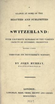
Search results from Open Library.
Recent natural events nearby
Ground air-quality sensors
Recently spotted species
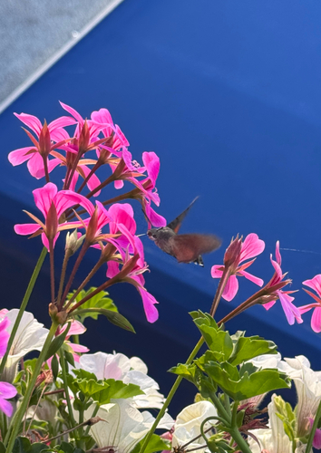
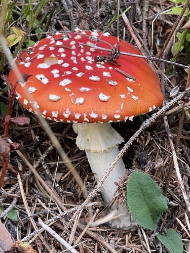
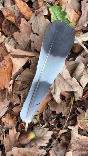
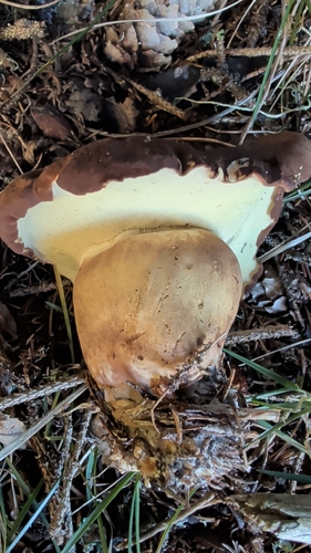
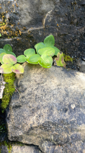
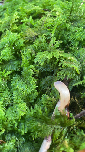
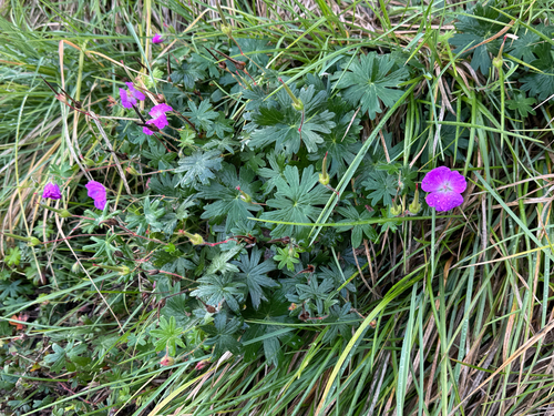
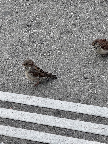
Research-grade observations from iNaturalist (within ~15 mi).
Events
Gallery
Official Identifiers
BFS — Swiss Federal Statistical Office
- BFS-Nr
- 593
- Population (Wikidata)
- 4,547
- Wikidata
- Q67097
Gemeindenummer via Wikidata P771
Sources
- • Wikipedia
- • Wikidata
- • USGS Earthquake Catalog (global feed)
- • GBIF (Global Biodiversity Information Facility)
- • iNaturalist
- • Open-Meteo / sunrise-sunset.org
- • Wikipedia Pageviews API
- • Open Library
- • Wikidata SPARQL (CC0) — population, area, elevation, inception, head of government, Commons image
- • BFS — Swiss Federal Statistical Office — Gemeindenummer via Wikidata P771