Browse / Switzerland / Appenzell Ausserrhoden / Urnäsch
Urnäsch
Appenzell Ausserrhodenvillage

Urnäsch
Total population
2,336
Founded
1417
Demographic figures from Swiss Federal Statistical Office. Overview below cites Wikipedia and may reference a different year.
City facts
Facts from Wikidata (CC0).
Overview
Urnäsch is a municipality in the canton of Appenzell Ausserrhoden, Switzerland.
Read more on WikipediaHistory & geography
History
In 831 AD a part of Urnäsch known as Färchen was first mentioned. In the 10th century, Urnäsch was part of the administrative district Herisau. From the 14th century onwards, Urnäsch was part of the Rhode Hundwil, and thus part of the bailiwick of St. Gallen. The first official mentioning of the municipality's entirety as “Urnäschen” occurred in 1344, when the village was sold to the German Earl Werdenberg, although the municipality already had a strong and independent agenda. It became part of the Schwäbischer Städtebund in the same year as the so-called Lendlyn, which further reaffirmed their independent position. In 1401, Urnäsch joined the Bund together with St. Gallen. At that time, Urnäsch was still a part of the Rhode Hundwil. From 1401 to 1429, Urnäsch was on the forefront of the Appenzell wars. After the battles in Vögelinsegg (1403) and Stoss (1405) the land gained independence as part of Appenzell. Until 1414, Urnäsch’s population had to go to church in the faraway municipality of Herisau. In the same year, a new church was built in Urnäsch, and thereby the municipality obtained its independence in 1417 when the church was inaugurated. In 1480, Hundwil and Urnäsch split. In 1525, Urnäsch joined the Reformation. Since the Landteilung in 1597, Urnäsch has been part of Appenzell Ausserrhoden as one of the six outermost Rhoden and was regularly the meeting place of the Kleiner Rat. Since the second half of the 19th century, the separation of church and state became more common, until the Swiss constitution of 1908 declared them to be fully separated from each other. Interestingly, Urnäsch's constitution only removed the term “Kirchhöri” as its description, which includes both church and government, in the year 2000.
Geography
Urnäsch has an area, , of . Of this area, 53.9% is used for agricultural purposes, while 41.1% is forested. Of the rest of the land, 3.4% is settled (buildings or roads) and the remainder (1.7%) is non-productive (rivers, glaciers or mountains). The elevation of the village is . The lowest elevation is the Murbach which is , while the highest point is the Petersalp which is .
Excerpted from the corresponding Wikipedia article (CC BY-SA).
Geography
Coordinates & boundaries from the US Census TIGER/Line shapefiles.
Climate
Air quality
Walkability
Amenities nearby
Wildlife & biodiversity
Most-observed species
- Indian BalsamImpatiens glandulifera Royle · Magnoliopsida21,289
- Japanese KnotweedReynoutria japonica Houtt. · Magnoliopsida8,438
- Annual FleabaneErigeron annuus (L.) Pers. · Magnoliopsida7,965
- Meadow BrownManiola jurtina (Linnaeus, 1758) · Insecta5,299
- Canadian GoldenrodSolidago canadensis L. · Magnoliopsida4,697
- Early Goldenrod, Tall goldenrod, Giant goldenrodSolidago gigantea Aiton · Magnoliopsida3,889
- RingletAphantopus hyperantus (Linnaeus, 1758) · Insecta2,838
- Common BluePolyommatus icarus (von Rottemburg, 1775) · Insecta2,594
Citizen-science & research observations from the Global Biodiversity Information Facility (GBIF).
Earthquake history
Most recent
- M 3.7 — 2026-04-264 km N of Quarten, Switzerland
- M 4.2 — 2024-06-042 km NNW of Unteriberg, Switzerland
- M 3.8 — 2022-09-012 km WSW of Sevelen, Switzerland
- M 4 — 2020-10-255 km ESE of Ennenda, Switzerland
- M 3.6 — 2020-08-085 km SE of Gramais, Austria
- M 3.8 — 2018-02-014 km N of Innerbraz, Austria
Events from the USGS Earthquake Catalog (global) (FDSN Event Web Service).
Photos
Sights & places nearby
Notable people from here


People born within ~10 km, from Wikidata (CC0). Click any name for their Wikipedia article.
Nearby places in Appenzell Ausserrhoden
- Montanuy / Montanui537.2 mi away · pop. 36
- Sesué541.9 mi away · pop. 105
- Villanova542.4 mi away · pop. 149
- La Puebla de Roda550.5 mi away · pop. 92
- Puente de Montañana551.9 mi away · pop. 60
- Perarrúa559.4 mi away · pop. 63
- Palo561 mi away · pop. 31
- Sallent de Gállego564.3 mi away · pop. 790
- Abizanda566.4 mi away · pop. 89
- Yésero567.3 mi away · pop. 60
- Canfranc-Estación572.5 mi away · pop. 540
- Yebra de Basa574.3 mi away · pop. 116
Geography & sun
Elevation, sunrise/sunset and daylight from Open-Meteo. Solar climatology from NASA POWER.
Nearby airports
Public attention
Pageview totals from the Wikimedia Pageviews API.
Books about this place
Recent natural events nearby
Ground air-quality sensors
Recently spotted species
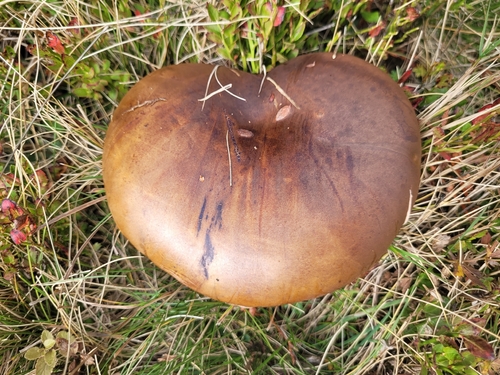
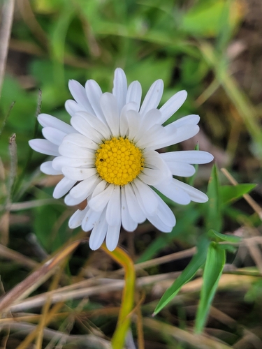
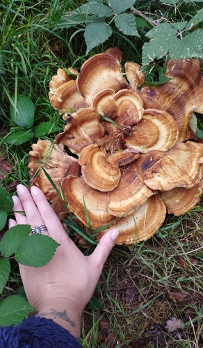
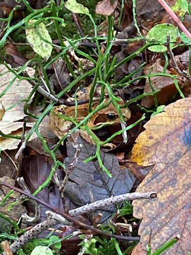
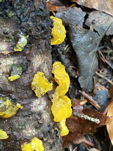
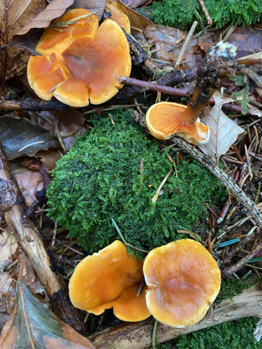
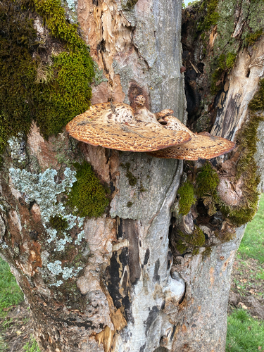
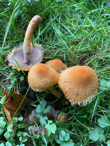
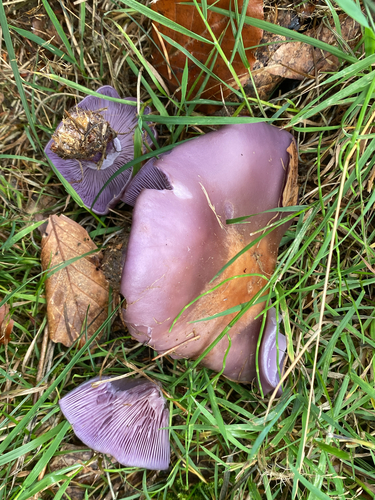
Research-grade observations from iNaturalist (within ~15 mi).
Events
Gallery
Official Identifiers
BFS — Swiss Federal Statistical Office
- BFS-Nr
- 3006
- Population (Wikidata)
- 2,315
- Wikidata
- Q67168
Gemeindenummer via Wikidata P771
Sources
- • Wikipedia
- • Wikidata
- • USGS Earthquake Catalog (global feed)
- • GBIF (Global Biodiversity Information Facility)
- • iNaturalist
- • Open-Elevation
- • Open-Meteo / sunrise-sunset.org
- • Wikipedia Pageviews API
- • Wikidata SPARQL (CC0) — population, area, elevation, inception, head of government, Commons image
- • BFS — Swiss Federal Statistical Office — Gemeindenummer via Wikidata P771