Browse / Switzerland / Aargau / Villigen
Villigen
Aargauvillage

Villigen
Total population
2,091
Demographic figures from Swiss Federal Statistical Office. Overview below cites Wikipedia and may reference a different year.
City facts
Facts from Wikidata (CC0).
Overview
Villigen is a municipality in the district of Brugg in the canton of Aargau in Switzerland. In January 2006, Villigen incorporated the former municipality of Stilli.
Read more on WikipediaHistory & geography
Geography
Villigen has an area, , of . Of this area, or 34.6% is used for agricultural purposes, while or 49.0% is forested. Of the rest of the land, or 13.5% is settled (buildings or roads), or 2.8% is either rivers or lakes. Of the built up area, housing and buildings made up 5.7% and transportation infrastructure made up 2.7%. Power and water infrastructure as well as other special developed areas made up 4.6% of the area. 47.6% of the total land area is heavily forested and 1.4% is covered with orchards or small clusters of trees. Of the agricultural land, 18.1% is used for growing crops and 13.4% is pastures, while 3.1% is used for orchards or vine crops. All the water in the municipality is in rivers and streams.
Excerpted from the corresponding Wikipedia article (CC BY-SA).
Geography
Coordinates & boundaries from the US Census TIGER/Line shapefiles.
Climate
Air quality
Walkability
Amenities nearby
Wildlife & biodiversity
Earthquake history
Photos
Sights & places nearby
Notable people from here
Nearby places in Aargau
- Stilli1.1 mi away · pop. 397
- Rüfenach1.3 mi away · pop. 854
- Hinterrein1.3 mi away
- Vorderrein1.5 mi away
- Würenlingen2 mi away · pop. 4,656
- Riniken2.6 mi away · pop. 1,478
- Schlatt2.7 mi away
- Etzwil2.8 mi away
- Windisch3.2 mi away · pop. 7,636
- Kleindöttingen3.4 mi away
- Oberbözberg3.4 mi away · pop. 505
- Burlen3.5 mi away
Geography & sun
Elevation, sunrise/sunset and daylight from Open-Meteo. Solar climatology from NASA POWER.
Nearby airports
Public attention
Pageview totals from the Wikimedia Pageviews API.
Books about this place
Recent natural events nearby
Ground air-quality sensors
Recently spotted species
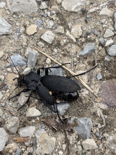
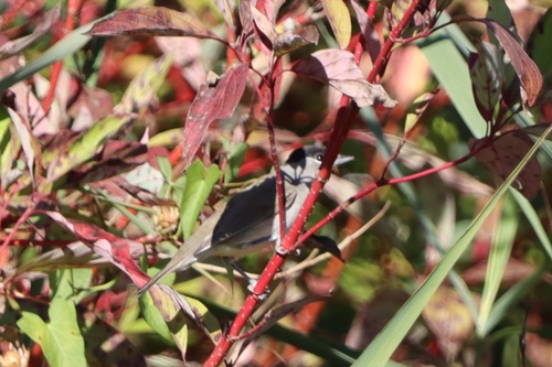
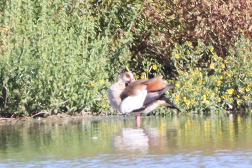
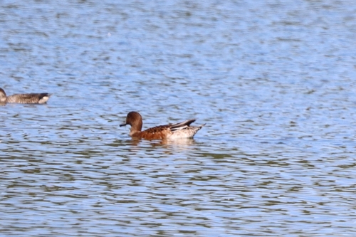
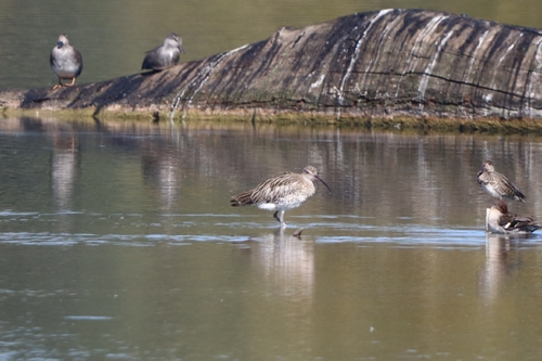
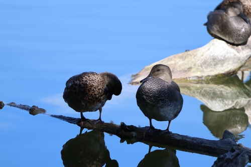
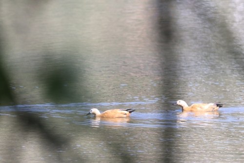
Research-grade observations from iNaturalist (within ~15 mi).
Events
Gallery
Official Identifiers
BFS — Swiss Federal Statistical Office
- BFS-Nr
- 4121
- Population (Wikidata)
- 2,126
- Wikidata
- Q65193
Gemeindenummer via Wikidata P771
Sources
- • Wikipedia
- • Wikidata
- • iNaturalist
- • Open-Elevation
- • Open-Meteo / sunrise-sunset.org
- • Wikipedia Pageviews API
- • Wikidata SPARQL (CC0) — population, area, elevation, inception, head of government, Commons image
- • BFS — Swiss Federal Statistical Office — Gemeindenummer via Wikidata P771