Browse / Switzerland / Aargau / Wettingen
Wettingen
Aargautown

Wettingen
Total population
21,000
Air quality index
Demographic figures from Swiss Federal Statistical Office. Overview below cites Wikipedia and may reference a different year.
City facts
Facts from Wikidata (CC0).
Overview
Wettingen is a residential community in the district of Baden in the Swiss canton of Aargau. With a population of about 20,000, Wettingen is the second-largest municipality in the canton.
Read more on WikipediaHistory & geography
Geography
Wettingen is located on the right bank of the Limmat, located in the Limmat Valley (German: Limmattal), before the deep valley in Baden. Most of the town is located on the Wettingerfeld (Wettinger Field), which is a flat plain surrounded on all sides by natural borders: to the south and west by the Limmat, to the north by the steep southern slope of the Lägern, and to the East by the Sulperg (). A vineyard is located on a section of the Lägern’s slope. Between the Lägern and the Sulperg is the undeveloped Eigital (Eigi valley). At the Eigital’s west end, in the northeastern section of the Wettingerfeld, is the relatively well-maintained old village center. A small creek flows through the Wettingerfeld and empties into the Limmat at the Gottesgraben. The stream is partially directed, partially buried, and partially re-naturalized. Wettingen has an area, , of . Of this area, 21.6% is used for agricultural purposes, while 39.1% is forested. Of the rest of the land, 37.6% is settled (buildings or roads) and the remainder (1.8%) is non-productive (rivers or lakes). The highest elevation is at the Burghorn, a part of the Lägern, and the lowest elevation is at the Limmat. The neighboring communities are Ennetbaden, Ehrendingen, and Niederweningen to the north. The community of Otelfingen is located to the east (via S-6), Würenlos to the southwest, Neuenhof to the south, and Baden to the west.
Excerpted from the corresponding Wikipedia article (CC BY-SA).
Geography
Coordinates & boundaries from the US Census TIGER/Line shapefiles.
Climate
Air quality
Current readings from Open-Meteo Air Quality API (Copernicus CAMS European reanalysis).
Walkability
Amenities nearby
Wildlife & biodiversity
Most-observed species
- Meadow BrownManiola jurtina (Linnaeus, 1758) · Insecta19,149
- Annual FleabaneErigeron annuus (L.) Pers. · Magnoliopsida17,364
- European roe deerCapreolus capreolus (Linnaeus, 1758) · Mammalia15,066
- Common BluePolyommatus icarus (von Rottemburg, 1775) · Insecta14,275
- Carrion CrowCorvus corone Linnaeus, 1758 · Aves8,507
- red foxVulpes vulpes (Linnaeus, 1758) · Mammalia8,248
- bow-winged grasshopperChorthippus biguttulus (Linnaeus, 1758) · Insecta7,594
- Eurasian BlackbirdTurdus merula Linnaeus, 1758 · Aves7,529
Citizen-science & research observations from the Global Biodiversity Information Facility (GBIF).
Earthquake history
Most recent
- M 3.7 — 2026-04-264 km N of Quarten, Switzerland
- M 3.5 — 2024-06-271 km SSW of Todtmoos, Germany
- M 4.2 — 2024-06-042 km NNW of Unteriberg, Switzerland
- M 3.9 — 2022-09-101 km WSW of Zimmersheim, France
- M 3.8 — 2022-09-012 km WSW of Sevelen, Switzerland
- M 4 — 2020-10-255 km ESE of Ennenda, Switzerland
Events from the USGS Earthquake Catalog (global) (FDSN Event Web Service).
Photos
Sights & places nearby
Notable people from here


People born within ~10 km, from Wikidata (CC0). Click any name for their Wikipedia article.
Geography & sun
Nearby airports
Public attention
Books about this place
Recent natural events nearby
Ground air-quality sensors
Recently spotted species
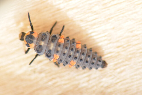
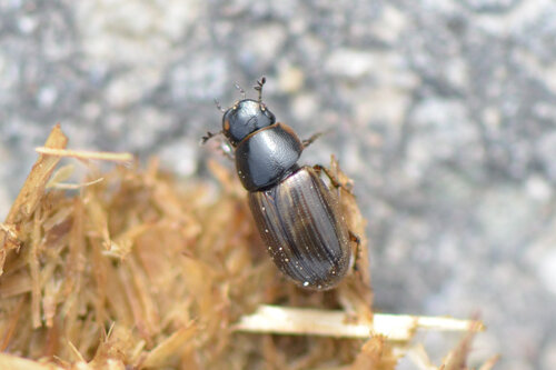
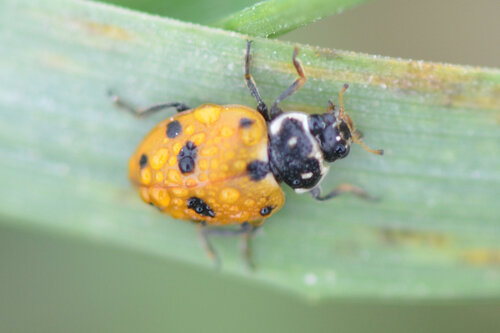
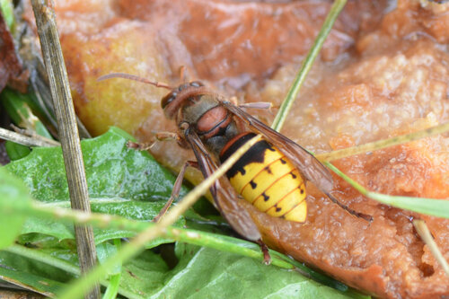
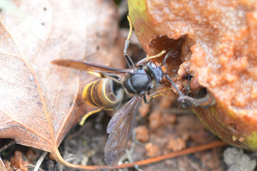
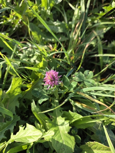
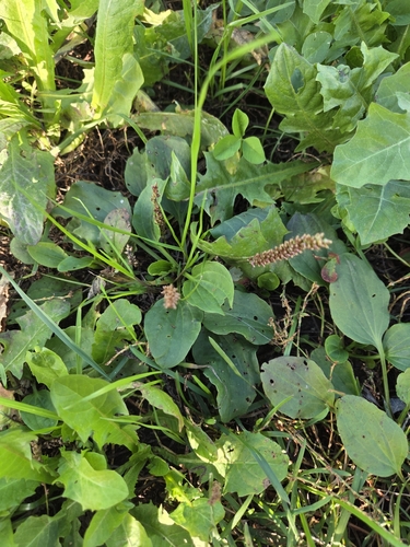
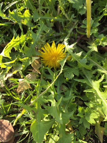
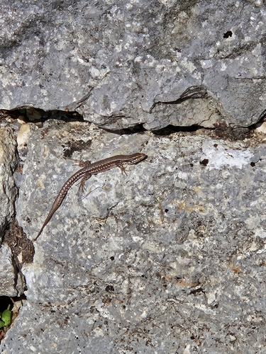
Research-grade observations from iNaturalist (within ~15 mi).
Events
Gallery
Official Identifiers
BFS — Swiss Federal Statistical Office
- BFS-Nr
- 4045
- Population (Wikidata)
- 847
- Wikidata
- Q27576
Gemeindenummer via Wikidata P771
Sources
- • Wikipedia
- • Wikidata
- • Open-Meteo Air Quality (CAMS)
- • USGS Earthquake Catalog (global feed)
- • GBIF (Global Biodiversity Information Facility)
- • iNaturalist
- • Wikidata SPARQL (CC0) — population, area, elevation, inception, head of government, Commons image
- • BFS — Swiss Federal Statistical Office — Gemeindenummer via Wikidata P771