Browse / Switzerland / Bern / Wiedlisbach
Wiedlisbach
Bernvillage
Total population
2,181
Demographic figures from Swiss Federal Statistical Office. Overview below cites Wikipedia and may reference a different year.
City facts
Facts from Wikidata (CC0).
Overview
Wiedlisbach is a municipality in the Oberaargau administrative district in the canton of Bern in Switzerland.
Read more on WikipediaHistory & geography
History
In the mid 13th century Count Ludwig the Elder von Frohburg built the fortified village of Wiedlisbach to collect tolls and host markets along the road to Zofingen. The village was built as rectangle with a large central market plaza astride the east-west running road. A combination tower house and defensive tower, known as the Städtliturm, was built in the north-west corner, and likely served as a residence of the count's local representative. The village wall, up to tall and thick, had two gates, the Biel gate to the west and the Basel gate to the east. The village was first mentioned in 1275 as oppidum or municipium Wietilspach. During the 13th and 14th century a local noble family, the von Wiedlisbach family, appeared in the village, probably in service to which ever noble family owned it. When the Frohberg family died out, Wiedlisbach passed to the Counts of Neuchâtel-Nidau in the late 13th century. Count Rudolph of Neuchâtel-Nidau appears in the record as ruler of nearby Bipp Castle in 1297 and in 1313 was documented as ruling over Wiedlisbach. In 1375 it passed into the estates of the Homberg/Thierstein family and was attacked by a band of Gugler knights. A few years later it was acquired by the Kyburgs. However, after a disastrous Kyburg raid in 1383 led to the Burgdorferkrieg and poverty for the family, Wiedlisbach was sold to Bern and Solothurn in 1406. In 1463 it was acquired wholly by Bern and has remained part of the Canton of Bern since then. During the Swiss peasant war of 1653, Wiedlisbach joined the uprising. The uprising was quickly suppressed and on 5 June 1653 the town fell to the attacking government troops. However, the town walls, gate houses and tower were not destroyed. The victorious Bernese troops plundered the town and took…
Geography
Wiedlisbach has an area of . Of this area, 49.5% is used for agricultural purposes, while 29% is forested. Of the rest of the land, 19.7% is settled (buildings or roads) and the remainder (1.7%) is non-productive (rivers, glaciers or mountains).
Excerpted from the corresponding Wikipedia article (CC BY-SA).
Geography
Coordinates & boundaries from the US Census TIGER/Line shapefiles.
Climate
10-year averages from ERA5 reanalysis (Open-Meteo).
Air quality
Walkability
Amenities nearby
Wildlife & biodiversity
Most-observed species
- European roe deerCapreolus capreolus (Linnaeus, 1758) · Mammalia18,959
- red foxVulpes vulpes (Linnaeus, 1758) · Mammalia11,127
- Meadow BrownManiola jurtina (Linnaeus, 1758) · Insecta7,109
- European badgerMeles meles (Linnaeus, 1758) · Mammalia4,310
- Marbled WhiteMelanargia galathea Linnaeus, 1758 · Insecta3,623
- Eurasian beaverCastor fiber Linnaeus, 1758 · Mammalia2,419
- Yellow-legged hornetVespa velutina Lepeletier, 1836 · Insecta2,397
- wild boarSus scrofa Linnaeus, 1758 · Mammalia2,253
Citizen-science & research observations from the Global Biodiversity Information Facility (GBIF).
Earthquake history
Most recent
- M 4.1 — 2025-07-214 km E of Frutigen, Switzerland
- M 3.5 — 2024-06-271 km SSW of Todtmoos, Germany
- M 4.2 — 2024-06-042 km NNW of Unteriberg, Switzerland
- M 4.4 — 2023-03-221 km NW of Pont-de-Roide, France
- M 3.9 — 2022-09-101 km WSW of Zimmersheim, France
- M 4.1 — 2021-12-242 km WSW of Blamont, France
Events from the USGS Earthquake Catalog (global) (FDSN Event Web Service).
Photos
Sights & places nearby
Notable people from here
People born within ~10 km, from Wikidata (CC0). Click any name for their Wikipedia article.
Nearby places in Bern
- Farnern1.5 mi away · pop. 208
- Walliswil bei Wangen2.3 mi away · pop. 611
- Niederbipp2.4 mi away · pop. 4,717
- Wangenried2.5 mi away · pop. 382
- Berken3.4 mi away · pop. 46
- Röthenbach3.6 mi away · pop. 338
- Inkwil3.7 mi away · pop. 675
- Heimenhausen3.9 mi away · pop. 1,021
- Wanzwil4.2 mi away · pop. 241
- Meiniswil4.6 mi away
- Herzogenbuchsee5.2 mi away · pop. 7,438
- Bützberg5.2 mi away
Geography & sun
Elevation, sunrise/sunset and daylight from Open-Meteo. Solar climatology from NASA POWER.
Nearby airports
Public attention
Pageview totals from the Wikimedia Pageviews API.
Books about this place
Recent natural events nearby
Ground air-quality sensors
Recently spotted species
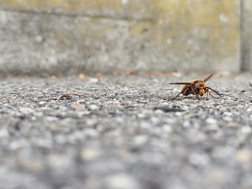
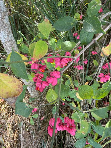
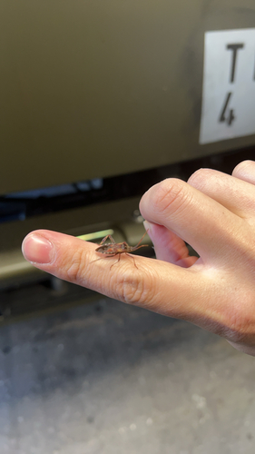
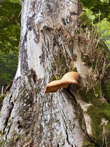
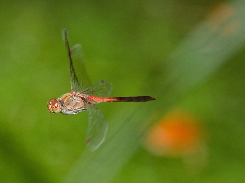
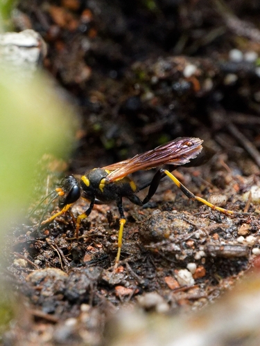
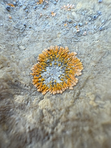
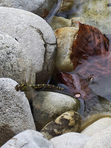
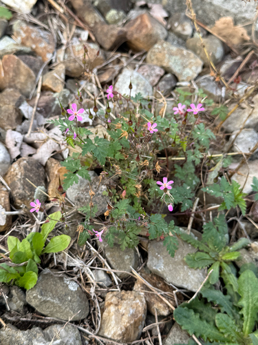
Research-grade observations from iNaturalist (within ~15 mi).
Events
Gallery
Official Identifiers
BFS — Swiss Federal Statistical Office
- BFS-Nr
- 995
- Population (Wikidata)
- 2,377
- Wikidata
- Q67133
Gemeindenummer via Wikidata P771
Sources
- • Wikipedia
- • Open-Meteo (ERA5 reanalysis)
- • Wikidata
- • USGS Earthquake Catalog (global feed)
- • GBIF (Global Biodiversity Information Facility)
- • iNaturalist
- • Open-Elevation
- • Open-Meteo / sunrise-sunset.org
- • Wikipedia Pageviews API
- • Wikidata SPARQL (CC0) — population, area, elevation, inception, head of government, Commons image
- • BFS — Swiss Federal Statistical Office — Gemeindenummer via Wikidata P771