Browse / Switzerland / Zurich / Wiesendangen
Wiesendangen
Zurichvillage

Wiesendangen
Total population
4,951
Demographic figures from Swiss Federal Statistical Office. Overview below cites Wikipedia and may reference a different year.
City facts
Overview
Wiesendangen is a municipality in the district of Winterthur in the canton of Zürich in Switzerland. On 1 January 2014 the former municipality of Bertschikon merged into the municipality of Wiesendangen. At the same time the Community Identification Number changed from 0229 to 0298.
Read more on WikipediaHistory & geography
History
Wiesendangen municipality (as of 2014) includes the former villages, hamlets or municipalities of: Wiesendangen, Attikon, Wallikon, Menzengrüt, Buch, Bertschikon, Gundetswil, Kefikon, Liebensberg, Stegen, Gündlikon and Zünikon. It is located on the site of Roman estates built in the 2nd and 3rd centuries along the road between Oberwinterthur and Pfyn. The area was acquired by St. Gallen Abbey in 804. Wiesendangen is first mentioned in this context, as Wisuntwangas ("wisent pasture"). Bertschikon is first mentioned in 1255 as Bersinkon. The village of Gündlikon may be mentioned in 774 as Cundilinchova though the identification is doubtful; it is mentioned in 1162 as Gundilinchova. A tower house built in the early 12th century was inhabited by ministeriales of the House of Kyburg who called themselves von Wiesendangen or von Frauenfeld, as the acted as reeves in Frauenfeld. The manor was a fief of the bishop of Constance, given to the Hohenlandenberg family in 1472. High justice had already passed to Zürich along with the Kyburg possessions in 1452, low justice eventually passed to Zürich as well, in 1587. The municipality of Wiesendangen was established in 1798 along older parish boundaries. The municipality of Bertschikon was also established in 1798, and merged with Gundetswil, Kefikon (Canton of Zürich portion only), Liebensberg, Stegen, Gündlikon and Zünikon in 1881. In 1928, the former municipalities of Attikon, Wallikon, Menzengrüt and Buch were incorporated into Wiesendangen. A train station was built outside of Attikon in 1855, moved to Attikon in 1907. After 1945, the municipality gradually lost its character of rural villages and developed into part of the urban agglomeration of Winterthur. The A1 motorway, built in the 1970s, passes between…
Geography
Before the merger Wiesendangen has an area of . Of this area, 54.7% is used for agricultural purposes, while 25.4% is forested. Of the rest of the land, 19.8% is settled (buildings or roads) and the remainder (0.1%) is non-productive (rivers, glaciers or mountains). housing and buildings made up 11% of the total area, while transportation infrastructure made up the rest (8.7%). Of the total unproductive area, water (streams and lakes) made up 0.1% of the area. , 13.1% of the total municipal area was undergoing some type of construction. After the merger the total area was .
Excerpted from the corresponding Wikipedia article (CC BY-SA).
Geography
Coordinates & boundaries from the US Census TIGER/Line shapefiles.
Climate
Air quality
Walkability
Amenities nearby
Wildlife & biodiversity
Most-observed species
- European roe deerCapreolus capreolus (Linnaeus, 1758) · Mammalia32,941
- Meadow BrownManiola jurtina (Linnaeus, 1758) · Insecta18,418
- red foxVulpes vulpes (Linnaeus, 1758) · Mammalia13,245
- Annual FleabaneErigeron annuus (L.) Pers. · Magnoliopsida12,537
- Common BluePolyommatus icarus (von Rottemburg, 1775) · Insecta11,160
- Narrow-leaved RagwortSenecio inaequidens DC. · Magnoliopsida7,214
- Marbled WhiteMelanargia galathea Linnaeus, 1758 · Insecta6,618
- Silver-washed FritillaryArgynnis paphia (Linnaeus, 1758) · Insecta6,612
Citizen-science & research observations from the Global Biodiversity Information Facility (GBIF).
Earthquake history
Most recent
- M 3.7 — 2026-04-264 km N of Quarten, Switzerland
- M 3.5 — 2024-06-271 km SSW of Todtmoos, Germany
- M 4.2 — 2024-06-042 km NNW of Unteriberg, Switzerland
- M 3.4 — 2022-10-16Baden-Wurttemberg, Germany
- M 3.8 — 2022-09-012 km WSW of Sevelen, Switzerland
- M 4 — 2022-07-092 km NNE of Grosselfingen, Germany
Events from the USGS Earthquake Catalog (global) (FDSN Event Web Service).
Photos
Sights & places nearby
Notable people from here


People born within ~10 km, from Wikidata (CC0). Click any name for their Wikipedia article.
Nearby places in Zurich
Geography & sun
Elevation, sunrise/sunset and daylight from Open-Meteo. Solar climatology from NASA POWER.
Nearby airports
Public attention
Pageview totals from the Wikimedia Pageviews API.
Books about this place
Recent natural events nearby
Ground air-quality sensors
Recently spotted species
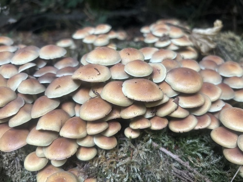
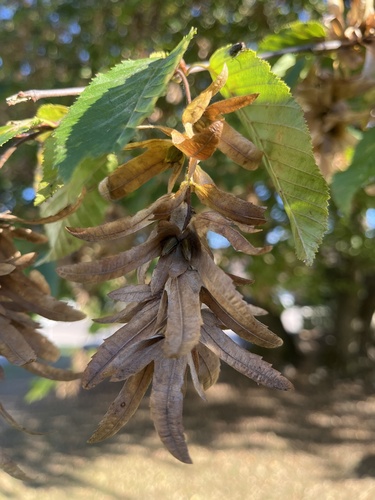
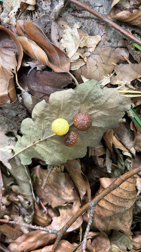
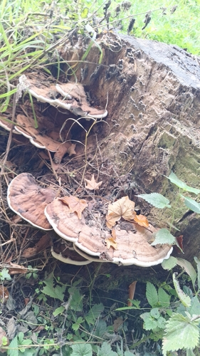
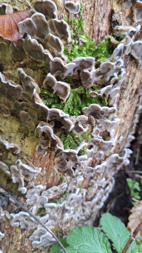
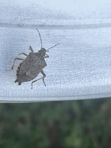
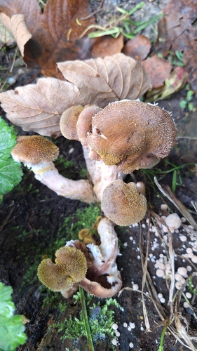
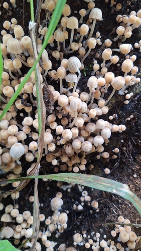
Research-grade observations from iNaturalist (within ~15 mi).
Events
Gallery
Official Identifiers
BFS — Swiss Federal Statistical Office
- BFS-Nr
- 298
- Population (Wikidata)
- 6,521
- Wikidata
- Q64853
Gemeindenummer via Wikidata P771
Sources
- • Wikipedia
- • Wikidata
- • USGS Earthquake Catalog (global feed)
- • GBIF (Global Biodiversity Information Facility)
- • iNaturalist
- • Open-Meteo / sunrise-sunset.org
- • Wikipedia Pageviews API
- • Wikidata SPARQL (CC0) — population, area, elevation, inception, head of government, Commons image
- • BFS — Swiss Federal Statistical Office — Gemeindenummer via Wikidata P771