Browse / Switzerland / Thurgau / Wigoltingen
Wigoltingen
Thurgauvillage

Wigoltingen
Total population
2,036
Air quality index
Demographic figures from Swiss Federal Statistical Office. Overview below cites Wikipedia and may reference a different year.
City facts
Facts from Wikidata (CC0).
Overview
Wigoltingen is a municipality in the district of Weinfelden in the canton of Thurgau in Switzerland.
Read more on WikipediaHistory & geography
Geography
Wigoltingen has an area, , of . Of this area, or 75.4% is used for agricultural purposes, while or 12.5% is forested. Of the rest of the land, or 11.1% is settled (buildings or roads), or 1.2% is either rivers or lakes and or 0.1% is unproductive land. Of the built up area, industrial buildings made up 4.0% of the total area while housing and buildings made up 0.4% and transportation infrastructure made up 0.5%. while parks, green belts and sports fields made up 6.2%. Out of the forested land, 11.0% of the total land area is heavily forested and 1.5% is covered with orchards or small clusters of trees. Of the agricultural land, 71.7% is used for growing crops, while 3.7% is used for orchards or vine crops. Of the water in the municipality, 0.3% is in lakes and 0.9% is in rivers and streams.
Excerpted from the corresponding Wikipedia article (CC BY-SA).
Geography
Coordinates & boundaries from the US Census TIGER/Line shapefiles.
Climate
Air quality
Current readings from Open-Meteo Air Quality API (Copernicus CAMS European reanalysis).
Walkability
Amenities nearby
Wildlife & biodiversity
Most-observed species
- European roe deerCapreolus capreolus (Linnaeus, 1758) · Mammalia8,206
- Common BluePolyommatus icarus (von Rottemburg, 1775) · Insecta5,333
- Meadow BrownManiola jurtina (Linnaeus, 1758) · Insecta4,504
- Annual FleabaneErigeron annuus (L.) Pers. · Magnoliopsida4,413
- Marbled WhiteMelanargia galathea Linnaeus, 1758 · Insecta3,748
- Indian BalsamImpatiens glandulifera Royle · Magnoliopsida3,490
- Carrion CrowCorvus corone Linnaeus, 1758 · Aves3,370
- red foxVulpes vulpes (Linnaeus, 1758) · Mammalia3,353
Citizen-science & research observations from the Global Biodiversity Information Facility (GBIF).
Earthquake history
Most recent
- M 3.7 — 2026-04-264 km N of Quarten, Switzerland
- M 3.5 — 2024-06-271 km SSW of Todtmoos, Germany
- M 4.2 — 2024-06-042 km NNW of Unteriberg, Switzerland
- M 3.4 — 2022-10-16Baden-Wurttemberg, Germany
- M 3.8 — 2022-09-012 km WSW of Sevelen, Switzerland
- M 4 — 2022-07-092 km NNE of Grosselfingen, Germany
Events from the USGS Earthquake Catalog (global) (FDSN Event Web Service).
Photos
Sights & places nearby
Notable people from here


People born within ~10 km, from Wikidata (CC0). Click any name for their Wikipedia article.
Nearby places in Thurgau
Geography & sun
Elevation, sunrise/sunset and daylight from Open-Meteo. Solar climatology from NASA POWER.
Nearby airports
Public attention
Pageview totals from the Wikimedia Pageviews API.
Books about this place
Recent natural events nearby
Ground air-quality sensors
Recently spotted species
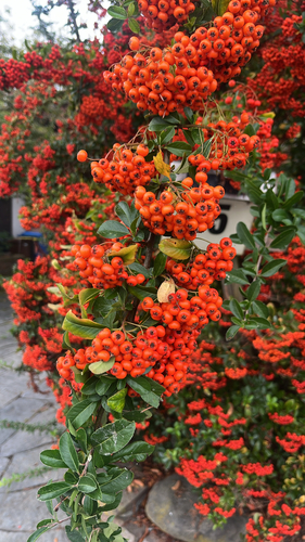
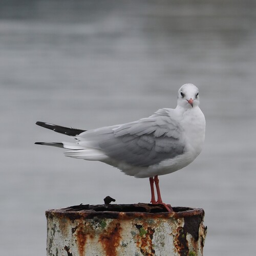
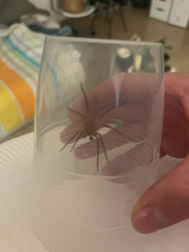
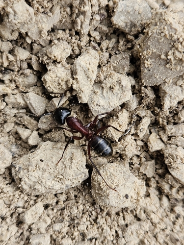
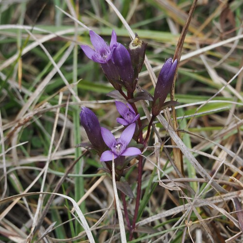
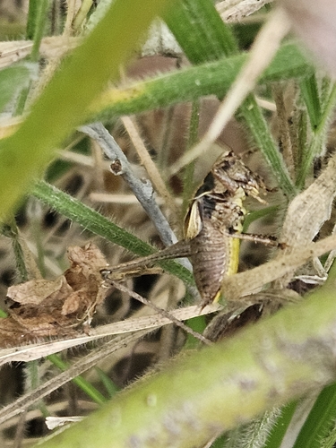
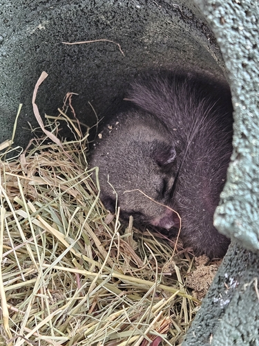
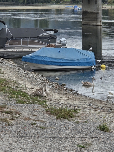
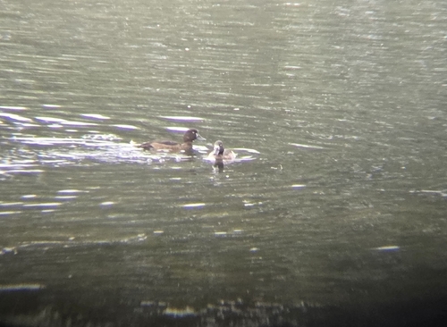
Research-grade observations from iNaturalist (within ~15 mi).
Events
Gallery
Official Identifiers
BFS — Swiss Federal Statistical Office
- BFS-Nr
- 4951
- Population (Wikidata)
- 2,457
- Wikidata
- Q65834
Gemeindenummer via Wikidata P771
Sources
- • Wikipedia
- • Wikidata
- • Open-Meteo Air Quality (CAMS)
- • USGS Earthquake Catalog (global feed)
- • GBIF (Global Biodiversity Information Facility)
- • iNaturalist
- • Open-Meteo / sunrise-sunset.org
- • Wikipedia Pageviews API
- • Wikidata SPARQL (CC0) — population, area, elevation, inception, head of government, Commons image
- • BFS — Swiss Federal Statistical Office — Gemeindenummer via Wikidata P771