Browse / Switzerland / Graubünden / Zernez
Zernez
Graubündenvillage

Zernez
Total population
1,579
Demographic figures from Swiss Federal Statistical Office. Overview below cites Wikipedia and may reference a different year.
City facts
Facts from Wikidata (CC0).
Overview
Zernez is a village and a municipality in the Engiadina Bassa/Val Müstair Region in the Swiss canton of the Grisons. On 1 January 2015 the former municipalities of Lavin and Susch merged into the municipality of Zernez.
Read more on WikipediaHistory & geography
History
Zernez is first mentioned in 1131 as Gumpo de Ernece. In 1161-64 it was mentioned as Zarnetz though both references are found in a copy of the document from 1365.
Geography
After the 2015 merger Zernez had an area of . Before the merger Zernez had an area, (as of the 2004/09 survey) of . Of this area, about 7.8% is used for agricultural purposes, while 35.6% is forested. Of the rest of the land, 0.7% is settled (buildings or roads) and 55.9% is unproductive land. Over the past two decades (1979/85-2004/09) the amount of land that is settled has increased by and the agricultural land has decreased by . Until 2017 the municipality was located in the Sur Tasna sub-district of the Inn district, after 2017 it was part of the Engiadina Bassa/Val Müstair Region. It is located along the Ofen Pass road into the Engadine. It consists of the village of Zernez and the section of Brail. Lai da Ova Spin is a compensation reservoir on the river Spöl. It is located in the upper areas of the Lower Engadine valley (Romansh: Engiadina Bassa). It is located at an elevation of and is connected to the railway network of the Rhätische Bahn. In Zernez, the stream Spöl empties into the Inn (Romansh: En). Zernez has an average of 102.7 days of rain per year and on average receives of precipitation. The wettest month is August during which time Zernez receives an average of of precipitation. During this month there is precipitation for an average of 11.4 days. The driest month of the year is February with an average of of precipitation over 11.4 days.
Excerpted from the corresponding Wikipedia article (CC BY-SA).
Geography
Coordinates & boundaries from the US Census TIGER/Line shapefiles.
Climate
Air quality
Walkability
Amenities nearby
Wildlife & biodiversity
Earthquake history
Photos
Sights & places nearby
Notable people from here


People born within ~10 km, from Wikidata (CC0). Click any name for their Wikipedia article.
Geography & sun
Elevation, sunrise/sunset and daylight from Open-Meteo. Solar climatology from NASA POWER.
Nearby airports
Public attention
Pageview totals from the Wikimedia Pageviews API.
Books about Zernez
Search results from Open Library.
Recent natural events nearby
Ground air-quality sensors
Recently spotted species
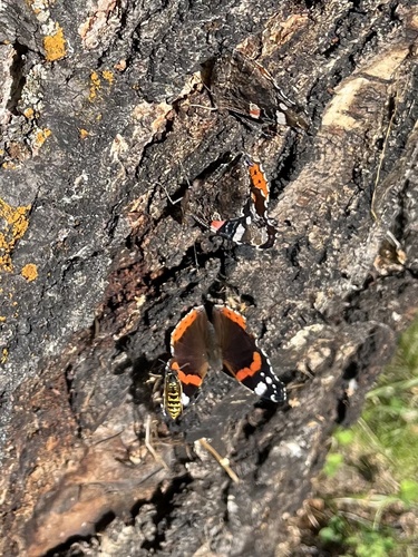
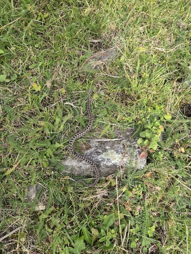
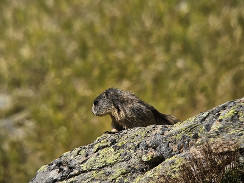
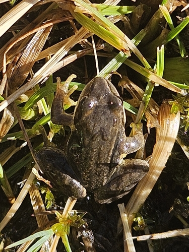
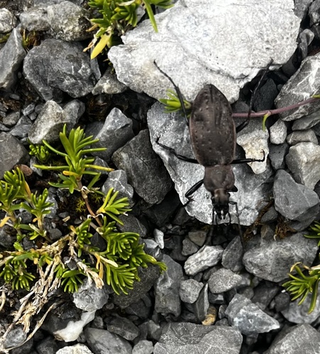
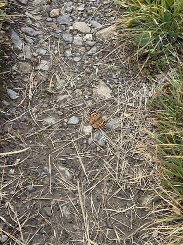
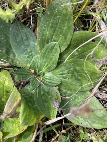
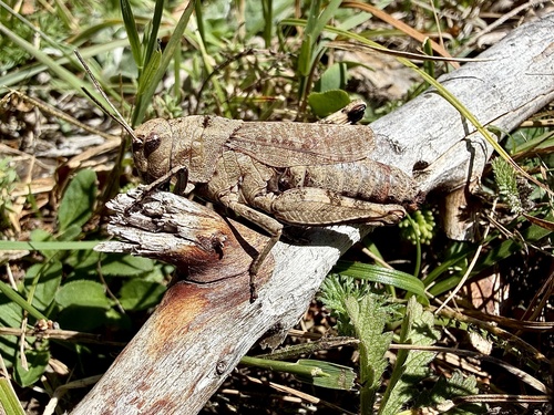
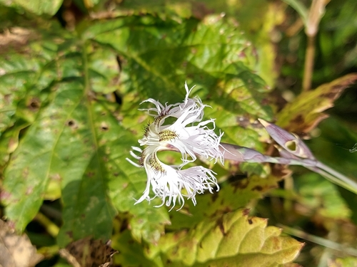
Research-grade observations from iNaturalist (within ~15 mi).
Events
Gallery
Official Identifiers
BFS — Swiss Federal Statistical Office
- BFS-Nr
- 3746
- Population (Wikidata)
- 1,527
- Wikidata
- Q64609
Gemeindenummer via Wikidata P771
Sources
- • Wikipedia
- • Wikidata
- • iNaturalist
- • Open-Meteo / sunrise-sunset.org
- • Wikipedia Pageviews API
- • Open Library
- • Wikidata SPARQL (CC0) — population, area, elevation, inception, head of government, Commons image
- • BFS — Swiss Federal Statistical Office — Gemeindenummer via Wikidata P771