Browse / Switzerland / Aargau / Zofingen
Zofingen
Aargautown

Zofingen
Total population
11,543
Founded
1201
Demographic figures from Swiss Federal Statistical Office. Overview below cites Wikipedia and may reference a different year.
City facts
Sister cities
Facts from Wikidata (CC0).
Overview
Zofingen is a municipality and a town in the canton of Aargau in Switzerland. It is the capital of the district of Zofingen. Zofingen is a walled town and home to a medieval monastic settlement.
Read more on WikipediaHistory & geography
History
In ancient times Zofingen was a settlement of the Celtic Helvetii. In later times the Romans built a manor. The Alemanni settled in the 6th century and formed one of the oldest parishes in Aargau. In the 11th century the House of Frohburg founded a canons monastery. The town was founded in 1201 by the counts of Frohburg. 1231 was the first written mention of Zofingen, which in 1299 came into the possession of the Habsburgs. In 1415 the Bernese conquered the city and in 1528 they introduced the Reformation. Since 1803 Zofingen has belonged to the canton of Aargau and has become a regional center. The neighboring Mühlethal was incorporated in 2002.
Geography
Zofingen has an area, , of . Of this area, or 18.8% is used for agricultural purposes, while or 47.3% is forested. Of the rest of the land, or 33.1% is settled (buildings or roads), or 0.6% is either rivers or lakes. Of the built up area, industrial buildings made up 4.6% of the total area while housing and buildings made up 17.7% and transportation infrastructure made up 7.0%. while parks, green belts and sports fields made up 3.1%. Out of the forested land, 46.0% of the total land area is heavily forested and 1.4% is covered with orchards or small clusters of trees. Of the agricultural land, 4.3% is used for growing crops and 12.2% is pastures, while 2.3% is used for orchards or vine crops. All the water in the municipality is flowing water.
Excerpted from the corresponding Wikipedia article (CC BY-SA).
Geography
Coordinates & boundaries from the US Census TIGER/Line shapefiles.
Climate
Air quality
Walkability
Amenities nearby
Wildlife & biodiversity
Most-observed species
- Meadow BrownManiola jurtina (Linnaeus, 1758) · Insecta10,225
- European roe deerCapreolus capreolus (Linnaeus, 1758) · Mammalia10,054
- Common BluePolyommatus icarus (von Rottemburg, 1775) · Insecta6,246
- red foxVulpes vulpes (Linnaeus, 1758) · Mammalia5,062
- Small HeathCoenonympha pamphilus (Linnaeus, 1758) · Insecta4,134
- Marbled WhiteMelanargia galathea Linnaeus, 1758 · Insecta4,052
- Annual FleabaneErigeron annuus (L.) Pers. · Magnoliopsida3,699
- Indian BalsamImpatiens glandulifera Royle · Magnoliopsida3,302
Citizen-science & research observations from the Global Biodiversity Information Facility (GBIF).
Earthquake history
Most recent
- M 3.7 — 2026-04-264 km N of Quarten, Switzerland
- M 4.1 — 2025-07-214 km E of Frutigen, Switzerland
- M 3.5 — 2024-06-271 km SSW of Todtmoos, Germany
- M 4.2 — 2024-06-042 km NNW of Unteriberg, Switzerland
- M 4.4 — 2023-03-221 km NW of Pont-de-Roide, France
- M 3.9 — 2022-09-101 km WSW of Zimmersheim, France
Events from the USGS Earthquake Catalog (global) (FDSN Event Web Service).
Photos
Sights & places nearby
Notable people from here


People born within ~10 km, from Wikidata (CC0). Click any name for their Wikipedia article.
Nearby places in Aargau
- Brittnau2.1 mi away · pop. 3,906
- Wiliberg3.5 mi away · pop. 164
- Uerkheim3.9 mi away · pop. 1,355
- Kölliken4.9 mi away · pop. 4,324
- Holziken4.9 mi away · pop. 1,184
- Reitnau5.3 mi away · pop. 1,267
- Hirschthal5.5 mi away · pop. 1,573
- Murgenthal5.6 mi away · pop. 2,911
- Kirchleerau5.9 mi away · pop. 849
- Schlossrued6.7 mi away · pop. 903
- Unterentfelden7.1 mi away · pop. 4,011
- Schmiedrued7.5 mi away · pop. 1,219
Geography & sun
Elevation, sunrise/sunset and daylight from Open-Meteo. Solar climatology from NASA POWER.
Nearby airports
Public attention
Pageview totals from the Wikimedia Pageviews API.
Books about Zofingen

Search results from Open Library.
Recent natural events nearby
Ground air-quality sensors
Recently spotted species
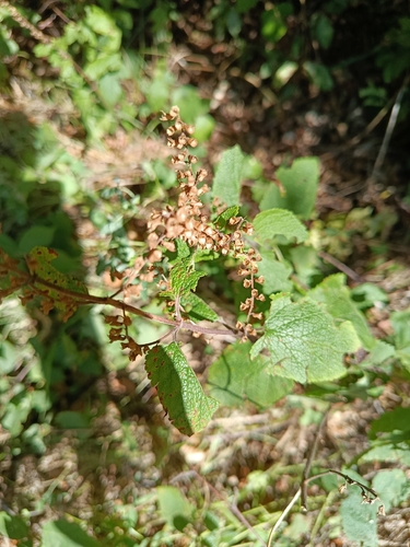
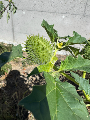
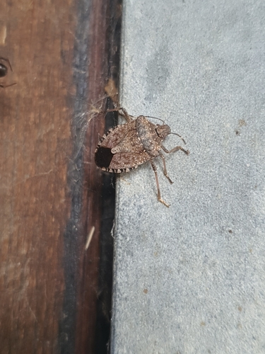
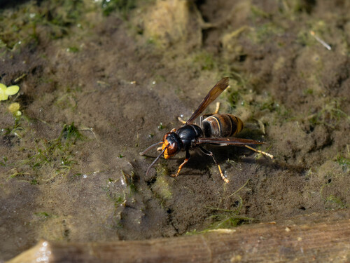
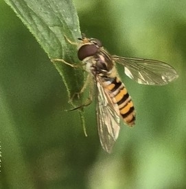
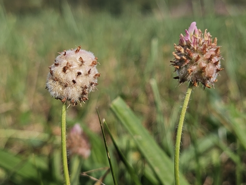
Research-grade observations from iNaturalist (within ~15 mi).
Events
Gallery
Official Identifiers
BFS — Swiss Federal Statistical Office
- BFS-Nr
- 4289
- Population (Wikidata)
- 11,561
- Wikidata
- Q63986
Gemeindenummer via Wikidata P771
Sources
- • Wikipedia
- • Wikidata
- • USGS Earthquake Catalog (global feed)
- • GBIF (Global Biodiversity Information Facility)
- • iNaturalist
- • Open-Elevation
- • Open-Meteo / sunrise-sunset.org
- • Wikipedia Pageviews API
- • Open Library
- • Wikidata SPARQL (CC0) — population, area, elevation, inception, head of government, Commons image
- • BFS — Swiss Federal Statistical Office — Gemeindenummer via Wikidata P771