Browse / Côte d'Ivoire / Côte d'Ivoire / Kanta
Kanta
Côte d'Ivoirevillage
Demographic figures from Institut National de la Statistique (Côte d'Ivoire). Overview below cites Wikipedia and may reference a different year.
City facts
Overview
Kanta is a village located in Côte d'Ivoire. Kanta maps to 7.364°, -8.374° — squarely within the equatorial belt. Detailed population figures are not currently catalogued in the open data sources we track. The location receives about 1,737 kWh/m² of solar irradiance per year and sunshine for roughly 68% of daylight hours. The latitude suggests hot and humid year-round with little seasonal temperature variation. The sections below expand on demographics, weather, terrain, hazards and nearby points of interest using publicly available datasets.
Summary composed automatically from structured open data on this page. See our Terms for details.
History & geography
Geography
Coordinates & boundaries from the US Census TIGER/Line shapefiles.
Climate
Air quality
Walkability
Amenities nearby
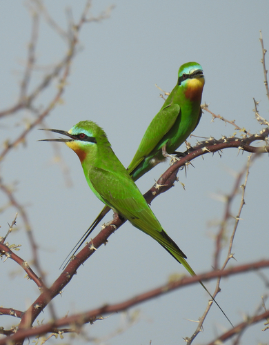
Wildlife & biodiversity
Most-observed species
- Little GreenbulEurillas virens (Cassin, 1857) · Aves43
- Yellow-rumped TinkerbirdPogoniulus bilineatus (Sundevall, 1850) · Aves37
- Common BulbulPycnonotus barbatus (Desfontaines, 1789) · Aves32
- Fire-crested AletheAlethe diademata (Bonaparte, 1850) · Aves32
- Green-backed CamaropteraCamaroptera brachyura (Vieillot, 1821) · Aves32
- Olive SunbirdCyanomitra olivacea (A.Smith, 1840) · Aves32
- Speckled TinkerbirdPogoniulus scolopaceus (Bonaparte, 1850) · Aves31
- Tambourine DoveTurtur tympanistria (Temminck, 1809) · Aves29
Citizen-science & research observations from the Global Biodiversity Information Facility (GBIF).
Earthquake history
Events from the USGS Earthquake Catalog (global) (FDSN Event Web Service).
Photos
Sights & places nearby
Notable people from here
Nearby places in Côte d'Ivoire
Geography & sun
Elevation, sunrise/sunset and daylight from Open-Meteo. Solar climatology from NASA POWER.
Nearby airports
Public attention
Books about this place
Recent natural events nearby
Ground air-quality sensors
Recently spotted species
Research-grade observations from iNaturalist (within ~15 mi).
Events
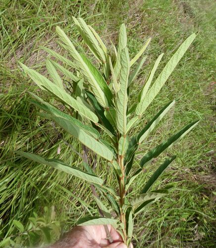
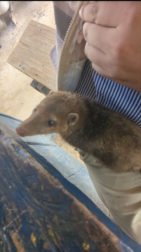
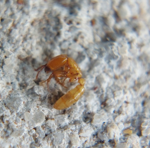
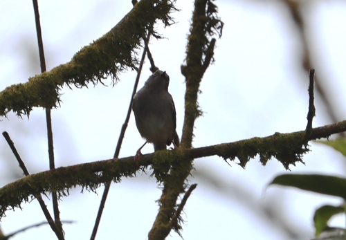
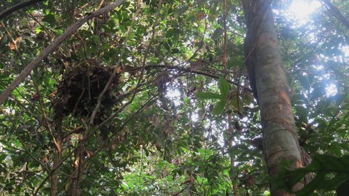
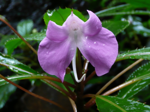
Gallery
Geotagged photos within ~6 miles of Kanta, from Wikimedia Commons contributors.


Photos via Wikimedia Commons — see each image page for license & attribution.
Sources
- • Wikimedia Commons
- • Wikidata
- • USGS Earthquake Catalog (global feed)
- • GBIF (Global Biodiversity Information Facility)
- • iNaturalist
- • Open-Meteo / sunrise-sunset.org