Browse / Côte d'Ivoire / Côte d'Ivoire / Oupagui
Oupagui
Côte d'Ivoirevillage
Air quality index
Demographic figures from Institut National de la Statistique (Côte d'Ivoire). Overview below cites Wikipedia and may reference a different year.
City facts
Overview
Oupagui is a village located in Côte d'Ivoire. Detailed population figures are not currently catalogued in the open data sources we track. Its coordinates of 5.593°, -6.592° place it in the equatorial zone of the northern hemisphere. Climate records indicate average highs near 87.6°F and lows near 72.7°F and about 70.2 in of annual precipitation (a very wet total). Its latitude implies a climate characterised by hot and humid year-round with little seasonal temperature variation. Open solar datasets indicate about 1,656 kWh/m² of solar irradiance per year, combined with sunshine for roughly 65% of daylight hours. Read on for charts and tables covering demographics, climate, hazards, schools, wildlife and other open-data indicators for Oupagui.
Summary composed automatically from structured open data on this page. See our Terms for details.
History & geography
Geography
Coordinates & boundaries from the US Census TIGER/Line shapefiles.
Climate
10-year averages from ERA5 reanalysis (Open-Meteo).
Air quality
Current readings from Open-Meteo Air Quality API (Copernicus CAMS European reanalysis).
Walkability
Amenities nearby
Wildlife & biodiversity
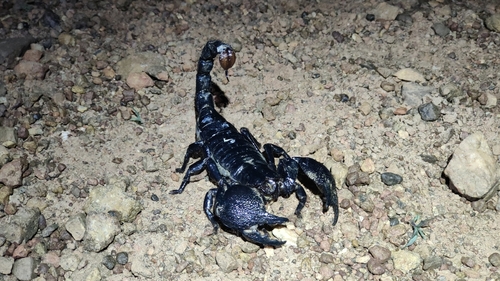
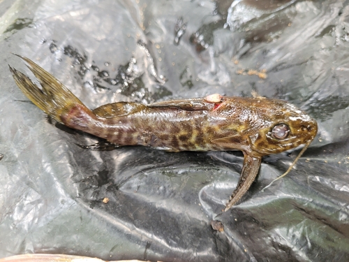
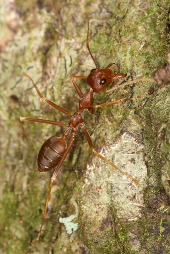
Most-observed species
- African Weaver AntOecophylla longinoda (Latreille, 1802) · Insecta1
- Synodontis koensis Pellegrin, 1933Synodontis koensis Pellegrin, 1933 · Animalia1
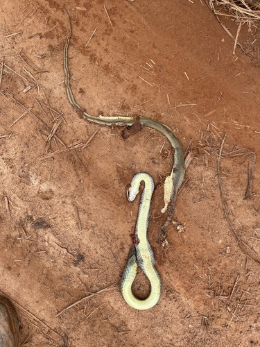
- Olive Grass RacerPsammophis phillipsii (Hallowell, 1844) · Squamata1
Citizen-science & research observations from the Global Biodiversity Information Facility (GBIF).
Earthquake history
Events from the USGS Earthquake Catalog (global) (FDSN Event Web Service).
Photos
Sights & places nearby
Notable people from here
Nearby places in Côte d'Ivoire
Geography & sun
Elevation, sunrise/sunset and daylight from Open-Meteo. Solar climatology from NASA POWER.
Nearby airports
Public attention
Books about this place
Recent natural events nearby
Ground air-quality sensors
Recently spotted species
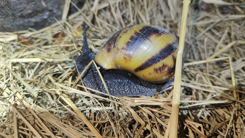
Research-grade observations from iNaturalist (within ~15 mi).
Events
Gallery
Sources
- • Open-Meteo (ERA5 reanalysis)
- • Wikidata
- • Open-Meteo Air Quality (CAMS)
- • USGS Earthquake Catalog (global feed)
- • GBIF (Global Biodiversity Information Facility)
- • iNaturalist
- • Open-Meteo / sunrise-sunset.org