Browse / Chile / Santiago Metropolitan / Santiago
Santiago
Santiago Metropolitancity

Santiago
Total population
6,139,087
Founded
1541
Demographic figures from INE Chile. Overview below cites Wikipedia and may reference a different year.
City facts
Sister cities
Facts from Wikidata (CC0).
Overview
Santiago, also known as Santiago de Chile, is the capital and largest city of Chile and one of the largest cities in the Americas. Located in the Chilean Central Valley within the Santiago Basin, between the Andes to the east and the Chilean Coastal Range to the west, it anchors the Santiago Metropolitan Region and its conurbation of Greater Santiago, which comprises more than forty communes and concentrates over a third of the national population and around 45% of Chile's GDP. Most of the city lies between 500 and 650 meters above sea level, with recent urban growth extending into the Andean foothills.
Read more on WikipediaHistory & geography
History
Archaeological evidence suggests that the first human groups arrived in the Santiago basin around the 10th millennium BC. These groups were primarily nomadic hunter-gatherers, traveling from the coast to the interior to hunt guanacos during the Andean snowmelt. Pedro de Valdivia, a conquistador from Extremadura sent by Francisco Pizarro from Peru, arrived in the Mapocho valley on 13 December 1540, after a long journey from Cusco. Valdivia and his party camped by the river on the slopes of the Tupahue hill and gradually began interacting with the Picunche people who lived in the area. Valdivia later called a meeting with the local chiefs, during which he explained his plan to establish a city on behalf of Charles I of Spain. The city would serve as the capital of his governorship of Nueva Extremadura. On 12 February 1541, Valdivia officially founded the city of ('Santiago of New Extremadura') in honor of the Apostle James, the patron saint of Spain. The city was established near Huelén, which Valdivia renamed Santa Lucía. He assigned the city's layout to master builder Pedro de Gamboa, who designed a grid plan. At its center, Gamboa placed a Plaza Mayor, which became the town's central hub. Surrounding the plaza, plots were designated for the cathedral, the jail, and the governor's house. The city was divided into eight blocks from north to south and ten blocks from east to west, between the Mapocho River and the with each quarter-block, or , granted to settlers. Valdivia left for the south with his troops months later, initiating the Arauco War. Santiago was left vulnerable, and a coalition of Mapuche and Picunche tribes led by chief Michimalonco destroyed the city on 11 September 1541, despite the efforts of a Spanish garrison of 55 soldiers defending the fort.…
Geography
The city lies in the center of the Santiago Basin, a large bowl-shaped valley consisting of broad and fertile lands surrounded by mountains. The city has a varying elevation, gradually increasing from in the western areas to more than in the eastern areas. Santiago's international airport, in the west, lies at an altitude of . The historic center, Plaza de Armas, lies at . Estadio San Carlos de Apoquindo, at the eastern edge of the city, has an elevation of . The Santiago Basin is part of the Intermediate Depression and is remarkably flat, interrupted only by a few "island hills"; among them are Cerro Renca, Cerro Blanco, and Cerro Santa Lucía. The basin is approximately in a north–south direction and from east to west. The Mapocho River flows through the city. The city is flanked by the main chain of the Andes to the east and the Chilean Coastal Range to the west. On the north, it is bordered by the Cordón de Chacabuco, a mountain range of the Andes. At the southern border lies the Angostura de Paine, an elongated spur of the Andes that almost reaches the coast. The mountain range immediately bordering the city on the east is known as the Sierra de Ramón, which was formed due to tectonic activity of the San Ramón Fault. This range reaches 3296 meters at Cerro de Ramón. The Sierra de Ramón represents the "Precordillera" of the Andes. further east is the even larger Cordillera of the Andes, which has mountains and volcanoes that exceed and on which some glaciers are present. The tallest is the Tupungato mountain at . Other mountains include Tupungatito, San José, and Maipo. Cerro El Plomo is the highest mountain visible from Santiago's urban area. During recent decades, urban growth has outgrown the boundaries of the city, expanding to the east up the slopes…
Excerpted from the corresponding Wikipedia article (CC BY-SA).
Geography
Coordinates & boundaries from the US Census TIGER/Line shapefiles.
Climate
Air quality
Walkability
Amenities nearby
Wildlife & biodiversity
Most-observed species
- Austral ThrushTurdus falcklandii Quoy & Gaimard, 1824 · Aves35,948
- Eared DoveZenaida auriculata (Des Murs, 1847) · Aves33,796
- Rock PigeonColumba livia J.F.Gmelin, 1789 · Aves27,173
- Rufous-collared SparrowZonotrichia capensis (P.L.S.Müller, 1776) · Aves25,526
- Monk ParakeetMyiopsitta monachus (Boddaert, 1783) · Aves22,661
- Southern House-WrenTroglodytes musculus J.F.Naumann, 1823 · Aves21,556
- House SparrowPasser domesticus (Linnaeus, 1758) · Aves15,204
- Austral BlackbirdCuraeus curaeus (Molina, 1782) · Aves12,259
Citizen-science & research observations from the Global Biodiversity Information Facility (GBIF).
Earthquake history
Most recent
- M 3.1 — 2026-04-244 km W of Peñaflor, Chile
- M 4.2 — 2026-04-1938 km E of Villa Presidente Frei, Chile
- M 4.4 — 2026-02-0216 km NE of Los Andes, Chile
- M 4.1 — 2025-12-2946 km E of Villa Presidente Frei, Chile
- M 4.2 — 2025-12-1632 km ESE of Los Andes, Chile
- M 4.5 — 2025-10-2626 km ESE of Paine, Chile
Events from the USGS Earthquake Catalog (global) (FDSN Event Web Service).
Photos
Sights & places nearby
Notable people from here


People born within ~10 km, from Wikidata (CC0). Click any name for their Wikipedia article.
Nearby places in Santiago Metropolitan
- Chamisero8 mi away · pop. 7,747
- Las Canteras9.4 mi away · pop. 2,770
- Lomas de Lo Aguirre9.9 mi away · pop. 1,955
- Chicureo10.6 mi away · pop. 10,975
- Chicauma10.7 mi away · pop. 1,764
- El Maitén11.4 mi away · pop. 2,153
- Ciudad de los Valles11.4 mi away · pop. 11,512
- Estación Colina12.4 mi away · pop. 4,209
- Lo Castro12.7 mi away · pop. 1,445
- El Cambucho12.7 mi away · pop. 1,467
- Noviciado Alto13.2 mi away · pop. 1,245
- Lo Arcaya13.6 mi away · pop. 1,279
Geography & sun
Elevation, sunrise/sunset and daylight from Open-Meteo. Solar climatology from NASA POWER.
Nearby airports
Public attention
Pageview totals from the Wikimedia Pageviews API.
Books about Santiago
Search results from Open Library.
Recent natural events nearby
Ground air-quality sensors
Recently spotted species
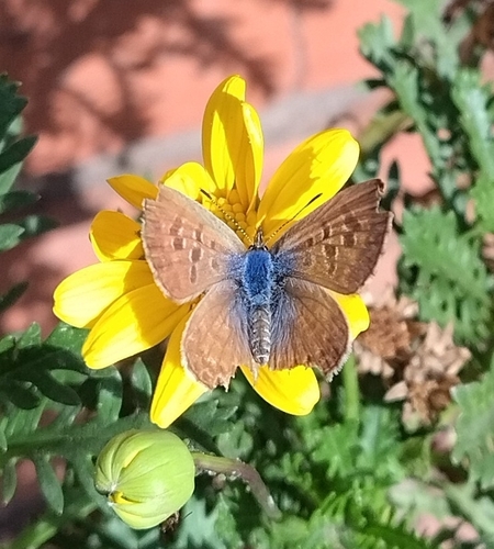
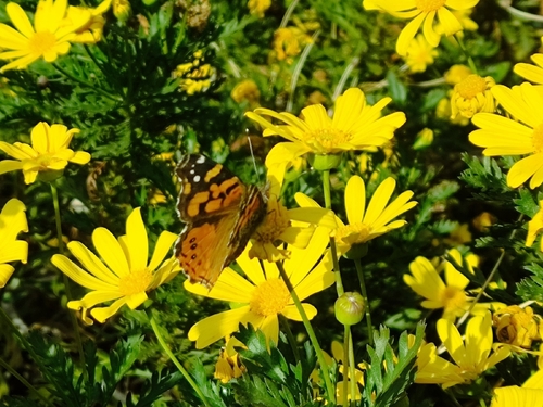
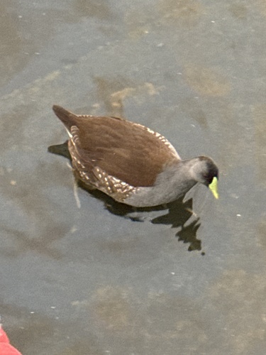
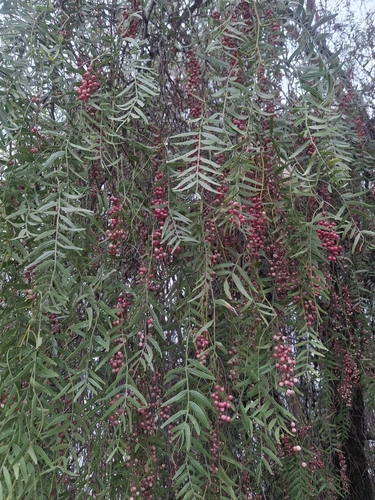
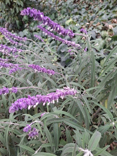
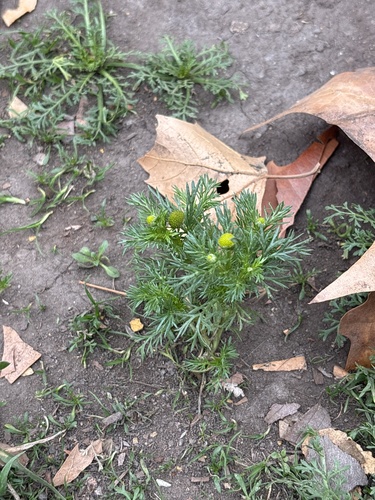
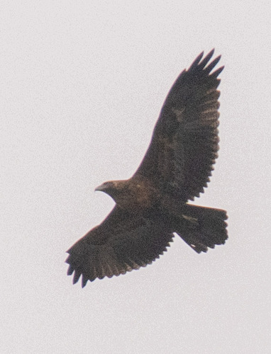
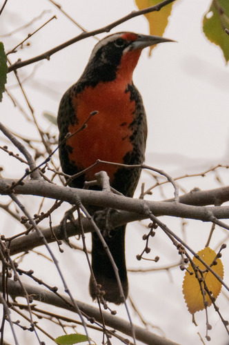
Research-grade observations from iNaturalist (within ~15 mi).
Events
Notable, recurring, and historical events associated with Santiago, sourced from Wikidata.
- Oct 29, 2023
- volleyball at the 2023 Pan American Games – women's tournamentOct 21, 2023event
volleyball women's tournament at the 2023 Pan American Games
- weightlifting at the 2023 Pan American Games – women's 49 kgOct 1, 2023sporting event
international sporting event
- weightlifting at the 2023 Pan American Games – men's 102 kgOct 1, 2023sporting event
international sporting event
- weightlifting at the 2023 Pan American Games – men's +102 kgOct 1, 2023sporting event
international sporting event
- Oct 1, 2023
- weightlifting at the 2023 Pan American Games – women's +81 kgOct 1, 2023sporting event
international sporting event
- weightlifting at the 2023 Pan American Games – women's 81 kgOct 1, 2023sporting event
international sporting event
- weightlifting at the 2023 Pan American Games – men's 89 kgOct 1, 2023sporting event
international sporting event
- weightlifting at the 2023 Pan American Games – women's 71 kgOct 1, 2023sporting event
international sporting event
- weightlifting at the 2023 Pan American Games – men's 61 kgOct 1, 2023sporting event
international sporting event
- weightlifting at the 2023 Pan American Games – men's 73 kgOct 1, 2023sporting event
international sporting event
- weightlifting at the 2023 Pan American Games – women's 59 kgOct 1, 2023sporting event
international sporting event
- Jan 1, 2023
- Jan 1, 2023
- Jan 1, 2023
- Jan 1, 2023
- Jan 1, 2023
- Oct 25, 2019
- Oct 14, 2019
Source: Wikidata (CC0).
Gallery
Geotagged photos within ~6 miles of Santiago, from Wikimedia Commons contributors.


.jpg)


.jpg)
.jpg)
_-_Santiago_-_panoramio.jpg)
.jpg)
Photos via Wikimedia Commons — see each image page for license & attribution.
Sources
- • Wikipedia
- • Wikimedia Commons
- • Wikidata
- • USGS Earthquake Catalog (global feed)
- • GBIF (Global Biodiversity Information Facility)
- • iNaturalist
- • Open-Meteo / sunrise-sunset.org
- • Wikipedia Pageviews API
- • Open Library
- • Wikidata SPARQL (CC0) — population, area, elevation, inception, head of government, Commons image