Browse / Cameroon / West / Bafoussam
Bafoussam
Westcity

Bafoussam
Total population
480,000
Demographic figures from Institut National de la Statistique (Cameroon). Overview below cites Wikipedia and may reference a different year.
City facts
Sister cities
Facts from Wikidata (CC0).
Overview
Bafoussam is the capital and largest city of the West Region of Cameroon, in the Bamboutos Mountains. It is the 3rd most important (financially) city in Cameroon, after Yaoundé and Douala. The communauté urbaine of Bafoussam, is a decentralized territorial collectivity. Originally called Urban Commune of Bafoussam, the communauté urbaine of Bafoussam, was born after the Presidential Decree N ° 2008/022 of January 17, 2008 and composed of three communes, namely: the Commune of Bafoussam I, the Commune of Bafoussam II (Baleng) and the Commune of Bafoussam III (Bamougoum).
Read more on WikipediaHistory & geography
History
The Bafoussam people originate from the Bamileke ethnic group, which are the natives of the same region. Claims are made that the Bamileke were descendants of the Baladis who left Egypt in the ninth century of our era. They arrived in the Tikar region around the middle of the twelfth century before dividing around 1360 when their last king, King Ndeh, died. Yende, the first prince, refused the throne and crossed the Nun (Noun river) to found the Bafoussam kingdom. His sister turned to the Banso area (there are about thirty Bamileke villages in the English-speaking North West). Two decades later, Ncharé, the youngest, went down to the plain of Noun to found the Bamoun kingdom. From Bafoussam were born almost all the other Bamileke Kingdoms, between the fifteenth century and the twentieth century (Bansoa was born in 1910 following the forced exile of Fo Taghe of Bafoussam) Originally, Bafoussam is written in Bafoussam dialect "Pe Foussan" or "Pe Fussep" which literally means "people of ......". Over time, "Pe" has become "Ba" while retaining the same meaning. When Westerners arrived, they united the two sound elements "Pe" and "Foussan" to make Bafoussam. Another source, however, argues that Bafoussam is Fuh Sep's "bad western translation", meaning "we earn more by selling in detail than wholesale". According to this version, the Bafoussam would be a people who bought wholesale to resell in detail or who sold in detail by measuring in small baskets. Fuh here means to measure and Sap or Sep which means profit or treasure, to symbolize by the small basket in which one sold in detail. Pefuhssap or Pefuhssep means "those who have discovered that profit (treasure) is in retail". It is nevertheless noted that the two sources of information on the origin of the name…
Geography
Bafoussam is built in the foothills of the Banengo and Baleng hills that are covered with savannah vegetation. The city, located at about 1500 meters above sea level is built on stairs on the perimeters of Tamdja neighborhoods (1st floor), shopping center and Djemoum (2nd floor), Djeleng (3rd floor) and lower corners called Mairie rurale and Tougang (4th level). The climate is constantly cool with a temperature oscillating between 15 °C and 27 °C. With climate change in recent years, Bafoussam sometimes reaches 28 °C during the dry season that extends from mid-November to mid-March (four months). The rainy season lasts eight months, from mid-March to mid-November. Köppen-Geiger climate classification system classifies its climate as tropical savanna climate (Aw). However, its temperatures are lower than other locations with this classification due to its high elevation. The city is not very rich in natural rivers. The Mifi River runs along the southern part of the city to fall in the void creating the fall of the . Other small streams including Megang, Nlom, and Vava exist in the city. Next to the fall of the Metche, which is a real attraction, Lake Baleng (this crater lake) is also a tourist attraction.
Excerpted from the corresponding Wikipedia article (CC BY-SA).
Geography
Coordinates & boundaries from the US Census TIGER/Line shapefiles.
Climate
Air quality
Walkability
Amenities nearby
Wildlife & biodiversity
Earthquake history
Photos
Sights & places nearby
Notable people from here


People born within ~10 km, from Wikidata (CC0). Click any name for their Wikipedia article.
Nearby places in West
Geography & sun
Elevation, sunrise/sunset and daylight from Open-Meteo. Solar climatology from NASA POWER.
Nearby airports
Public attention
Pageview totals from the Wikimedia Pageviews API.
Books about Bafoussam
Search results from Open Library.
Recent natural events nearby
Ground air-quality sensors
Recently spotted species
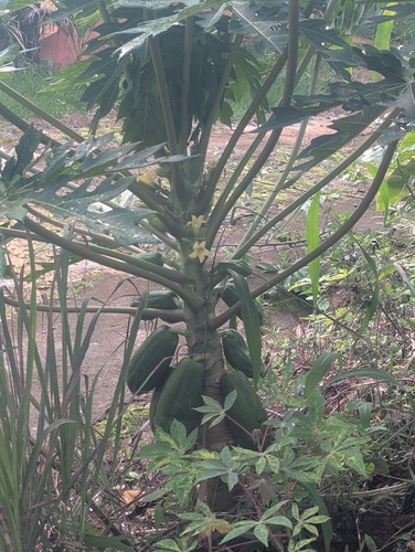
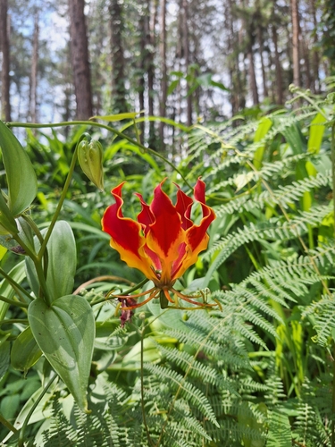
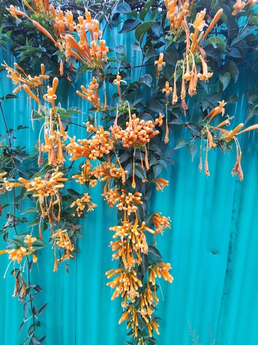
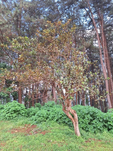
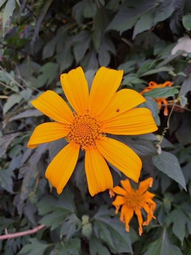
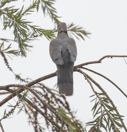
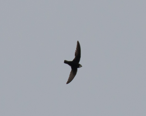
Research-grade observations from iNaturalist (within ~15 mi).
Events
Gallery
Sources
- • Wikipedia
- • Wikidata
- • iNaturalist
- • Open-Meteo / sunrise-sunset.org
- • Wikipedia Pageviews API
- • Open Library
- • Wikidata SPARQL (CC0) — population, area, elevation, inception, head of government, Commons image