Browse / China / Inner Mongolia / Ejin Horo
Ejin Horo
Inner Mongoliacity
Total population
157,000
Demographic figures from National Bureau of Statistics of China. Overview below cites Wikipedia and may reference a different year.
City facts
Overview
Within Inner Mongolia, China, Ejin Horo stands as a mid-sized city. The settlement sits at 39.343°, 109.796°, a warm-temperate location in the northern hemisphere. Recent open-data figures place its population at about 157,000. Climatically, locations at this latitude tend to experience warm summers and cool winters. The sections below expand on demographics, weather, terrain, hazards and nearby points of interest using publicly available datasets.
Summary composed automatically from structured open data on this page. See our Terms for details.
History & geography
Geography
Coordinates & boundaries from the US Census TIGER/Line shapefiles.
Climate
Air quality
Walkability
Amenities nearby
Wildlife & biodiversity
Earthquake history
Most recent
- M 4.2 — 2026-04-2980 km NNE of Yulinshi, China
- M 4.2 — 2024-04-2544 km SSW of Ordos, China
- M 4.2 — 2021-03-18Nei Mongol-Shaanxi border region, China
- M 4.2 — 2021-03-1050 km S of Ordos, China
- M 4.5 — 2020-12-1428 km NE of Yulinshi, China
- M 4.2 — 2017-01-1349 km S of Ordos, China
Events from the USGS Earthquake Catalog (global) (FDSN Event Web Service).
Photos
Sights & places nearby
Notable people from here
Nearby places in Inner Mongolia
- Zasag6.9 mi away
- Ordos18.4 mi away · pop. 2,153,638
- Ulaan Moron21.2 mi away
- Habagexi21.7 mi away
- Shagedu61.4 mi away
- Uxin Banner72.4 mi away · pop. 64,200
- Dalad74.7 mi away · pop. 182,200
- Zhaojun77.2 mi away
- Xuejiawan84.4 mi away
- Baotou88.4 mi away · pop. 2,709,378
- Yaogou92.6 mi away
- Jungar93.7 mi away · pop. 178,300
Geography & sun
Nearby airports
Public attention
Books about this place
Recent natural events nearby
Ground air-quality sensors
Recently spotted species
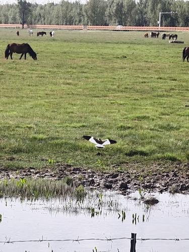
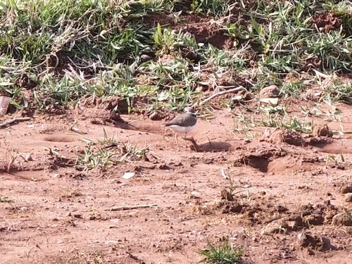

Research-grade observations from iNaturalist (within ~15 mi).
Events
Gallery
Sources
- • Wikidata
- • USGS Earthquake Catalog (global feed)
- • GBIF (Global Biodiversity Information Facility)
- • iNaturalist