Browse / China / Inner Mongolia / Hohhot
Hohhot
Inner Mongoliacity

Hohhot
Total population
3,446,100
Founded
1580
Demographic figures from National Bureau of Statistics of China. Overview below cites Wikipedia and may reference a different year.
City facts
Facts from Wikidata (CC0).
Overview
Hohhot, formerly known as Guihua or Kweisui (Guisui), is the capital and largest city of the northern Chinese autonomous region of Inner Mongolia, serving as the region's administrative, economic and cultural center. Its population was 3,446,100 inhabitants as of the 2020 census, of whom 2,944,889 lived in the metropolitan area consisting of 4 urban districts plus the Tumed Left Banner.
Read more on WikipediaHistory & geography
History
Yunzhong Commandery () was a historical commandery of China. Its territories were between the Great Wall and Yin Mountains, and correspond to part of modern-day Hohhot, Baotou and Ulanqab prefectures in Inner Mongolia. The central city of Yunzhong was in the suburbs of today's Hohhot. The commandery was created during King Wuling of Zhao's reign after a successful campaign against the Linhu (林胡) and Loufan (樓煩) peoples. After the establishment of Qin and Han dynasty, the commandery became the frontier between Han and the Xiongnu. In early Han dynasty, the region saw frequent Xiongnu raids. However, from Emperor Wu's reign onwards, it became an important base of military operations in the wars against the Xiongnu. In 127 BC, it was from Yunzhong that General Wei Qing led a 40,000-men strong cavalry force and conquered the modern Hetao and Ordos regions. In 2 AD, the commandery administered 11 counties, namely Yunzhong (雲中), Xianyang (咸陽), Taolin (陶林), Zhenling (楨陵), Duhe (犢和), Shaling (沙陵), Yuanyang (原陽), Shanan (沙南), Beiyu (北輿), Wuquan (武泉) and Yangshou (陽壽). The population totaled 38,303 households, or 173,270 people. During Eastern Han, 3 counties were abolished, while 3 new counties were added from Dingxiang Commandery. In 140 AD, the population was 5,351 households, or a population of 26,430. Toward the late Han dynasty, the area's population decreased sharply as residents fled from invading northern nomadic peoples, and the commandery was dissolved. The Tuoba chieftain Gui (called Tuoba Gui) was able to refound the Dai empire in 386, and later renamed his state to Wei. From his capital at Shengle (near modern Helingeer). His descendants would, step by step, conquer the north of China, divide the Later Yan realm into two parts, and subdue the Xia (407–431), the…
Geography
Located in the south central part of Inner Mongolia, Hohhot is encircled by the Daqing Shan () to the north and the Hetao Plateau to the south. The city's antipodal location is from the village of Los Menucos in Río Negro Provence, Argentina. File:Txu-oclc-10552568-nk49-11.jpg|Map including Hohhot (labeled as KUEI-SUI) (AMS, 1963) File:Hohhot 111.67286E 40.80952N.jpg|Huhhot and vicinity, LandSat-5 satellite image, 2005-07-12 Hohhot features a cold semi-arid climate (Köppen BSk), marked by long, cold, and very dry winters; hot, somewhat humid summers; strong winds (especially in spring); and monsoonal influence. The coldest month is January, with a daily mean of , while July, the hottest month, averages . The annual mean temperature is , and the annual precipitation is , with more than half of it falling in July and August alone. Variability can be very high, however: in 1965 Hohhot recorded as little as but six years before that, as much as , of which over a third () only in July. Hohhot is a popular destination for tourists during the summer months because of the nearby Zhaohe grasslands. More recently, due to desertification, the city sees sandstorms on almost an annual basis. With monthly percent possible sunshine ranging from 54 percent in November to 66 percent in September, sunshine is abundant year-round, the city receives 2,680 hours of bright sunshine annually. Extreme temperatures have ranged from on 6 February 1951 to on 30 July 2010, though unofficially a record low of was recorded in January 1930.
Excerpted from the corresponding Wikipedia article (CC BY-SA).
Geography
Coordinates & boundaries from the US Census TIGER/Line shapefiles.
Climate
Air quality
Walkability
Amenities nearby
Wildlife & biodiversity
Earthquake history
Photos
Sights & places nearby
Notable people from here


People born within ~10 km, from Wikidata (CC0). Click any name for their Wikipedia article.
Nearby places in Inner Mongolia
Geography & sun
Elevation, sunrise/sunset and daylight from Open-Meteo. Solar climatology from NASA POWER.
Nearby airports
Public attention
Pageview totals from the Wikimedia Pageviews API.
Books about Hohhot
Search results from Open Library.
Recent natural events nearby
Ground air-quality sensors
Recently spotted species
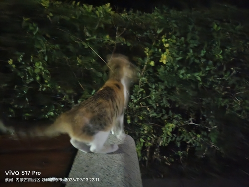
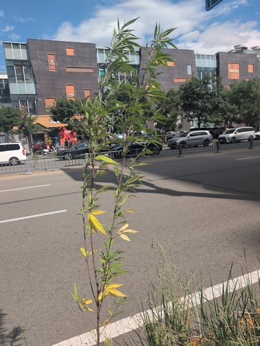
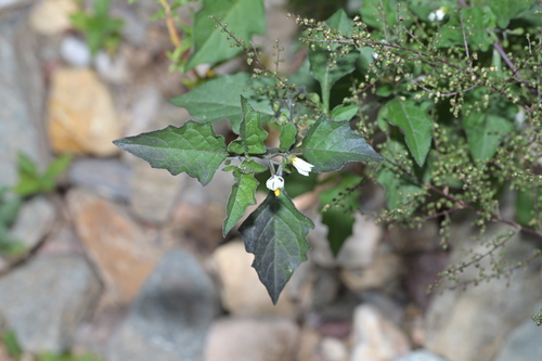
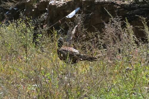
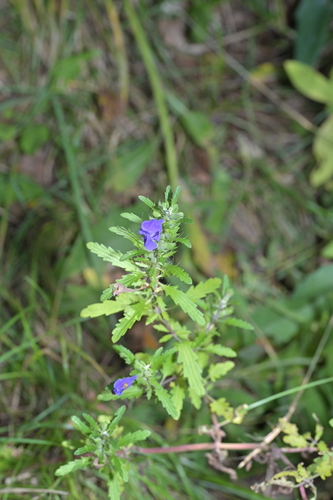
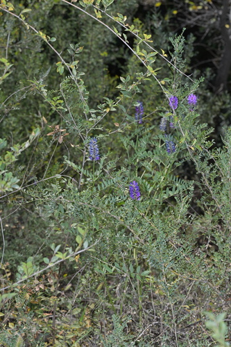
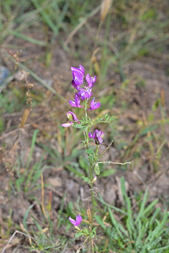
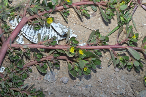
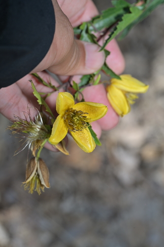
Research-grade observations from iNaturalist (within ~15 mi).
Events
Gallery
Sources
- • Wikipedia
- • Wikidata
- • iNaturalist
- • Open-Meteo / sunrise-sunset.org
- • Wikipedia Pageviews API
- • Open Library