Browse / China / Xinjiang / Kuqa
Kuqa
Xinjiangcity

Kuqa
Total population
186,300
Demographic figures from National Bureau of Statistics of China. Overview below cites Wikipedia and may reference a different year.
City facts
Facts from Wikidata (CC0).
Overview
Kuqa is a county-level city in Aksu Prefecture, Xinjiang, China. It is located in the center of Xinjiang, where the northern limit of the Tarim Basin meets the southern foot of the Tian Shan mountains. The area was once the site of the ancient Buddhist kingdom of Kucha, an important Central Asian state during the height of the Silk Road. The Uyghur-majority city is known for its Buddhist caves and temple ruins which predate the arrival of Islam.
Read more on WikipediaHistory & geography
History
The archaeological excavation of Neolithic cultural sites, such as the (), indicates that ancient human activity occurred in the area of present-day city as early as 12,000 years ago. According to the Book of Han (completed in 111 CE), Kucha was the largest of the "Thirty-Six Kingdoms of the Western Regions", with a population of 81,317, including 21,076 persons able to bear arms. In 630, Xuanzang, a well-known Chinese Buddhist monk, scholar, traveller and translator, visited Kucha during the early Tang dynasty. In the book Hudud al-'Alam, written in 982 by an unknown Arab or Persian writer and presented to Abu'l Haret Muhammad of Guzgan (present-day northern Afghanistan), the following is written regarding Kucha: Mirza Muhammad Haidar Dughlat, a military general, in his book Tarikh-i-Rashidi used the name Kūsān for Kucha. Mahmud Kashgari, in his Compendium of Turkic Languages (Dīwān Lughāt al-Turk), wrote the following about Kucha: "It is one of the cities built by Zülqarnayin" (Alexander the Great). He also wrote that Kucha was a Uyghur town. In 1758, the Qing dynasty took control of the area, and the Chinese transliteration Kuche () was made the name of the area. Kucha was made a county in 1913, within the fourth district of Xinjiang Province. In 1930, Xinjiang was partitioned into 12 districts to establish Tokesu County. On 20 December 2019, Kuqa County was disestablished and Kuqa City was created in its place.
Geography
Kuqa is located at the southern periphery of the Tian Shan range, the northern portion of the Tarim Basin, and the centre of Xinjiang. It occupies part of the northeastern portion of Aksu Prefecture, bordering Xinhe County and Xayar County, as well as Luntai County and Heiing County in the Bayingolin Mongol Autonomous Prefecture. The city has a continental desert climate (Köppen BWk), with an average annual precipitation of , a majority of which occurs in summer. The monthly 24-hour average temperature ranges from in January to in July, and the annual mean is . The frost-free period lasts for 266 days on average. With monthly per cent possible sunshine ranging from 54% in March to 69% in September and October, sunshine is abundant and the city receives 2,712 hours of bright sunshine annually.
Excerpted from the corresponding Wikipedia article (CC BY-SA).
Geography
Coordinates & boundaries from the US Census TIGER/Line shapefiles.
Climate
Air quality
Walkability
Amenities nearby
Wildlife & biodiversity
Earthquake history
Photos
Sights & places nearby
Notable people from here


People born within ~10 km, from Wikidata (CC0). Click any name for their Wikipedia article.
Nearby places in Xinjiang
Geography & sun
Elevation, sunrise/sunset and daylight from Open-Meteo. Solar climatology from NASA POWER.
Nearby airports
Public attention
Pageview totals from the Wikimedia Pageviews API.
Books about Kuqa
Search results from Open Library.
Recent natural events nearby
Ground air-quality sensors
Recently spotted species

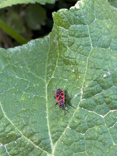
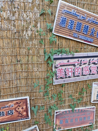
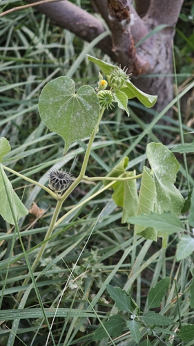
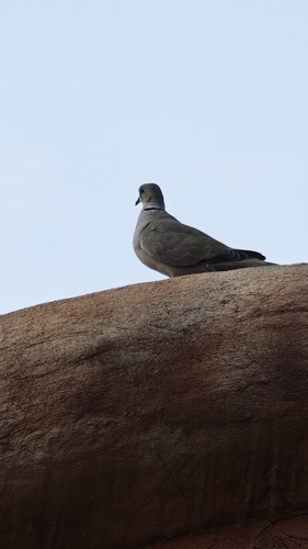
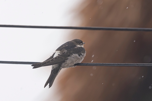
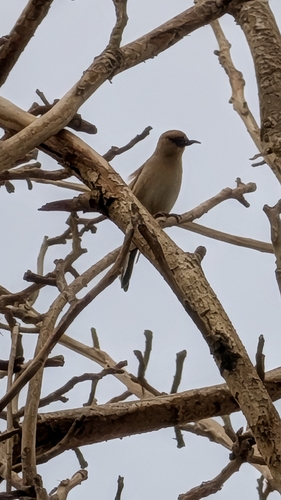
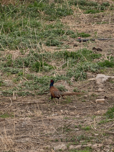
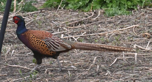
Research-grade observations from iNaturalist (within ~15 mi).
Events
Gallery
Sources
- • Wikipedia
- • Wikidata
- • iNaturalist
- • Open-Meteo / sunrise-sunset.org
- • Wikipedia Pageviews API
- • Open Library