Browse / China / Beijing / Pingfang
Pingfang
Beijingtown
Air quality index
Demographic figures from National Bureau of Statistics of China. Overview below cites Wikipedia and may reference a different year.
City facts
Overview
Set in Beijing, China, Pingfang is recorded in open geodata as a town. Detailed population figures are not currently catalogued in the open data sources we track. Coordinates of 39.936°, 116.525° situate Pingfang in the warm-temperate zone of the northern hemisphere. The location receives about 1,443 kWh/m² of solar irradiance per year and sunshine for roughly 56% of daylight hours. Its latitude implies a climate characterised by warm summers and cool winters. Climate records indicate average highs near 66.1°F and lows near 46.5°F and about 26.2 in of annual precipitation (a moderate total). Open-data panels below dive into population trends, climate normals, environmental indicators and nearby places.
Summary composed automatically from structured open data on this page. See our Terms for details.
History & geography
Geography
Coordinates & boundaries from the US Census TIGER/Line shapefiles.
Climate
10-year averages from ERA5 reanalysis (Open-Meteo).
Air quality
Current readings from Open-Meteo Air Quality API (Copernicus CAMS European reanalysis).
Walkability
Amenities nearby
Wildlife & biodiversity
Most-observed species
- Oriental MagpiePica serica Gould, 1845 · Aves8,882
- Eurasian Tree SparrowPasser montanus (Linnaeus, 1758) · Aves8,667
- Azure-winged MagpieCyanopica cyanus (Pallas, 1776) · Aves8,633
- Spotted DoveSpilopelia chinensis (Scopoli, 1786) · Aves7,660
- Light-vented BulbulPycnonotus sinensis (Gmelin, 1789) · Aves6,948
- Chinese BlackbirdTurdus mandarinus Bonaparte, 1850 · Aves6,947
- MallardAnas platyrhynchos Linnaeus, 1758 · Aves6,650
- Great Spotted WoodpeckerDendrocopos major (Linnaeus, 1758) · Aves5,905
Citizen-science & research observations from the Global Biodiversity Information Facility (GBIF).
Earthquake history
Most recent
- M 4.6 — 2018-02-1215 km SSW of Langfang, China
- M 4.2 — 2014-09-0654 km SE of Zhangjiakou Shi Xuanhua Qu, China
- M 4 — 2012-08-252 km SSE of Heilangkou, China
- M 4.1 — 2003-04-230 km W of Dongtazhuang, China
- M 4.2 — 2002-08-0351 km SE of Zhangjiakou Shi Xuanhua Qu, China
Events from the USGS Earthquake Catalog (global) (FDSN Event Web Service).
Photos
Sights & places nearby
Notable people from here
People born within ~10 km, from Wikidata (CC0). Click any name for their Wikipedia article.
Nearby places in Beijing
Geography & sun
Elevation, sunrise/sunset and daylight from Open-Meteo. Solar climatology from NASA POWER.
Nearby airports
Public attention
Books about Pingfang
Search results from Open Library.
Recent natural events nearby
Ground air-quality sensors
Recently spotted species
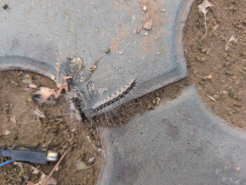

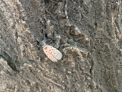
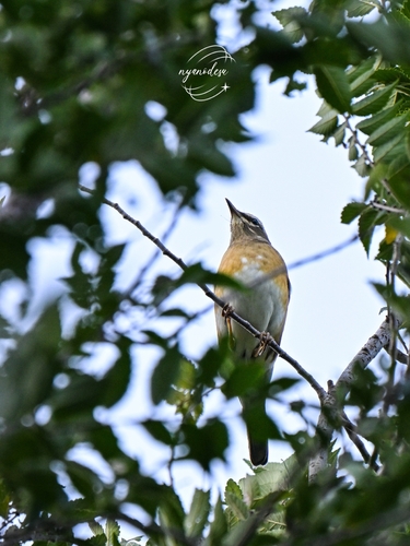
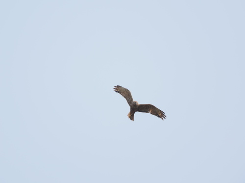

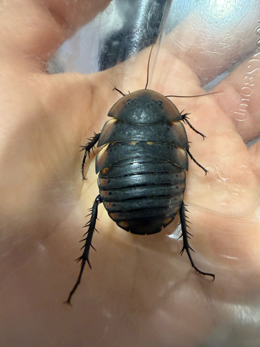

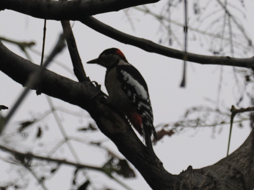
Research-grade observations from iNaturalist (within ~15 mi).
Events
Gallery
Sources
- • Open-Meteo (ERA5 reanalysis)
- • Wikidata
- • Open-Meteo Air Quality (CAMS)
- • USGS Earthquake Catalog (global feed)
- • GBIF (Global Biodiversity Information Facility)
- • iNaturalist
- • Open-Elevation
- • Open-Meteo / sunrise-sunset.org
- • Open Library