Browse / China / Zhejiang / Xintong
Xintong
Zhejiangtown
Air quality index
Demographic figures from National Bureau of Statistics of China. Overview below cites Wikipedia and may reference a different year.
City facts
Overview
Within Zhejiang, China, Xintong stands as a town. On the world map it falls within the Eastern Hemisphere, specifically at 29.915°, 119.818°. Detailed population figures are not currently catalogued in the open data sources we track. Its latitude implies a climate characterised by hot summers and mild winters typical of the subtropics. Read on for charts and tables covering demographics, climate, hazards, schools, wildlife and other open-data indicators for Xintong.
Summary composed automatically from structured open data on this page. See our Terms for details.
History & geography
Geography
Coordinates & boundaries from the US Census TIGER/Line shapefiles.
Climate
Air quality
Current readings from Open-Meteo Air Quality API (Copernicus CAMS European reanalysis).
Walkability
Amenities nearby
Wildlife & biodiversity
Most-observed species
- Light-vented BulbulPycnonotus sinensis (Gmelin, 1789) · Aves26
- White WagtailMotacilla alba Linnaeus, 1758 · Aves25
- Little Egret/Western Reef-HeronEgretta garzetta (Linnaeus, 1766) · Aves23
- Eurasian Tree SparrowPasser montanus (Linnaeus, 1758) · Aves21
- Cinereous TitParus cinereus Vieillot, 1818 · Aves21
- Spotted DoveSpilopelia chinensis (Scopoli, 1786) · Aves19
- Oriental Magpie-RobinCopsychus saularis (Linnaeus, 1758) · Aves18
- Chinese BlackbirdTurdus mandarinus Bonaparte, 1850 · Aves18
Citizen-science & research observations from the Global Biodiversity Information Facility (GBIF).
Earthquake history
Events from the USGS Earthquake Catalog (global) (FDSN Event Web Service).
Photos
Sights & places nearby
Notable people from here
Nearby places in Zhejiang
Geography & sun
Nearby airports
Public attention
Books about this place
Recent natural events nearby
Ground air-quality sensors
Recently spotted species
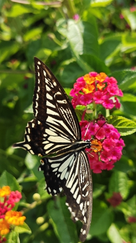
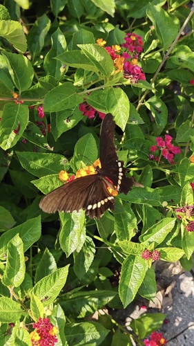
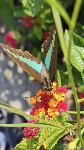
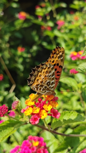
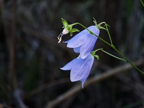
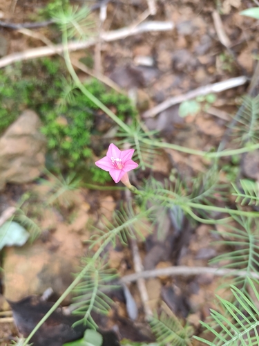
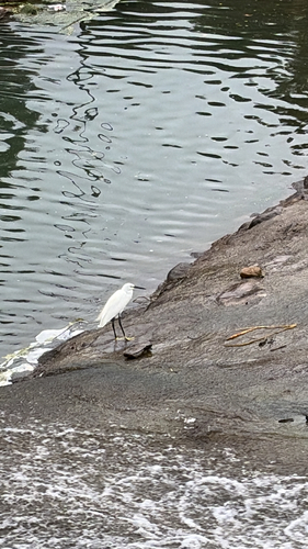
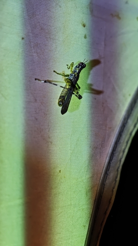
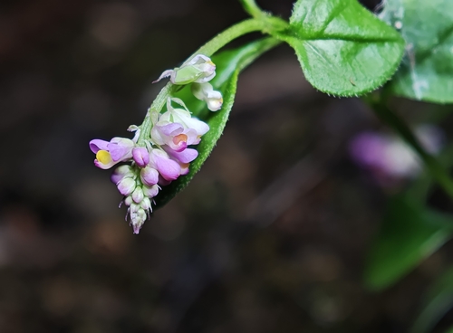
Research-grade observations from iNaturalist (within ~15 mi).
Events
Gallery
Sources
- • Wikidata
- • Open-Meteo Air Quality (CAMS)
- • USGS Earthquake Catalog (global feed)
- • GBIF (Global Biodiversity Information Facility)
- • iNaturalist