Browse / United States / Colorado / Boulder
Boulder
Coloradocity

Boulder
Total population
106,433
Median home value
$1,039,500
Bachelor's+
Median income
$87,493
Founded
1858
Air quality index
Demographic figures from US Census Bureau · ACS 5-year estimates. Overview below cites Wikipedia and may reference a different year.
City facts
Sister cities
Facts from Wikidata (CC0).
Overview
Boulder is a home rule city that is the county seat of, and the most populous municipality in, Boulder County, Colorado, United States. With a population of 108,250 at the 2020 census, it is the 12th-most populous city in Colorado. Boulder is the primary city of the Boulder metropolitan area, which had 330,758 residents in 2020, and is part of the Front Range Urban Corridor.
Read more on WikipediaHistory & geography
History
Archaeological evidence shows that Boulder Valley has been continuously inhabited by Native American tribes for over 13,000 years, beginning in the late Pleistocene era. Between 9500 BC and 1550 AD, indigenous peoples moved seasonally between the mountains and plains, taking shelter in winter along the Front Range trough where Boulder now lies. By the 1500s, the Ute people held primary occupation of Boulder Valley. In the early 1800s, the Arapaho migrated to the region. Additional Native American nations with historical ties to the broader Front Range include the Apache, Arapaho, Cheyenne, Comanche, Kiowa, Pawnee, Shoshone, Sioux, and Ute peoples. In the 1800s, European Americans settled in the area. Boulder was founded in late 1858 when prospectors led by Thomas Aikins arrived at Boulder Canyon during the Colorado Gold Rush. According to historical accounts, they initially camped in an area historically associated with Arapaho leader Chief Niwot, though the Arapaho's stable settlement had been displaced by earlier treaty obligations. Under the Treaty of Fort Wise (1861), the Arapaho were formally forced to relocate to the Cheyenne-Arapaho Reservation. Some of these early settlers later participated in the 1864 Sand Creek massacre, where Niwot himself was killed. In early 1859, gold was discovered along Boulder Creek, drawing more miners and merchants to the area. The Boulder City Town Company was formed in February 1859 to establish a settlement at the canyon mouth. The Boulder, Nebraska Territory, post office opened on April 22, 1859. On August 24, 1859, voters of the Pike's Peak mining region approved the formation of the Provisional Government of the Territory of Jefferson, and on November 28, 1859, the extralegal Jefferson Territory created Jackson County with…
Geography
The city of Boulder is located in the Boulder Valley, where the Rocky Mountains meet the Great Plains. The Flatirons, slabs of sedimentary stone tilted up on the foothills, are located west of the city and are a widely recognized symbol of Boulder. Boulder Creek is the primary flow of water through Boulder. The creek was named before the city's founding and its etymology is unknown. It is from Boulder Creek that the city is believed to have taken its name. Boulder Creek has significant water flow, derived primarily from snow melt and minor springs west of the city. The creek flows into St. Vrain Creek east of Longmont, which is a tributary of the South Platte River. At the 2020 United States census, the city had a total area of , including of water. Denver International Airport is located east-southeast of Boulder. In 1899, government preservation of open space around Boulder began, with the Congress of the United States approving the allocation of of mountain backdrop and watershed extending from South Boulder Creek to Sunshine Canyon. Boulder has created an Urban Wildlife Management Plan which sets policies for managing and protecting urban wildlife. The city's Parks and Recreation and Open Space and Mountain Parks departments have volunteers who monitor parks, including wetlands, lakes, etc., to protect ecosystems. From time to time, parks and hiking trails are closed to conserve or restore ecosystems. Traditionally, Boulder has avoided using chemical pesticides to control the insect population. However, with the threat of West Nile virus, the city began an integrative plan to control the mosquito population in 2003 that includes chemical pesticides. Residents can opt out of the program by contacting the city and asking that their areas not be sprayed.…
Excerpted from the corresponding Wikipedia article (CC BY-SA).
Demographics & economy
Race & ethnicity
Source: US Census Bureau — American Community Survey, 5-year estimates.
Geography
Coordinates & boundaries from the US Census TIGER/Line shapefiles.
Climate
Current forecast
Forecast for Boulder, CO from NOAA NWS API.
Air quality
Current readings from Open-Meteo Air Quality API (Copernicus CAMS European reanalysis).
Industrial & pollution facilities
Natural hazard risk
Health (adults)
Age-adjusted prevalence estimates from CDC PLACES (latest release).
Walkability
Amenities nearby
Wildlife & biodiversity
Most-observed species
- House FinchHaemorhous mexicanus (P.L.Statius Müller, 1776) · Aves58,408
- Black-capped ChickadeePoecile atricapillus (Linnaeus, 1766) · Aves51,881
- American RobinTurdus migratorius Linnaeus, 1766 · Aves51,360
- Red-winged BlackbirdAgelaius phoeniceus (Linnaeus, 1766) · Aves48,714
- Northern FlickerColaptes auratus (Linnaeus, 1758) · Aves47,895
- MallardAnas platyrhynchos Linnaeus, 1758 · Aves45,416
- Canada Goose (canadensis Group)Branta canadensis (Linnaeus, 1758) · Aves43,717
- Blue JayCyanocitta cristata (Linnaeus, 1758) · Aves43,462
Citizen-science & research observations from the Global Biodiversity Information Facility (GBIF).
Schools
Largest nearby schools
- Boulder High SchoolHigh · BOULDER · 2,074 students · 20.3:1 ratio
- Fairview High SchoolHigh · BOULDER · 1,880 students · 21.6:1 ratio
- Centaurus High SchoolHigh · LAFAYETTE · 1,525 students · 18.8:1 ratio
- Monarch High SchoolHigh · LOUISVILLE · 1,523 students · 20.9:1 ratio
- Peak to Peak Charter SchoolOther · LAFAYETTE · 1,450 students · 19.3:1 ratio
- Niwot High SchoolHigh · NIWOT · 1,355 students · 24.2:1 ratio
- Silver Creek High SchoolHigh · LONGMONT · 1,250 students · 23.1:1 ratio
- Altona Middle SchoolMiddle · LONGMONT · 770 students · 19.7:1 ratio
Public K–12 schools within ~10 mi from Urban Institute Education Data Portal (NCES Common Core of Data, 2022).
Earthquake history
Most recent
- M 2.7 — 2025-06-137 km SE of Erie, Colorado
- M 2.5 — 2020-10-242 km ESE of Georgetown, Colorado
- M 2.9 — 2019-03-307 km NE of Greeley, Colorado
- M 3 — 2016-11-068 km ENE of Greeley, Colorado
- M 2.7 — 2016-11-068 km ENE of Greeley, Colorado
- M 2.6 — 2016-08-232 km SSE of Eaton, Colorado
Events from the USGS Earthquake Catalog (global) (FDSN Event Web Service).
Photos
Sights & places nearby
Notable people from here


People born within ~10 km, from Wikidata (CC0). Click any name for their Wikipedia article.
Nearby places in Colorado
Geography & sun
Elevation, sunrise/sunset and daylight from Open-Meteo. Solar climatology from NASA POWER.
Nearby airports
Public attention
Pageview totals from the Wikimedia Pageviews API.
Books about Boulder

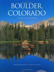
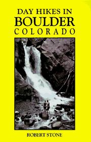


Search results from Open Library.
Recent natural events nearby
- Hammer Wildfire, El Paso, ColoradoWildfires · 2026-04-22 · 100 mi
- South Fork Wildfire, Sioux, NebraskaWildfires · 2026-06-09 · 200 mi
- Poitrey Canyon Wildfire, Las Animas, ColoradoWildfires · 2026-04-24 · 206 mi
- Ash Pole Wildfire, Dawes, NebraskaWildfires · 2026-05-14 · 208 mi
- Rochelle 2 Wildfire, Converse, WyomingWildfires · 2026-05-13 · 240 mi
- Tucker Wildfire, Hooker, NebraskaWildfires · 2026-04-26 · 242 mi
Wildfires, storms and other events from NASA EONET (last 12 months, within 250 mi).
Ground air-quality sensors
Recently spotted species
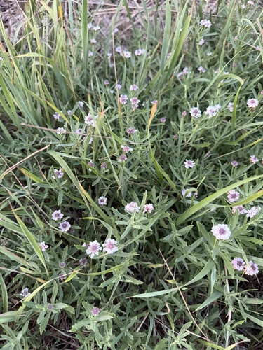
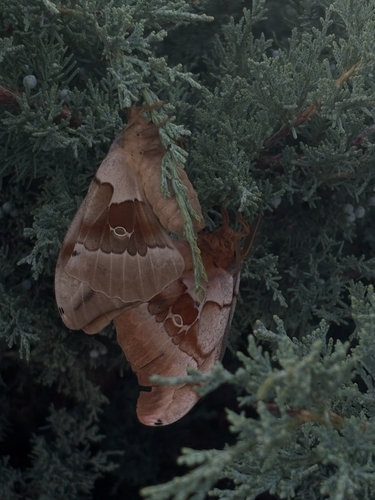
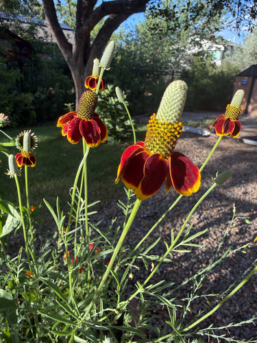
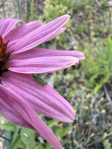
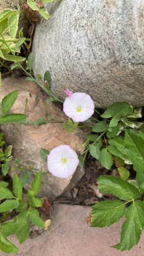
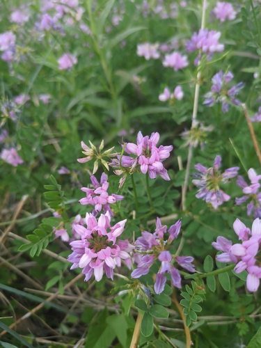
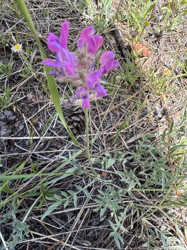
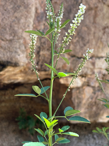
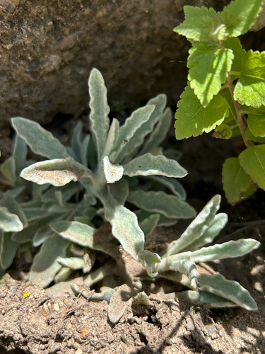
Research-grade observations from iNaturalist (within ~15 mi).
Nearest stream gauge
Live readings from USGS NWIS · measured 2026-06-27 23:20 UTC.
Events
Notable, recurring, and historical events associated with Boulder, sourced from Wikidata.
- 180th National Puzzlers' League conventionJul 11, 2019recurring event edition
- 146th National Puzzlers' League conventionJul 1, 1985recurring event edition
Source: Wikidata (CC0).
Gallery
Geotagged photos within ~6 miles of Boulder, from Wikimedia Commons contributors.
 0 mi
0 mi 0 mi
0 mi 0 mi
0 mi 0 mi
0 mi 0 mi
0 mi 0 mi
0 mi 0 mi
0 mi 0 mi
0 mi 0 mi
0 mi 0 mi
0 mi 0 mi
0 mi 0 mi
0 mi 0 mi
0 mi 0 mi
0 mi 0 mi
0 mi 0 mi
0 mi 0 mi
0 mi 0.1 mi
 0.1 mi
 0.1 mi
 0.1 mi
 0.1 mi
 0.1 mi
 0.1 mi
Photos via Wikimedia Commons — see each image page for license & attribution.
Sources
- • Wikipedia
- • US Census Bureau (ACS 5-year estimates)
- • NOAA National Weather Service
- • Wikimedia Commons
- • Wikidata
- • Open-Meteo Air Quality (CAMS)
- • USGS Earthquake Catalog (global feed)
- • USGS NWIS (water data)
- • NCES via Urban Institute Education Data Portal
- • GBIF (Global Biodiversity Information Facility)
- • iNaturalist
- • CDC PLACES
- • Open-Meteo / sunrise-sunset.org
- • Wikipedia Pageviews API
- • Open Library
- • NASA EONET