Browse / United States / Colorado / Castle Rock
Castle Rock
Coloradotown

Castle Rock
Total population
79,123
Median home value
$652,900
Bachelor's+
Median income
$145,197
Founded
1874
Demographic figures from US Census Bureau · ACS 5-year estimates. Overview below cites Wikipedia and may reference a different year.
City facts
Facts from Wikidata (CC0).
Overview
Castle Rock is a home rule town that is the county seat of and the most-populous municipality in Douglas County, Colorado, United States. The town's population was 73,158 at the 2020 census, a 51.68% increase since the 2010 census. Castle Rock is the most-populous Colorado town and the 14th-most populous Colorado municipality. Castle Rock is a part of the Denver-Aurora-Lakewood, CO metropolitan statistical area and the Front Range urban corridor.
Read more on WikipediaHistory & geography
History
White settlers were drawn to the area by rumors of gold and by land opened through the Homestead Act of 1862. The discovery of rhyolite stone, though, not gold, ultimately led to the settlement of Castle Rock. Castle Rock was founded in 1874 when the eastern Douglas County border was redrawn to its present location. Castle Rock was chosen as the county seat because of its central location. One of the first homesteaders in the area near today's Castle Rock was Jeremiah Gould. He owned about to the south of "the (Castle) Rock". At that time, the settlement consisted of just a few buildings for prospectors, workers, and cowboys. In 1874, Gould donated to the new town, which was also now home to the Douglas County government. Six streets named Elbert, Jerry, Wilcox, Perry, Castle, and Front were laid out to build the actual town of Castle Rock. The courthouse square was defined and about 77 lots, each , were auctioned off for a total profit of US$3,400. A new train depot brought the Denver and Rio Grande Railway to the area. During the late 1800s and early 1900s, Castle Rock had a very active rhyolite-quarrying industry. Many immigrants arrived in the area to work in the quarries. In 1936, the town received a donation of land that included its namesake geographical feature. Men employed by the Works Progress Administration constructed a star atop the butte shortly after Castle Rock received that donation. The star was lit every year from 1936 to 1941. After World War II began, the star was left unlit as a symbol of sacrifice in support of the war effort. On August 14, 1945, shortly after V-J Day, the star was modified into a V-for-victory symbol. On December 7, 1945, the star was lit for the holiday season. It has been lit every year since around the same time. The…
Geography
Castle Rock is located in central Colorado at the junction of Interstate 25 and State Highway 86, south of downtown Denver and north of Colorado Springs. The town lies a few miles east of the Rampart Range of the Rocky Mountains on the western edge of the Great Plains. Castle Rock, the butte for which the town is named, is just north of the town center. Other prominent landforms visible from Castle Rock include Dawson Butte, Devils Head, Mount Blue Sky, and Pikes Peak. East Plum Creek, a stream within the South Platte River watershed, flows generally north through Castle Rock. Hangman's Gulch, which runs northwest then west around the north side of the town center, drains into East Plum Creek, as do multiple unnamed gulches in the southern and western areas of town. McMurdo Gulch and Mitchell Gulch run north then northeast through eastern Castle Rock and drain into Cherry Creek east of town. Castle Rock is in the Colorado Foothills life zone. The hillsides are covered with meadows of grass, small plants, scattered juniper trees, and open ponderosa pine woodlands. Other trees common in the area include Gambel oak (scrub oak or oak brush) and pinyon pine. Local wildlife includes the American badger, American black bear, bobcat, coyote, Colorado chipmunk, crow, garter snakes, gray fox, mountain cottontail rabbit, mountain lion, mule deer, pocket gopher, porcupine, skunk, and tadpoles. Birds found in the area include the golden eagle, peregrine falcon, sharp-shinned hawk, black-billed magpie, red-tailed hawk, pinyon jay, and western tanager. The town had a total area of , all land in 2023. Castle Rock borders three communities, all to its north; from west to east, they are Castle Pines Village, the city of Castle Pines, and The Pinery. Other nearby communities…
Excerpted from the corresponding Wikipedia article (CC BY-SA).
Demographics & economy
Race & ethnicity
Source: US Census Bureau — American Community Survey, 5-year estimates.
Geography
Coordinates & boundaries from the US Census TIGER/Line shapefiles.
Climate
Current forecast
Forecast for Castle Rock, CO from NOAA NWS API.
Air quality
Industrial & pollution facilities
Natural hazard risk
Health (adults)
Age-adjusted prevalence estimates from CDC PLACES (latest release).
Walkability
Amenities nearby
Wildlife & biodiversity
Most-observed species
- House FinchHaemorhous mexicanus (P.L.Statius Müller, 1776) · Aves15,411
- Black-capped ChickadeePoecile atricapillus (Linnaeus, 1766) · Aves11,734
- Spotted TowheePipilo maculatus Swainson, 1827 · Aves11,286
- Northern FlickerColaptes auratus (Linnaeus, 1758) · Aves10,104
- American RobinTurdus migratorius Linnaeus, 1766 · Aves9,759
- American CrowCorvus brachyrhynchos C.L.Brehm, 1822 · Aves9,389
- Woodhouse's Scrub-JayAphelocoma woodhouseii (S.F.Baird, 1858) · Aves8,719
- Black-billed MagpiePica hudsonia (Sabine, 1823) · Aves8,322
Citizen-science & research observations from the Global Biodiversity Information Facility (GBIF).
Schools
Earthquake history
Most recent
- M 3 — 2025-10-1711 km NNE of Black Forest, Colorado
- M 2.7 — 2025-06-137 km SE of Erie, Colorado
- M 2.5 — 2020-10-242 km ESE of Georgetown, Colorado
- M 2.9 — 2008-02-2629 km WNW of Westcreek, Colorado
Events from the USGS Earthquake Catalog (global) (FDSN Event Web Service).
Photos
Sights & places nearby
Notable people from here
Nearby places in Colorado
- Castle Pines Village5.1 mi away
- Stepping Stone9.7 mi away
- Parker9.9 mi away
- Perry Park10.1 mi away · pop. 1,570
- Larkspur10.3 mi away
- Lone Tree10.7 mi away
- Sierra Ridge10.7 mi away
- Louviers10.8 mi away
- Stonegate11.3 mi away
- Grand View Estates11.6 mi away
- Ponderosa Park11.7 mi away
- Meridian11.7 mi away · pop. 5,634
Geography & sun
Elevation, sunrise/sunset and daylight from Open-Meteo. Solar climatology from NASA POWER.
Nearby airports
Public attention
Pageview totals from the Wikimedia Pageviews API.
Books about Castle Rock
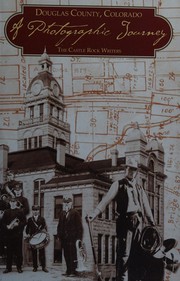

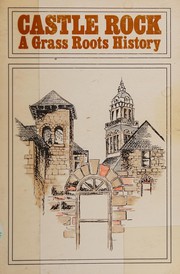
Search results from Open Library.
Recent natural events nearby
- Wildfire Post, Las Animas, ColoradoWildfires · 2026-08-11 · 160 mi
- Wildfire 310, Garfield, ColoradoWildfires · 2026-08-06 · 167 mi
- Wildfire Swiss Roll, Archuleta, ColoradoWildfires · 2026-08-20 · 173 mi
- Wildfire Moonshine, Albany, WyomingWildfires · 2026-09-07 · 180 mi
- Wildfire Sheep Pen, Las Animas, ColoradoWildfires · 2026-08-12 · 180 mi
- Wildfire Rio Blanco, Archuleta, ColoradoWildfires · 2026-07-28 · 194 mi
- Wildfire LAUGHLIN, Colfax, New MexicoWildfires · 2026-08-25 · 198 mi
- Wildfire Rayado Mesa, Colfax, New MexicoWildfires · 2026-07-27 · 211 mi
Wildfires, storms and other events from NASA EONET (last 12 months, within 250 mi).
Ground air-quality sensors
Recently spotted species
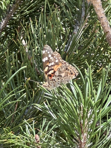
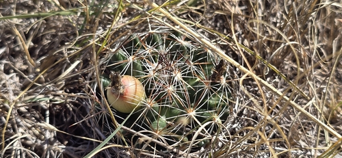
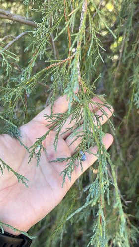
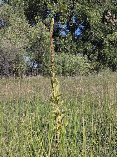
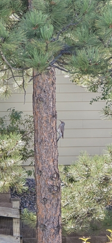
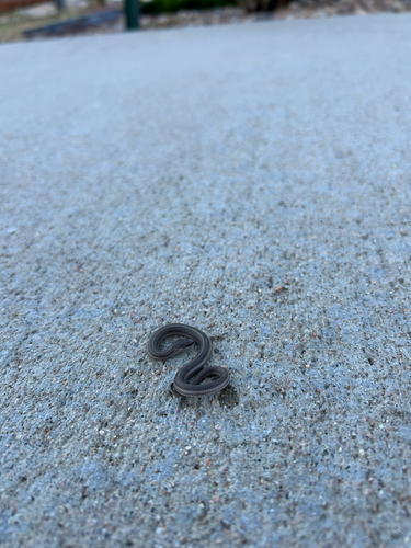
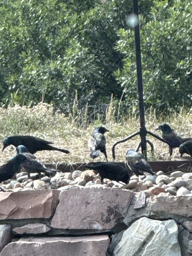
Research-grade observations from iNaturalist (within ~15 mi).
Nearest stream gauge
Events
Gallery
Sources
- • Wikipedia
- • US Census Bureau (ACS 5-year estimates)
- • NOAA National Weather Service
- • Wikidata
- • USGS Earthquake Catalog (global feed)
- • GBIF (Global Biodiversity Information Facility)
- • iNaturalist
- • CDC PLACES
- • Open-Meteo / sunrise-sunset.org
- • Wikipedia Pageviews API
- • Open Library
- • NASA EONET