Browse / United States / Colorado / Colorado Springs
Colorado Springs
Coloradocity

Colorado Springs
Total population
493,540
Median home value
$479,500
Bachelor's+
Median income
$83,672
Founded
1871
Air quality index
Demographic figures from US Census Bureau · ACS 5-year estimates. Overview below cites Wikipedia and may reference a different year.
- Fire Weather Watch · SevereFire Weather Watch issued June 27 at 12:45PM MDT until June 29 at 10:00PM MDT by NWS Pueblo CO
Source: NOAA National Weather Service.
City facts
Facts from Wikidata (CC0).
Overview
Colorado Springs is a home rule city that is the county seat of and the most populous city in El Paso County, Colorado, United States. The city had a population of 478,961 at the 2020 census, a 15.02% increase since 2010. Colorado Springs is the second-most populous city and most extensive city by area in the state of Colorado, and the 40th-most-populous city in the United States. It is the principal city of the Colorado Springs metropolitan area, which had 755,105 residents in 2020, and the second-most prominent city of the Front Range Urban Corridor. It is located in east-central Colorado on Fountain Creek, 70 miles (113 km) south of Denver.
Read more on WikipediaHistory & geography
History
The Ute, Arapaho and Cheyenne peoples were the first recorded inhabiting the area which would become Colorado Springs. Part of the territory included in the United States' 1803 Louisiana Purchase, the current city area was designated part of the 1854 Kansas Territory. In 1859, after the first local settlement was established, it became part of the Jefferson Territory on October 24 and of El Paso County on November 28. Colorado City at the Front Range confluence of Fountain and Camp creeks was "formally organized on August13, 1859" during the Pikes Peak Gold Rush. The Colorado City, Kansas Territory, post office operated from March 24, 1860, until it closed as the Colorado City, Colorado, post office on June 30, 1917. Colorado City served as the capital of the Colorado Territory from November 5, 1861, until August 14, 1862, when the capital was moved to Golden. In 1871 the Colorado Springs Company laid out the towns of La Font (later called Manitou Springs) and Fountain Colony, upstream and downstream respectively, of Colorado City. Later that year, the Fountain Colony was renamed Colorado Springs. The Colorado Springs, Colorado Territory, post office opened on December 1, 1871. The town of Colorado Springs was incorporated on June 19, 1886. By 1898, the city was designated into quadrants by the north-south Cascade Avenue and the east-west Washington/Pikes Peak avenues. From 1899 to 1901 Tesla Experimental Station operated on Knob Hill, and aircraft flights to the Broadmoor's neighboring fields began in 1919. Alexander Airport north of the city opened in 1925, and in 1927 the original Colorado Springs Municipal Airport land was purchased east of the city. The city's military presence began during World War II, beginning with Camp Carson (now the 135,000-acre Fort…
Geography
The city lies in a semi-arid Steppe region, with the Southern Rocky Mountains to the west, the Palmer Divide to the north, high plains further east, and high desert lands to the south when leaving Fountain and approaching Pueblo. Colorado Springs has the greatest total area of any municipality in Colorado. During the 2020 United States census, the city had a total area of including of water. The city has abundant sunshine year-round, averaging 243 sunny days per year, and receives approximately of annual precipitation. Due to unusually low precipitation for several years after flooding in 1999, Colorado Springs enacted lawn water restrictions in 2002. These were lifted in 2005 but permanently reinstated in December 2019. Colorado Springs is one of the most active lightning strike areas in the United States. December is typically the coldest month, averaging . Historically, January had been the coldest month, but, in recent years, December has had both lower daily maxima and minima. Typically, there are 5.2 nights with sub- lows and 23.6 days where the high does not rise above freezing. The first autumn freeze and the last freeze in the spring, on average, occur on October 2 and May 6, respectively; the average window for measurable snowfall (≥) is October 21 through April 25. Extreme temperatures range from on June 26, 2012, and most recently on June 21, 2016, down to on February 1, 1951, and December 9, 1919.
Excerpted from the corresponding Wikipedia article (CC BY-SA).
Demographics & economy
Race & ethnicity
Source: US Census Bureau — American Community Survey, 5-year estimates.
Geography
Coordinates & boundaries from the US Census TIGER/Line shapefiles.
Climate
Current forecast
Forecast for Colorado Springs, CO from NOAA NWS API.
Air quality
Current readings from Open-Meteo Air Quality API (Copernicus CAMS European reanalysis).
Industrial & pollution facilities
Natural hazard risk
Health (adults)
Age-adjusted prevalence estimates from CDC PLACES (latest release).
Walkability
Amenities nearby
Wildlife & biodiversity
Most-observed species
- House FinchHaemorhous mexicanus (P.L.Statius Müller, 1776) · Aves32,394
- Black-billed MagpiePica hudsonia (Sabine, 1823) · Aves23,744
- Spotted TowheePipilo maculatus Swainson, 1827 · Aves23,344
- American RobinTurdus migratorius Linnaeus, 1766 · Aves22,489
- Northern FlickerColaptes auratus (Linnaeus, 1758) · Aves22,434
- Black-capped ChickadeePoecile atricapillus (Linnaeus, 1766) · Aves20,506
- Dark-eyed JuncoJunco hyemalis (Linnaeus, 1758) · Aves16,578
- American CrowCorvus brachyrhynchos C.L.Brehm, 1822 · Aves16,137
Citizen-science & research observations from the Global Biodiversity Information Facility (GBIF).
Schools
Largest nearby schools
- Doherty High SchoolHigh · COLORADO SPRINGS · 1,832 students · 22.3:1 ratio
- Pine Creek High SchoolHigh · COLORADO SPRINGS · 1,815 students · 18.1:1 ratio
- Liberty High SchoolHigh · COLORADO SPRINGS · 1,647 students · 18.3:1 ratio
- Banning Lewis Ranch AcademyOther · COLORADO SPRINGS · 1,600 students · 15.1:1 ratio
- Vista Ridge High SchoolHigh · COLORADO SPRINGS · 1,587 students · 22.7:1 ratio
- Rampart High SchoolHigh · COLORADO SPRINGS · 1,454 students · 16.9:1 ratio
- Palmer High SchoolHigh · COLORADO SPRINGS · 1,384 students · 19.2:1 ratio
- Air Academy High SchoolHigh · USAF ACADEMY · 1,329 students · 15.8:1 ratio
Public K–12 schools within ~10 mi from Urban Institute Education Data Portal (NCES Common Core of Data, 2022).
Earthquake history
Photos
Sights & places nearby
Notable people from here


People born within ~10 km, from Wikidata (CC0). Click any name for their Wikipedia article.
Nearby places in Colorado
- Stratmoor6.6 mi away · pop. 5,412
- Manitou Springs8.2 mi away · pop. 4,735
- Air Force Academy10.4 mi away · pop. 6,727
- Rock Creek Park12.2 mi away · pop. 97
- Gleneagle12.4 mi away · pop. 6,440
- Black Forest14.3 mi away
- Woodland Park18.4 mi away · pop. 7,949
- Peyton18.5 mi away · pop. 139
- Ellicott20.5 mi away
- Midland21.1 mi away · pop. 182
- Cripple Creek24.3 mi away
- Elbert27 mi away · pop. 164
Geography & sun
Elevation, sunrise/sunset and daylight from Open-Meteo. Solar climatology from NASA POWER.
Nearby airports
Public attention
Pageview totals from the Wikimedia Pageviews API.
Books about Colorado Springs


Search results from Open Library.
Recent natural events nearby
- Wildfire Post, Las Animas, ColoradoWildfires · 2026-08-11 · 125 mi
- Wildfire Sheep Pen, Las Animas, ColoradoWildfires · 2026-08-12 · 148 mi
- Wildfire Swiss Roll, Archuleta, ColoradoWildfires · 2026-08-20 · 150 mi
- Wildfire LAUGHLIN, Colfax, New MexicoWildfires · 2026-08-25 · 163 mi
- Wildfire Rio Blanco, Archuleta, ColoradoWildfires · 2026-07-28 · 171 mi
- Wildfire 310, Garfield, ColoradoWildfires · 2026-08-06 · 177 mi
- Wildfire Rabbit Ear East, Union, New MexicoWildfires · 2026-08-24 · 186 mi
- Wildfire Frijoles, Santa Fe, New MexicoWildfires · 2026-08-05 · 213 mi
Wildfires, storms and other events from NASA EONET (last 12 months, within 250 mi).
Ground air-quality sensors
Recently spotted species
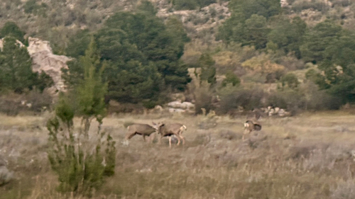
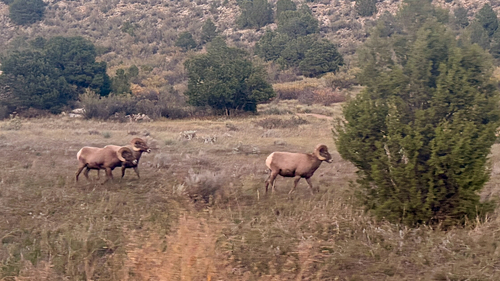
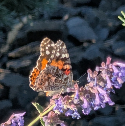
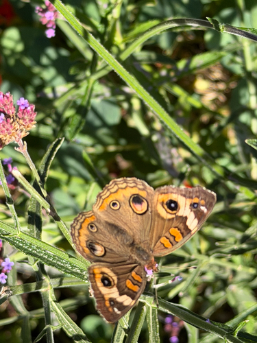
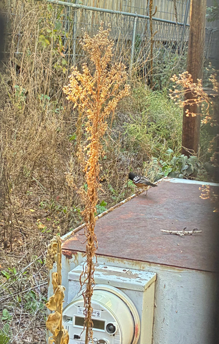
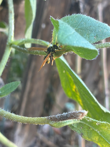
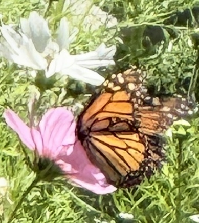
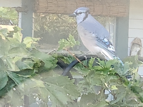
Research-grade observations from iNaturalist (within ~15 mi).
Nearest stream gauge
Live readings from USGS NWIS · measured 2026-06-27 14:45 UTC.
Events
Gallery
Geotagged photos within ~6 miles of Colorado Springs, from Wikimedia Commons contributors.
 0.2 mi
 0.8 mi
.jpg) 0.9 mi
0.9 mi 1 mi
1 mi.jpg) 1.3 mi
1.3 mi 1.6 mi
.png) 1.7 mi
1.7 mi 1.7 mi
 1.8 mi
 1.8 mi
 1.9 mi
 2.1 mi
 2.1 mi
 2.2 mi
 2.2 mi
 2.2 mi
 2.2 mi
 2.3 mi
 2.3 mi
 2.3 mi
.jpg) 2.3 mi
2.3 mi 2.4 mi
 2.4 mi
 2.5 mi
Photos via Wikimedia Commons — see each image page for license & attribution.
Sources
- • Wikipedia
- • US Census Bureau (ACS 5-year estimates)
- • NOAA National Weather Service
- • Wikimedia Commons
- • Wikidata
- • Open-Meteo Air Quality (CAMS)
- • USGS NWIS (water data)
- • NCES via Urban Institute Education Data Portal
- • GBIF (Global Biodiversity Information Facility)
- • iNaturalist
- • CDC PLACES
- • Open-Meteo / sunrise-sunset.org
- • Wikipedia Pageviews API
- • Open Library
- • NASA EONET