Browse / United States / Colorado / Crestone
Crestone
Coloradotown

Crestone
Total population
123
Median home value
$0
Bachelor's+
Median income
$0
Founded
1880
Demographic figures from US Census Bureau · ACS 5-year estimates. Overview below cites Wikipedia and may reference a different year.
City facts
Facts from Wikidata (CC0).
Overview
The Town of Crestone is a statutory town in Saguache County, Colorado. The town's population was 141 according to the 2020 United States census. Crestone is located at the foot of the Sangre de Cristo Range, on the eastern edge of the San Luis Valley. In 1880, George Adams and E. A. Reser purchased land adjoining the northern boundary of the Luis Maria Baca Grant No. 4 and filed the town plat for Crestone on November 4 of that year. In 1971, the Arizona-Colorado Land and Cattle Company formed the Baca Grande Corporation to develop a part of the ranch as the Baca Grande community. By 2012, the development contained approximately 4,000 lots, about 25% of which had been developed.
Read more on WikipediaHistory & geography
History
The first settlement in the Crestone area occurred after the American Civil War with the granting of the Luis Maria Baca Grant No. 4 in 1860 to the heirs of the original Baca Grant at Las Vegas, New Mexico. Title to the grant at Las Vegas was clouded by a second grant of the same land to the residents of Las Vegas, the Bacas having abandoned their grant after the deaths of the founder to a Mexican soldier in 1827 and of his oldest son at the hands of the Navajo in 1835. The Baca heirs were offered alternative lands from the public lands of the United States. The square tract selected is on a side south of Saguache County Road T south of Crestone. The Bacas deeded the land to their attorney, but it soon passed by tax sale to a third party. The ranch headquarters were on Crestone Creek to the southwest of Crestone. The Baca Grant was one of the first large tracts of land to be fenced in the West and was the home of prize Hereford cattle. In addition to ranching, there was some mining in the area to the east and south of Crestone of small shallow iron oxide copper gold ore deposits. In 1880, the town of Crestone was platted by George Adams, the owner of the Baca Grant. The Crestone, Colorado, post office opened on November 16, 1880. In 1900, with the help of Eastern investors, George Adams ignited a minor boom, reopening one of the more promising gold mines and building a railroad spur to the town and the mines along the Range south of town. The Town of Crestone was incorporated on January 24, 1902 Lacking good ore, the boom was short-lived. A long period of decline followed. By 1948, Crestone had declined to its post-war population of 40, mostly retirees and cowboys who worked on the Grant, a nickname for the Baca Grant. Many of the old cabins were used as vacation…
Geography
Crestone is located near the 38th parallel, in the San Luis Valley in south-central Colorado. It is platted on a quarter section of land, or , on the alluvial fan of North Crestone Creek. Much of the land near the creek where the main part of the city sits, is well watered in normal times, but during a prolonged drought the creek may dry up and underground water levels may fall. At the 2020 United States census, the town had a total area of , all of it land. The eastern portion of Road T forms the north boundary of the Baca National Wildlife Refuge. Mountain terrain east of Crestone is managed by the Rio Grande National Forest including part of the Sangre de Cristo Wilderness. Public lands at the foot of the mountains including the forested public land surrounding Crestone are managed by the United States Bureau of Land Management. The combined office of the United States Forest Service and the BLM is in Saguache, Colorado, the county seat.
Excerpted from the corresponding Wikipedia article (CC BY-SA).
Demographics & economy
Race & ethnicity
Source: US Census Bureau — American Community Survey, 5-year estimates.
Geography
Coordinates & boundaries from the US Census TIGER/Line shapefiles.
Climate
Current forecast
Forecast for Crestone, CO from NOAA NWS API.
Air quality
Industrial & pollution facilities
Natural hazard risk
Health (adults)
Age-adjusted prevalence estimates from CDC PLACES (latest release).
Walkability
Amenities nearby
Wildlife & biodiversity
Most-observed species
- American RobinTurdus migratorius Linnaeus, 1766 · Aves392
- Mountain ChickadeePoecile gambeli (Ridgway, 1886) · Aves379
- Common RavenCorvus corax Linnaeus, 1758 · Aves354
- Black-billed MagpiePica hudsonia (Sabine, 1823) · Aves304
- Dark-eyed JuncoJunco hyemalis (Linnaeus, 1758) · Aves288
- Steller's JayCyanocitta stelleri (Gmelin, 1788) · Aves275
- Northern FlickerColaptes auratus (Linnaeus, 1758) · Aves253
- Broad-tailed HummingbirdSelasphorus platycercus (Swainson, 1827) · Aves218
Citizen-science & research observations from the Global Biodiversity Information Facility (GBIF).
Schools
Largest nearby schools
- Crestone Charter SchoolOther · CRESTONE · 82 students · 9.1:1 ratio
Public K–12 schools within ~10 mi from Urban Institute Education Data Portal (NCES Common Core of Data, 2022).
Earthquake history
Photos
Sights & places nearby
Notable people from here
Nearby places in Colorado
Geography & sun
Elevation, sunrise/sunset and daylight from Open-Meteo. Solar climatology from NASA POWER.
Nearby airports
Public attention
Pageview totals from the Wikimedia Pageviews API.
Books about Crestone


Search results from Open Library.
Recent natural events nearby
- Wildfire Swiss Roll, Archuleta, ColoradoWildfires · 2026-08-20 · 73 mi
- Wildfire Rio Blanco, Archuleta, ColoradoWildfires · 2026-07-28 · 93 mi
- Wildfire Post, Las Animas, ColoradoWildfires · 2026-08-11 · 94 mi
- Wildfire LAUGHLIN, Colfax, New MexicoWildfires · 2026-08-25 · 123 mi
- Wildfire Rayado Mesa, Colfax, New MexicoWildfires · 2026-07-27 · 124 mi
- Wildfire Frijoles, Santa Fe, New MexicoWildfires · 2026-08-05 · 144 mi
- Wildfire Sheep Pen, Las Animas, ColoradoWildfires · 2026-08-12 · 147 mi
- Wildfire 310, Garfield, ColoradoWildfires · 2026-08-06 · 159 mi
Wildfires, storms and other events from NASA EONET (last 12 months, within 250 mi).
Ground air-quality sensors
Recently spotted species
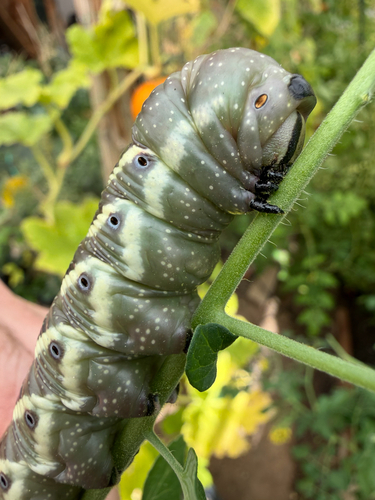
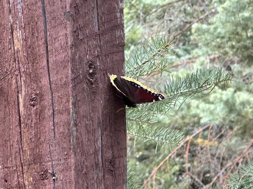
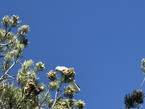
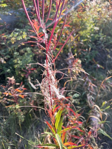
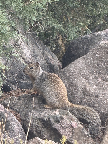
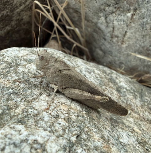
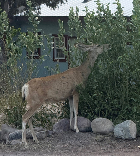
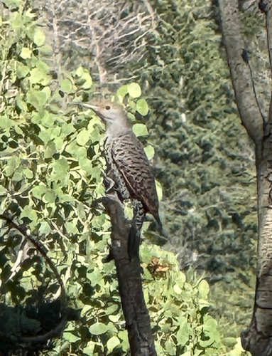
Research-grade observations from iNaturalist (within ~15 mi).
Nearest stream gauge
Live readings from USGS NWIS.
Events
Gallery
Sources
- • Wikipedia
- • US Census Bureau (ACS 5-year estimates)
- • NOAA National Weather Service
- • Wikidata
- • USGS NWIS (water data)
- • NCES via Urban Institute Education Data Portal
- • GBIF (Global Biodiversity Information Facility)
- • iNaturalist
- • CDC PLACES
- • Open-Meteo / sunrise-sunset.org
- • Wikipedia Pageviews API
- • Open Library
- • NASA EONET