Browse / United States / Colorado / Dove Creek
Dove Creek
Coloradotown

Dove Creek
Total population
651
Median home value
$149,600
Bachelor's+
Median income
$62,831
Demographic figures from US Census Bureau · ACS 5-year estimates. Overview below cites Wikipedia and may reference a different year.
City facts
Facts from Wikidata (CC0).
Overview
Dove Creek is the statutory town that is the county seat of and the most populous municipality in Dolores County, Colorado, United States. The town population was 635 at the 2020 United States census. The community takes its name from the nearby Dove Creek. Dove Creek is the self-proclaimed pinto bean capital of the world.
Read more on WikipediaHistory & geography
History
The Old Spanish Trail trade route passed through the area of Dove Creek from 1829 into the 1850s. The Dove Creek, Colorado, post office opened on January 16, 1915. There are several area prehistoric and historic sites listed on the Colorado State Register of Historic Properties: * Brewer Archaeological District of two large prehistoric settlement sites: Brewer Mesa Pueblo (11th century) and Brewer Canyon Pueblo (13th century) * Glade Ranger Station, dated before 1910 * P.R. Butt & Sons Building, built in 1914, generally considered the town's second building
Geography
Dove Creek is located in western Dolores County on US 491 (formerly US 666) at the crossing of Dove Creek, the town's namesake. Dove Creek flows south to Cross Canyon, Montezuma Creek, Utah, and the San Juan River. The town is located on the northern portion of the Great Sage Plain, a large plateau covered in desert lands, bounded by the La Plata Mountains, Mesa Verde National Park, the La Sal Mountains, and the Abajo Mountains, and cut by dozens of deep canyons, which was and is a productive agricultural region. The plateau is dotted with numerous ruins of the Anasazi and other ancient people who took advantage of good soils and terrain, even with limited water resources. The Dolores County Courthouse, built in 1957, replaces a temporary courthouse in the town used after voters of the county moved the county seat from Rico to Dove Creek in 1947, reflecting a shift in the original mining-oriented make-up of the county's population to the current situation in which farmers and a few ranchers outnumber the mountain-dwellers in the old mining districts of the eastern end of Dolores County. The courthouse is adjacent to Dolores County High School, and is part of the old business district located north of US 491; most business is now located on US 491 as it angles through the town from east-southeast to west-northwest. A regional landmark is the large concrete bean elevator located on the west edge of town, near the Dolores County Industrial Park. SH 141 intersects US 491 just west of town, and provides access to the Paradox Valley, Nucla-Naturita, and the uranium mining and industrial area of Montrose County, Colorado, and Grand County, Utah. At the 2020 United States census, the town had a total area of , all of it land. }}
Excerpted from the corresponding Wikipedia article (CC BY-SA).
Demographics & economy
Race & ethnicity
Source: US Census Bureau — American Community Survey, 5-year estimates.
Geography
Coordinates & boundaries from the US Census TIGER/Line shapefiles.
Climate
Current forecast
Forecast for Dove Creek, CO from NOAA NWS API.
Air quality
Industrial & pollution facilities
Natural hazard risk
Health (adults)
Age-adjusted prevalence estimates from CDC PLACES (latest release).
Walkability
Amenities nearby
Wildlife & biodiversity
Schools
Largest nearby schools
- Dove Creek High SchoolHigh · DOVE CREEK · 139 students · 11.6:1 ratio
- Seventh Street Elementary SchoolElementary · DOVE CREEK · 124 students · 13.8:1 ratio
Public K–12 schools within ~10 mi from Urban Institute Education Data Portal (NCES Common Core of Data, 2022).
Earthquake history
Photos
Sights & places nearby
Notable people from here

People born within ~10 km, from Wikidata (CC0). Click any name for their Wikipedia article.
Nearby places in Colorado
- Dolores30.1 mi away · pop. 918
- Naturita36.3 mi away · pop. 589
- Towaoc39.6 mi away · pop. 1,078
- Mancos44.4 mi away · pop. 1,174
- Placerville50.1 mi away · pop. 333
- Ophir59.1 mi away · pop. 120
- Durango66.2 mi away · pop. 19,411
- Portland69.7 mi away · pop. 125
- Olathe76.8 mi away · pop. 1,793
- Delta81.6 mi away · pop. 9,421
- Southern Ute86.5 mi away · pop. 67
- Orchard City88.7 mi away · pop. 3,221
Geography & sun
Elevation, sunrise/sunset and daylight from Open-Meteo. Solar climatology from NASA POWER.
Nearby airports
Public attention
Pageview totals from the Wikimedia Pageviews API.
Books about Dove Creek

Search results from Open Library.
Recent natural events nearby
- Wildfire Rio Blanco, Archuleta, ColoradoWildfires · 2026-07-28 · 114 mi
- Wildfire Swiss Roll, Archuleta, ColoradoWildfires · 2026-08-20 · 119 mi
- Wildfire Slough Canyon, Grand, UtahWildfires · 2026-08-15 · 124 mi
- Wildfire 310, Garfield, ColoradoWildfires · 2026-08-06 · 126 mi
- Wildfire Black Canyon, Sanpete, UtahWildfires · 2026-07-30 · 171 mi
- Wildfire Widemouth 2, Millard, UtahWildfires · 2026-07-27 · 206 mi
- Wildfire Frijoles, Santa Fe, New MexicoWildfires · 2026-08-05 · 212 mi
- Wildfire Rayado Mesa, Colfax, New MexicoWildfires · 2026-07-27 · 245 mi
Wildfires, storms and other events from NASA EONET (last 12 months, within 250 mi).
Ground air-quality sensors
Recently spotted species

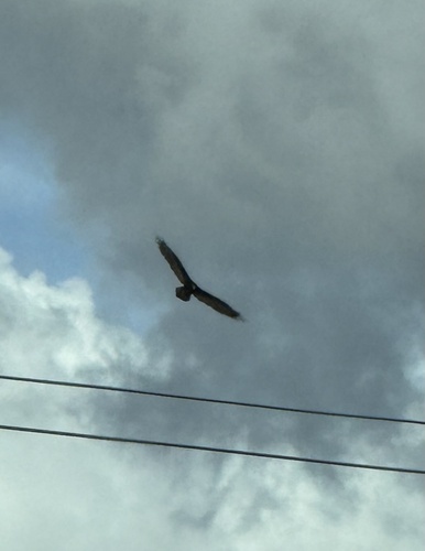
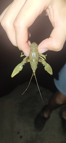
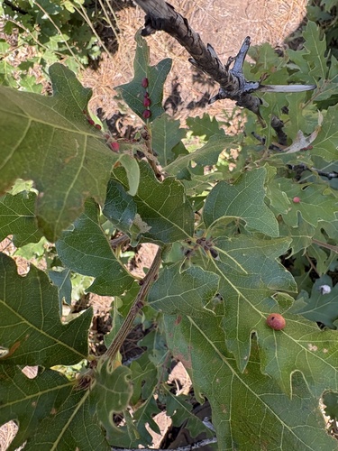
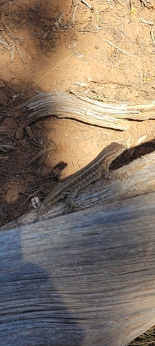


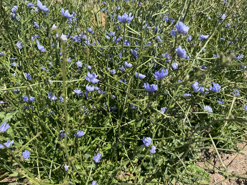
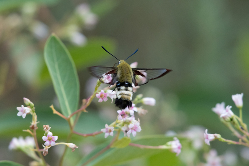
Research-grade observations from iNaturalist (within ~15 mi).
Nearest stream gauge
Events
Gallery
Sources
- • Wikipedia
- • US Census Bureau (ACS 5-year estimates)
- • NOAA National Weather Service
- • Wikidata
- • NCES via Urban Institute Education Data Portal
- • iNaturalist
- • CDC PLACES
- • Open-Meteo / sunrise-sunset.org
- • Wikipedia Pageviews API
- • Open Library
- • NASA EONET