Browse / Colombia / Magdalena / El Piñón
El Piñón
Magdalenatown

El Piñón
Total population
22,530
Air quality index
Demographic figures from DANE. Overview below cites Wikipedia and may reference a different year.
City facts
Facts from Wikidata (CC0).
Overview
El Piñón is a town and municipality of the Colombian Department of Magdalena. Officially founded in 1760 by Francisco Sayas, Ignacio Crespo, Vicente De la Hoz and others. On April 20, 1915 was proclaimed a municipality. Its economy is based on agriculture and farming. Its main tourist attractions are the Iglesia San Pedro Mártir and the Ave Maria Monument. The town celebrates carnivals, the Saint Peter of Verona Day in April, El Milagroso in September, the Unedited Song Festival and the Decimates Festival.
Read more on WikipediaHistory & geography
Geography
Coordinates & boundaries from the US Census TIGER/Line shapefiles.
Climate
10-year averages from ERA5 reanalysis (Open-Meteo).
Air quality
Current readings from Open-Meteo Air Quality API (Copernicus CAMS European reanalysis).
Walkability
Amenities nearby
Wildlife & biodiversity
Most-observed species
- White-tipped DoveLeptotila verreauxi Bonaparte, 1855 · Aves129
- Chestnut-winged ChachalacaOrtalis garrula (Humboldt, 1805) · Aves78
- Trinidad EuphoniaEuphonia trinitatis Strickland, 1851 · Aves69
- Ruddy Ground-DoveColumbina talpacoti (Temminck, 1810) · Aves69
- Orange-chinned ParakeetBrotogeris jugularis (Statius Muller, 1776) · Aves67
- Black-crested AntshrikeSakesphorus canadensis (Linnaeus, 1766) · Aves55
- Black-chested JayCyanocorax affinis Pelzeln, 1856 · Aves54
- Crested OropendolaPsarocolius decumanus (Pallas, 1769) · Aves50
Citizen-science & research observations from the Global Biodiversity Information Facility (GBIF).
Earthquake history
Most recent
- M 4.2 — 2025-02-2015 km NNE of Nueva Granada, Colombia
- M 4.5 — 2019-03-061 km N of Barranquilla, Colombia
- M 4.5 — 2017-09-238 km E of Plato, Colombia
- M 4.4 — 2012-10-2012 km SE of Ciénaga, Colombia
- M 4.3 — 2011-08-088 km NNW of Ariguaní, Colombia
- M 4.4 — 2009-10-0116 km ENE of Sitionuevo, Colombia
Events from the USGS Earthquake Catalog (global) (FDSN Event Web Service).
Photos
Sights & places nearby
Notable people from here

People born within ~10 km, from Wikidata (CC0). Click any name for their Wikipedia article.
Nearby places in Magdalena
- Cantagallar4.2 mi away
- Jesús del Monte5.7 mi away
- Cerro de San Antonio6.1 mi away · pop. 9,890
- Salamina6.3 mi away · pop. 10,733
- Los Patos6.8 mi away
- Concepción (Coco)7.3 mi away
- Tiogollo7.5 mi away
- Sabanas8.3 mi away
- Candelaria (Caimán)8.4 mi away
- Campo Alegre8.8 mi away
- Bellavista (Moya)9.1 mi away
- Concordia10.1 mi away · pop. 10,505
Geography & sun
Elevation, sunrise/sunset and daylight from Open-Meteo. Solar climatology from NASA POWER.
Nearby airports
Public attention
Pageview totals from the Wikimedia Pageviews API.
Books about El Piñón
Search results from Open Library.
Recent natural events nearby
Ground air-quality sensors
Recently spotted species
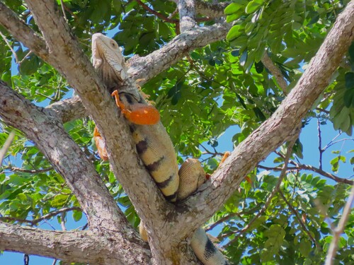
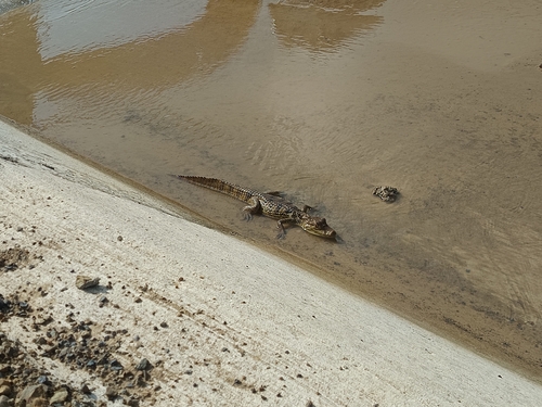

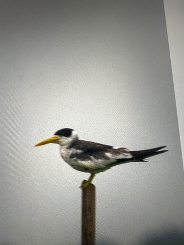

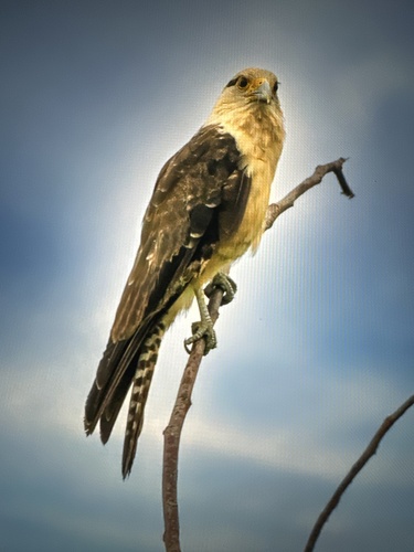


Research-grade observations from iNaturalist (within ~15 mi).
Events
Gallery
Official Identifiers
DANE — Departamento Administrativo Nacional de Estadística
- DANE / DIVIPOLA
- 47258
- Population (Wikidata)
- 17,308
- Wikidata
- Q614970
DANE code via Wikidata P7325
Sources
- • Wikipedia
- • Open-Meteo (ERA5 reanalysis)
- • Wikidata
- • Open-Meteo Air Quality (CAMS)
- • USGS Earthquake Catalog (global feed)
- • GBIF (Global Biodiversity Information Facility)
- • iNaturalist
- • Open-Elevation
- • Open-Meteo / sunrise-sunset.org
- • Wikipedia Pageviews API
- • Open Library
- • Wikidata SPARQL (CC0) — population, area, elevation, inception, head of government, Commons image
- • DANE — Departamento Administrativo Nacional de Estadística — DANE code via Wikidata P7325