Browse / United States / Colorado / Erie
Erie
Coloradotown

Erie
Total population
33,808
Median home value
$736,500
Bachelor's+
Median income
$173,349
Demographic figures from US Census Bureau · ACS 5-year estimates. Overview below cites Wikipedia and may reference a different year.
- Freeze Warning · SevereFreeze Warning issued October 15 at 9:50AM MDT until October 16 at 9:00AM MDT by NWS Denver CO
Source: NOAA National Weather Service.
City facts
Facts from Wikidata (CC0).
Overview
The Town of Erie is a home rule town located in Weld and Boulder counties, Colorado, United States. The town population was 30,038 at the 2020 United States census, a +65.64% increase since the 2010 United States census. At the 2020 census, 17,387 (58%) Erie residents lived in Weld County and 12,651 (42%) lived in Boulder County. Erie is a part of the Denver-Aurora-Greeley, CO Combined Statistical Area and the Front Range Urban Corridor. Erie is the most populous statutory town in Colorado.
Read more on WikipediaHistory & geography
History
In the mid-1860s, coal was discovered in southwestern corner of Weld County in the Territory of Colorado. Erie was originally settled in 1867 and named after Erie, Pennsylvania, the former home of early settler Richard Van Valkenburg. In 1870, railway service was established by the Denver-Pacific Spur Railroad, and in 1871, the Denver & Boulder Valley Railroad was built through the area, connecting Boulder and Brighton. and the Town of Erie was incorporated on November 16, 1874. The first school was established in 1874, with 33 students enrolling. Erie was unique among local coal mining towns because the local coal miners actually owned land or houses in town, instead of setting up temporary camps. Thus it became the greatest coal mining town in Colorado. The first school building was erected in 1881, with 100 students enrolled. In 1907, the school was replaced by the larger brick Lincoln School, which soon became inadequate due to the town's growth, and four new rooms had to be added in 1920. The over crowding was alleviated in 1929, with the construction of the new high school. Eventually, the Lincoln School was abandoned all together, and a new elementary school was constructed in 1966. The first church was established in 1883, the Welsh Presbyterian Church, with services conducted in Welsh. By 1888, there was a United Methodist Church and in 1898, the St. Scholasticas Catholic Church was dedicated. In 1884, the first newspaper was founded by Charles D. Bell; called the Erie-Canfield Independent, it continued publishing until 1896. The Erie Herald was established in 1907 and published for far longer than other short lived newspapers, serving the community until 1948. Erie was one of the only "wet" towns in the area and by 1895, boasted eleven saloons on Briggs…
Geography
Erie is located in the southwest corner of Weld County and extends west into eastern Boulder County. It is bordered to the south by the city of Broomfield and to the southwest by the city of Lafayette. Interstate 25 forms part of the eastern border of the town, leading south to downtown Denver and north to Fort Collins. Erie is served by Exit 232 off I-25. At the 2020 United States census, the town had a total area of including of water. }}
Excerpted from the corresponding Wikipedia article (CC BY-SA).
Demographics & economy
Race & ethnicity
Source: US Census Bureau — American Community Survey, 5-year estimates.
Geography
Coordinates & boundaries from the US Census TIGER/Line shapefiles.
Climate
Current forecast
Forecast for Erie, CO from NOAA NWS API.
Air quality
Industrial & pollution facilities
Natural hazard risk
Health (adults)
Age-adjusted prevalence estimates from CDC PLACES (latest release).
Walkability
Amenities nearby
Wildlife & biodiversity
Most-observed species
- House FinchHaemorhous mexicanus (P.L.Statius Müller, 1776) · Aves57,538
- Red-winged BlackbirdAgelaius phoeniceus (Linnaeus, 1766) · Aves56,375
- MallardAnas platyrhynchos Linnaeus, 1758 · Aves51,428
- Canada Goose (canadensis Group)Branta canadensis (Linnaeus, 1758) · Aves51,363
- American RobinTurdus migratorius Linnaeus, 1766 · Aves49,103
- Black-capped ChickadeePoecile atricapillus (Linnaeus, 1766) · Aves48,849
- Northern FlickerColaptes auratus (Linnaeus, 1758) · Aves45,816
- Blue JayCyanocitta cristata (Linnaeus, 1758) · Aves44,646
Citizen-science & research observations from the Global Biodiversity Information Facility (GBIF).
Schools
Earthquake history
Most recent
- M 2.7 — 2025-06-137 km SE of Erie, Colorado
- M 2.5 — 2020-10-242 km ESE of Georgetown, Colorado
- M 2.9 — 2019-03-307 km NE of Greeley, Colorado
- M 3 — 2016-11-068 km ENE of Greeley, Colorado
- M 2.7 — 2016-11-068 km ENE of Greeley, Colorado
- M 2.6 — 2016-08-232 km SSE of Eaton, Colorado
Events from the USGS Earthquake Catalog (global) (FDSN Event Web Service).
Photos
Sights & places nearby
Notable people from here


People born within ~10 km, from Wikidata (CC0). Click any name for their Wikipedia article.
Geography & sun
Elevation, sunrise/sunset and daylight from Open-Meteo. Solar climatology from NASA POWER.
Nearby airports
Public attention
Pageview totals from the Wikimedia Pageviews API.
Books about Erie
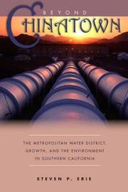
Search results from Open Library.
Recent natural events nearby
Ground air-quality sensors
Recently spotted species
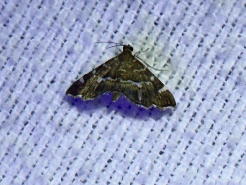
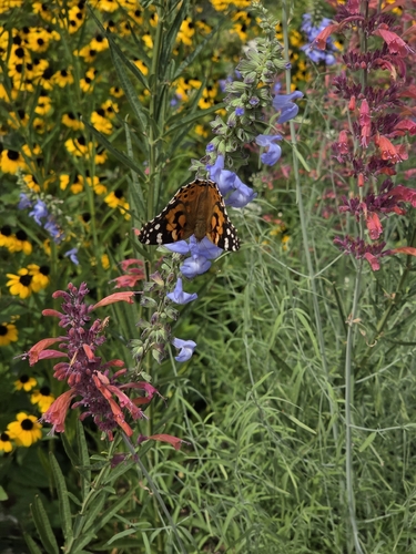
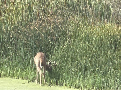
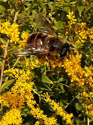
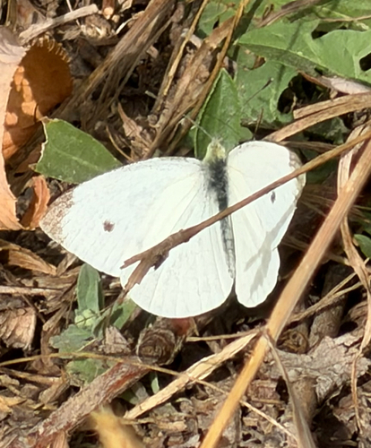
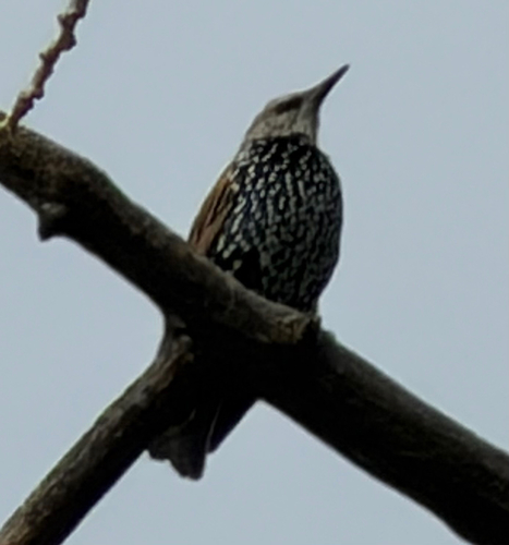
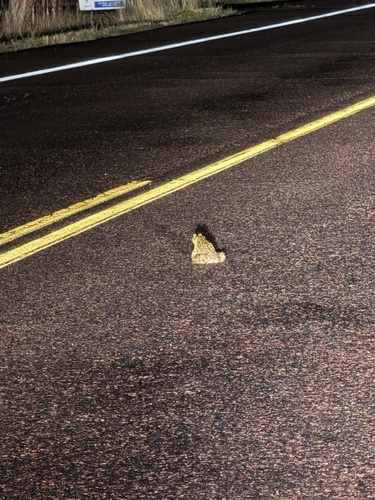
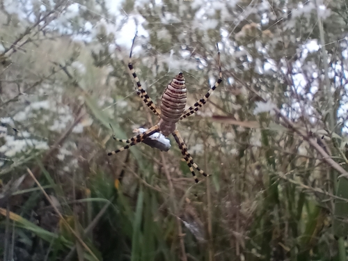
Research-grade observations from iNaturalist (within ~15 mi).
Nearest stream gauge
Events
Gallery
Sources
- • Wikipedia
- • US Census Bureau (ACS 5-year estimates)
- • NOAA National Weather Service
- • Wikidata
- • USGS Earthquake Catalog (global feed)
- • GBIF (Global Biodiversity Information Facility)
- • iNaturalist
- • CDC PLACES
- • Open-Meteo / sunrise-sunset.org
- • Wikipedia Pageviews API
- • Open Library