Browse / United States / Colorado / Fort Collins
Fort Collins
Coloradocity

Fort Collins
Total population
170,229
Median home value
$577,900
Bachelor's+
Median income
$85,070
Founded
1864
Demographic figures from US Census Bureau · ACS 5-year estimates. Overview below cites Wikipedia and may reference a different year.
- Freeze Warning · SevereFreeze Warning issued October 15 at 9:50AM MDT until October 16 at 9:00AM MDT by NWS Denver CO
Source: NOAA National Weather Service.
City facts
Sister cities
Facts from Wikidata (CC0).
Overview
Fort Collins is a home rule city in Larimer County, Colorado, United States, and serves as the county seat and most populous municipality of the county. It is the fourth-most populous city in Colorado with a population of 169,810 in the 2020 census, while the Fort Collins, CO Metropolitan Statistical Area has an estimated 375,000 residents.
Read more on WikipediaHistory & geography
History
The Northern Arapaho were centered in the Cache la Poudre River Valley near present-day Fort Collins. Friday, who attended school in St. Louis, Missouri in his youth, was a leader of the band of Arapahos as well as an interpreter, negotiator, and peacemaker. He made friends of white settlers who moved into the area, but was pushed out of Colorado in the 1860s. Fort Collins was founded as a military outpost of the United States Army in 1864. It succeeded a previous encampment, known as Camp Collins, on the Cache la Poudre River, near what is known today as Laporte. Camp Collins was erected during the Indian wars of the mid-1860s to protect the Overland mail route that had been recently relocated through the region. Travelers crossing the county on the Overland Trail would camp there, but a flood destroyed the camp in June 1864. Afterward, the commander of the fort wrote to the commandant of Fort Laramie in southeast Wyoming, Colonel William O. Collins, suggesting that a site several miles farther down the river would make a good location for the fort. The post was manned originally by two companies of the 11th Ohio Volunteer Cavalry and never had walls. Settlers began arriving in the vicinity of the fort nearly immediately. The fort was decommissioned in 1867. The original fort site is now adjacent to the present historic "Old Town" portion of the city. The first school and church opened in 1866, and the town was platted in 1867. The civilian population of Fort Collins, led by local businessman Joseph Mason, led an effort to relocate the county seat to Fort Collins from LaPorte, and they were successful in 1868. The city's first population boom came in 1872, with the establishment of an agricultural colony. Hundreds of settlers arrived, developing lots just south of…
Geography
Fort Collins is situated at the base of the Rocky Mountain foothills of the northern Front Range, approximately north of Denver, Colorado, and south of Cheyenne, Wyoming. Elevation is above sea level. Geographic landmarks include Horsetooth Reservoir and Horsetooth Mountain—so named because of a tooth-shaped granite rock that dominates the city's western skyline. Longs Peak can also clearly be seen on a clear day to the southwest of the city. The Cache La Poudre River and Spring Creek run through Fort Collins. At the 2020 United States census, the town had a total area of including of water. |source 2 = National Weather Service }}
Excerpted from the corresponding Wikipedia article (CC BY-SA).
Demographics & economy
Race & ethnicity
Source: US Census Bureau — American Community Survey, 5-year estimates.
Geography
Coordinates & boundaries from the US Census TIGER/Line shapefiles.
Climate
Current forecast
Forecast for Fort Collins, CO from NOAA NWS API.
Air quality
Industrial & pollution facilities
Natural hazard risk
Health (adults)
Age-adjusted prevalence estimates from CDC PLACES (latest release).
Walkability
Amenities nearby
Wildlife & biodiversity
Most-observed species
- House FinchHaemorhous mexicanus (P.L.Statius Müller, 1776) · Aves40,476
- Black-capped ChickadeePoecile atricapillus (Linnaeus, 1766) · Aves39,935
- American RobinTurdus migratorius Linnaeus, 1766 · Aves39,034
- Canada Goose (canadensis Group)Branta canadensis (Linnaeus, 1758) · Aves36,111
- Northern FlickerColaptes auratus (Linnaeus, 1758) · Aves35,994
- MallardAnas platyrhynchos Linnaeus, 1758 · Aves35,820
- Blue JayCyanocitta cristata (Linnaeus, 1758) · Aves32,901
- Red-winged BlackbirdAgelaius phoeniceus (Linnaeus, 1766) · Aves31,634
Citizen-science & research observations from the Global Biodiversity Information Facility (GBIF).
Schools
Largest nearby schools
- Rocky Mountain High SchoolHigh · FORT COLLINS · 2,069 students · 19.9:1 ratio
- Fossil Ridge High SchoolHigh · FORT COLLINS · 2,053 students · 20.5:1 ratio
- Fort Collins High SchoolHigh · FORT COLLINS · 1,903 students · 17.1:1 ratio
- Poudre High SchoolHigh · FORT COLLINS · 1,663 students · 18.1:1 ratio
- Loveland High SchoolHigh · LOVELAND · 1,525 students · 20.9:1 ratio
- Liberty Common Charter SchoolOther · FORT COLLINS · 1,359 students · 18.6:1 ratio
- Colorado Early Colleges Fort CollinsHigh · FORT COLLINS · 1,036 students · 19.2:1 ratio
- Kinard Core Knowledge Middle SchoolMiddle · FORT COLLINS · 748 students · 18.7:1 ratio
Public K–12 schools within ~10 mi from Urban Institute Education Data Portal (NCES Common Core of Data, 2022).
Earthquake history
Most recent
- M 2.7 — 2025-06-137 km SE of Erie, Colorado
- M 2.9 — 2019-03-307 km NE of Greeley, Colorado
- M 3 — 2016-11-068 km ENE of Greeley, Colorado
- M 2.7 — 2016-11-068 km ENE of Greeley, Colorado
- M 2.6 — 2016-08-232 km SSE of Eaton, Colorado
- M 2.5 — 2014-06-236 km NNE of Kersey, Colorado
Events from the USGS Earthquake Catalog (global) (FDSN Event Web Service).
Photos
Sights & places nearby
Notable people from here


People born within ~10 km, from Wikidata (CC0). Click any name for their Wikipedia article.
Nearby places in Colorado
- Timnath5.4 mi away · pop. 8,941
- Laporte7.4 mi away · pop. 1,771
- Loveland9.1 mi away · pop. 76,378
- Wellington11 mi away · pop. 11,798
- Ault17.3 mi away · pop. 2,425
- Greeley18 mi away · pop. 108,795
- Johnstown18.5 mi away · pop. 18,883
- Eaton18.5 mi away · pop. 5,867
- Milliken19.7 mi away · pop. 8,871
- Garden City22.4 mi away · pop. 401
- La Salle23.4 mi away · pop. 3,061
- Longmont26.2 mi away · pop. 100,764
Geography & sun
Elevation, sunrise/sunset and daylight from Open-Meteo. Solar climatology from NASA POWER.
Nearby airports
Public attention
Pageview totals from the Wikimedia Pageviews API.
Books about Fort Collins

Search results from Open Library.
Recent natural events nearby
- Hammer Wildfire, El Paso, ColoradoWildfires · 2026-04-22 · 132 mi
- South Fork Wildfire, Sioux, NebraskaWildfires · 2026-06-09 · 163 mi
- Ash Pole Wildfire, Dawes, NebraskaWildfires · 2026-05-14 · 172 mi
- Rochelle 2 Wildfire, Converse, WyomingWildfires · 2026-05-13 · 204 mi
- Tucker Wildfire, Hooker, NebraskaWildfires · 2026-04-26 · 216 mi
- Guide Wildfire, Oglala Lakota, South DakotaWildfires · 2026-05-02 · 218 mi
- Poitrey Canyon Wildfire, Las Animas, ColoradoWildfires · 2026-04-24 · 236 mi
- Pressey Wildfire, Cherry, NebraskaWildfires · 2026-04-22 · 240 mi
Wildfires, storms and other events from NASA EONET (last 12 months, within 250 mi).
Ground air-quality sensors
Recently spotted species
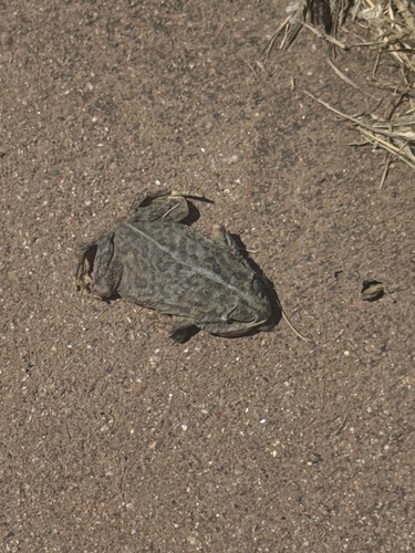
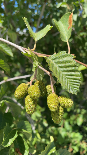
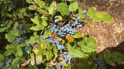
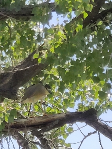
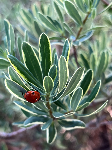
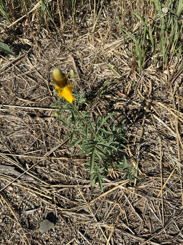
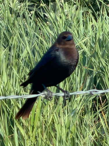
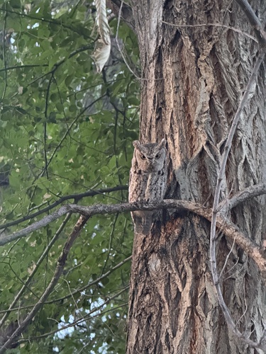
Research-grade observations from iNaturalist (within ~15 mi).
Nearest stream gauge
Live readings from USGS NWIS · measured 2026-06-27 17:15 UTC.
Events
Gallery
Geotagged photos within ~6 miles of Fort Collins, from Wikimedia Commons contributors.
.jpg) 0.2 mi
0.2 mi 0.7 mi
 0.7 mi
 0.7 mi
 0.7 mi
 1 mi
1 mi 1.1 mi
.jpg) 1.2 mi
1.2 mi.jpg) 1.2 mi
1.2 mi.jpg) 1.2 mi
1.2 mi.jpg) 1.2 mi
1.2 mi.jpg) 1.2 mi
1.2 mi.jpg) 1.2 mi
1.2 mi.jpg) 1.2 mi
1.2 mi.jpg) 1.2 mi
1.2 mi.jpg) 1.2 mi
1.2 mi 1.4 mi
 1.4 mi
 1.4 mi
 1.4 mi
 1.4 mi
 1.4 mi
 1.4 mi
 1.4 mi
Photos via Wikimedia Commons — see each image page for license & attribution.
Sources
- • Wikipedia
- • US Census Bureau (ACS 5-year estimates)
- • NOAA National Weather Service
- • Wikimedia Commons
- • Wikidata
- • USGS Earthquake Catalog (global feed)
- • USGS NWIS (water data)
- • NCES via Urban Institute Education Data Portal
- • GBIF (Global Biodiversity Information Facility)
- • iNaturalist
- • CDC PLACES
- • Open-Meteo / sunrise-sunset.org
- • Wikipedia Pageviews API
- • Open Library
- • NASA EONET