Browse / United States / Colorado / Fraser
Fraser
Coloradotown

Fraser
Total population
1,405
Median home value
$600,800
Bachelor's+
Median income
$89,980
Founded
1871
Demographic figures from US Census Bureau · ACS 5-year estimates. Overview below cites Wikipedia and may reference a different year.
City facts
Facts from Wikidata (CC0).
Overview
The Town of Fraser is a Statutory Town located in Grand County, Colorado, United States. The town population was 1,400 at the 2020 United States census, a +14.38% increase since the 2010 United States census. The town is situated in Middle Park in the valley of the Fraser River along U.S. Highway 40. Its location northwest of Winter Park, the location of a popular ski resort, has provided growth in recent years with new condominium and other real estate developments.
Read more on WikipediaHistory & geography
History
Fraser was incorporated in 1953. A post office called Fraser has been in operation since 1876. The town derives its name from Reuben Frazer, a pioneer settler.
Geography
Fraser is located in southeastern Grand County. It is bordered to the south by the town of Winter Park and to the north by unincorporated Tabernash. U.S. Route 40 leads south and east across Berthoud Pass to Denver, and northwest to Granby, the largest town in Grand County. At the 2020 United States census, the town had a total area of including of water. According to the Köppen climate classification system, Fraser has a subarctic climate, abbreviated Dfc on climate maps or Eolo in the Trewartha climate classification. The hottest temperature recorded in Fraser is on July 10, 1939, and the coldest on January 10, 1962. The wettest calendar year has been 1957 with and the driest 1944 with , whilst the most precipitation in one month has been in September 1961. Snowfall is naturally heavy at and has ranged up to in February 1936 and from July 1926 to June 1927. A freeze has been recorded for every single date of the year, one of the only locations in the entire United States to hold that record. | source 2 = National Weather Service | source = }} Fraser, Colorado has been in a dispute with International Falls, Minnesota since 1956 over use of the trademark "Icebox of the Nation." After several years of legal battles, the United States Patent and Trademark Office officially registered the slogan with International Falls on January 29, 2008.
Excerpted from the corresponding Wikipedia article (CC BY-SA).
Demographics & economy
Race & ethnicity
Source: US Census Bureau — American Community Survey, 5-year estimates.
Geography
Coordinates & boundaries from the US Census TIGER/Line shapefiles.
Climate
Current forecast
Forecast for Fraser, CO from NOAA NWS API.
Air quality
Industrial & pollution facilities
Natural hazard risk
Health (adults)
Age-adjusted prevalence estimates from CDC PLACES (latest release).
Walkability
Amenities nearby
Wildlife & biodiversity
Most-observed species
- Mountain ChickadeePoecile gambeli (Ridgway, 1886) · Aves3,514
- American CrowCorvus brachyrhynchos C.L.Brehm, 1822 · Aves2,690
- Dark-eyed JuncoJunco hyemalis (Linnaeus, 1758) · Aves2,226
- American RobinTurdus migratorius Linnaeus, 1766 · Aves2,173
- Broad-tailed HummingbirdSelasphorus platycercus (Swainson, 1827) · Aves2,024
- Steller's JayCyanocitta stelleri (Gmelin, 1788) · Aves1,836
- White-crowned SparrowZonotrichia leucophrys (J.R.Forster, 1772) · Aves1,819
- Common RavenCorvus corax Linnaeus, 1758 · Aves1,816
Citizen-science & research observations from the Global Biodiversity Information Facility (GBIF).
Schools
Largest nearby schools
- Fraser Valley Elementary SchoolElementary · FRASER · 256 students · 12.2:1 ratio
Public K–12 schools within ~10 mi from Urban Institute Education Data Portal (NCES Common Core of Data, 2022).
Earthquake history
Most recent
- M 2.7 — 2025-11-3015 km SSW of Walden, Colorado
- M 2.7 — 2025-06-137 km SE of Erie, Colorado
- M 2.5 — 2020-10-242 km ESE of Georgetown, Colorado
- M 2.6 — 2018-07-0317 km SW of Walden, Colorado
- M 2.7 — 2018-06-2116 km SSW of Walden, Colorado
- M 2.7 — 2011-08-1211 km WNW of McCoy, Colorado
Events from the USGS Earthquake Catalog (global) (FDSN Event Web Service).
Photos
Sights & places nearby
Notable people from here

People born within ~10 km, from Wikidata (CC0). Click any name for their Wikipedia article.
Nearby places in Colorado
- Tabernash4.3 mi away
- St. Mary's11.2 mi away
- Granby11.5 mi away
- Georgetown15.4 mi away
- Rollinsville15.5 mi away · pop. 264
- Nederland16.1 mi away · pop. 1,655
- Silver Plume16.3 mi away
- Bonanza Mountain Estates17.6 mi away
- Hot Sulphur Springs18.9 mi away
- Hidden Lake21.4 mi away
- Sugarloaf22.1 mi away
- Gold Hill22.5 mi away
Geography & sun
Elevation, sunrise/sunset and daylight from Open-Meteo. Solar climatology from NASA POWER.
Nearby airports
Public attention
Pageview totals from the Wikimedia Pageviews API.
Books about Fraser


Search results from Open Library.
Recent natural events nearby
- Wildfire 310, Garfield, ColoradoWildfires · 2026-08-06 · 120 mi
- Wildfire Moonshine, Albany, WyomingWildfires · 2026-09-07 · 143 mi
- Wildfire Swiss Roll, Archuleta, ColoradoWildfires · 2026-08-20 · 183 mi
- Wildfire Cold Springs, Converse, WyomingWildfires · 2026-08-10 · 194 mi
- Wildfire Rio Blanco, Archuleta, ColoradoWildfires · 2026-07-28 · 204 mi
- Wildfire Post, Las Animas, ColoradoWildfires · 2026-08-11 · 210 mi
- Wildfire Slough Canyon, Grand, UtahWildfires · 2026-08-15 · 222 mi
- Wildfire WEISER KNOLL, Fremont, WyomingWildfires · 2026-08-09 · 237 mi
Wildfires, storms and other events from NASA EONET (last 12 months, within 250 mi).
Ground air-quality sensors
Recently spotted species
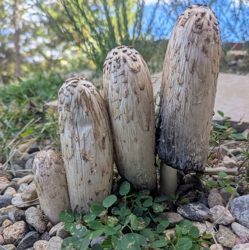
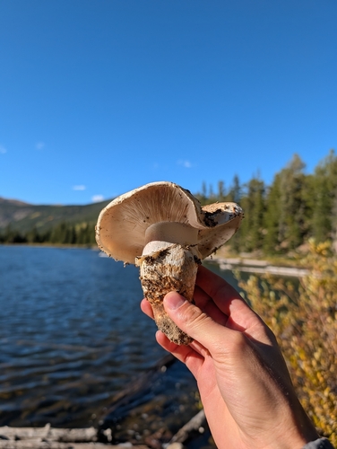
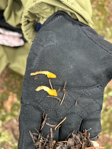
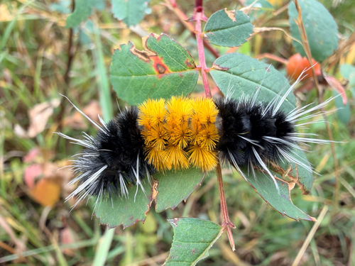
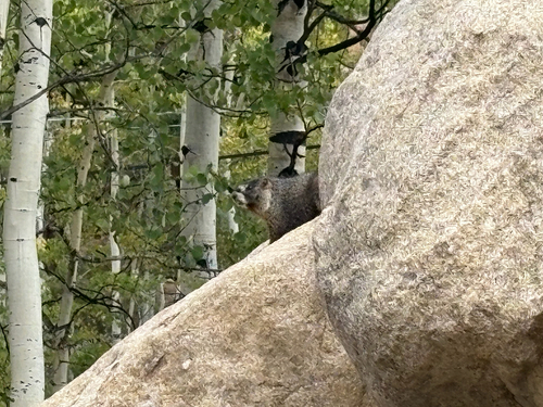
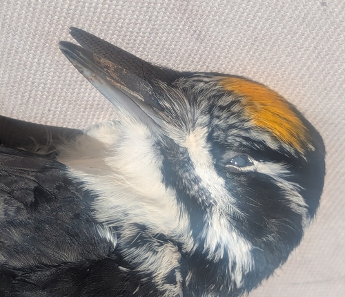
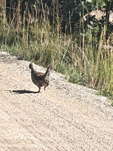
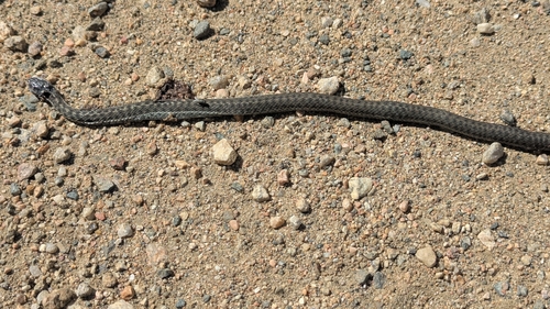
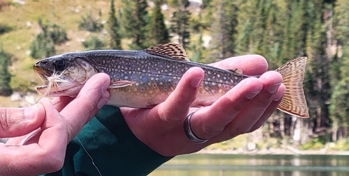
Research-grade observations from iNaturalist (within ~15 mi).
Nearest stream gauge
Events
Gallery
Sources
- • Wikipedia
- • US Census Bureau (ACS 5-year estimates)
- • NOAA National Weather Service
- • Wikidata
- • USGS Earthquake Catalog (global feed)
- • NCES via Urban Institute Education Data Portal
- • GBIF (Global Biodiversity Information Facility)
- • iNaturalist
- • CDC PLACES
- • Open-Meteo / sunrise-sunset.org
- • Wikipedia Pageviews API
- • Open Library
- • NASA EONET