Browse / United States / Colorado / Glenwood Springs
Glenwood Springs
Coloradocity

Glenwood Springs
Total population
10,241
Median home value
$619,000
Bachelor's+
Median income
$91,481
Demographic figures from US Census Bureau · ACS 5-year estimates. Overview below cites Wikipedia and may reference a different year.
City facts
Facts from Wikidata (CC0).
Overview
Glenwood Springs is a home rule municipality and the county seat of Garfield County, Colorado, United States. According to the 2020 United States census, the city has a population of 9,963. It is located at the confluence of the Roaring Fork River and the Colorado River, connecting the Roaring Fork Valley and a series of smaller towns on the Colorado River.
Read more on WikipediaHistory & geography
History
For thousands of years, the area now known as Glenwood Springs has been inhabited by Indigenous people. states that the Yampa or White River bands used the area, which is now in the Ute ancestral jurisdiction. The Utes were nomadic hunter-gatherers who seasonally used the natural hot springs in the area. The U.S. government surveyed the land in the mid-19th century, although they had no claim on the land. An 1868 treaty negotiated by the Tabeguache Ute Chief Ouray preserved the hunting grounds in the area of present-day Glenwood Springs. Glenwood Springs was originally known as "Defiance" because its original white settlers squatted on the Ute Indian Reservation. Defiance was a camp of tents, saloons, and brothels. The Denver & Rio Grande, then a narrow-gauge railway arrived from the east in 1881, en route to Grand Junction. Garfield County was created on February 10, 1883, with Carbonate as the county seat. The mining town of Carbonate was located high in the remote Flat Tops mountains. Isaac Cooper platted a legal settlement named Barlow at the confluence of the Roaring Fork River and the Grand River where Defiance had been, and the Barlow, Colorado, post office opened on June 25, 1883. Garfield County voters moved the county seat to the much more accessible Barlow later that year. Isaac Cooper's wife Sarah had a hard time adjusting to the frontier life and, in an attempt to make her environment somewhat more comfortable, persuaded the founders to change the name of Barlow to Glenwood Springs, after her hometown of Glenwood, Iowa. The Barlow post office was renamed Glenwood Springs, Colorado, on March 28, 1884, who spent a summer vacation living in the historic Hotel Colorado. Doc Holliday, who was known for the O.K. Corral gunfight, spent the final months of…
Geography
Glenwood Springs is located in the narrow mountain valleys that host the confluence of the Colorado River and the Roaring Fork River. The surrounding terrain is steeply contoured on all sides, containing several caves. The geology of the area includes geothermal activity, such as the local hot springs, but it is also evidenced through other features such as the Dotsero maar. Occasional proposals to leverage the geothermal energy for other purposes arise. Glenwood Springs has experienced several mudslides throughout its history, a threat mitigated somewhat by public works. Glenwood Springs is considered a walkable town by PBS and Walking Magazine, included in the Walking Town Hall of Fame. Though the town's geography makes it a natural environment for pedestrians and cyclists, there are also trails running throughout and around the city that resulted from planning efforts that began in the 1980s in response to congestion and traffic. Due to civic planning during the early years of the city, Glenwood Springs owns some senior water rights to tributaries of the Colorado River. Glenwood Springs water supply is sufficient for its population, unlike some areas of the American West, conservation plans have been enacted anyway for largely environmental reasons. The town's drinking water is supplied primarily through senior rights to major watersheds in the Flat Tops Wilderness Area, and the tap water is generally of safe quality. Mineral deposits exist further up the Crystal River and in the Roaring Fork area, and petroleum resources are ample in western Garfield County, which brings tax revenue to Glenwood Springs. However, the town itself lies outside of the Colorado Mineral Belt, and there are no mineral or oil and gas sources near Glenwood Springs proper or its…
Excerpted from the corresponding Wikipedia article (CC BY-SA).
Demographics & economy
Race & ethnicity
Source: US Census Bureau — American Community Survey, 5-year estimates.
Geography
Coordinates & boundaries from the US Census TIGER/Line shapefiles.
Climate
Current forecast
Forecast for Glenwood Springs, CO from NOAA NWS API.
Air quality
Industrial & pollution facilities
Natural hazard risk
Health (adults)
Age-adjusted prevalence estimates from CDC PLACES (latest release).
Walkability
Amenities nearby
Wildlife & biodiversity
Schools
Largest nearby schools
- Glenwood Springs High SchoolHigh · GLENWOOD SPRINGS · 1,002 students · 19.3:1 ratio
- Glenwood Springs Elementary SchoolElementary · GLENWOOD SPRINGS · 437 students · 11.8:1 ratio
- Glenwood Springs Middle SchoolMiddle · GLENWOOD SPRINGS · 408 students · 14.6:1 ratio
- Riverview SchoolElementary · GLENWOOD SPRINGS · 387 students · 13.3:1 ratio
- Sopris Elementary SchoolElementary · GLENWOOD SPRINGS · 342 students · 14.9:1 ratio
- Yampah Mountain SchoolHigh · GLENWOOD SPRINGS · 169 students · 16.9:1 ratio
- The Yampah Mountain High School NurseryOther · GLENWOOD SPRINGS
Public K–12 schools within ~10 mi from Urban Institute Education Data Portal (NCES Common Core of Data, 2022).
Earthquake history
Photos
Sights & places nearby
Notable people from here
Nearby places in Colorado
Geography & sun
Nearby airports
Public attention
Books about this place
Recent natural events nearby
- Wildfire 310, Garfield, ColoradoWildfires · 2026-08-06 · 35 mi
- Wildfire Slough Canyon, Grand, UtahWildfires · 2026-08-15 · 138 mi
- Wildfire Swiss Roll, Archuleta, ColoradoWildfires · 2026-08-20 · 152 mi
- Wildfire Rio Blanco, Archuleta, ColoradoWildfires · 2026-07-28 · 168 mi
- Wildfire Moonshine, Albany, WyomingWildfires · 2026-09-07 · 197 mi
- Wildfire Black Canyon, Sanpete, UtahWildfires · 2026-07-30 · 212 mi
- Wildfire WEISER KNOLL, Fremont, WyomingWildfires · 2026-08-09 · 223 mi
- Wildfire Post, Las Animas, ColoradoWildfires · 2026-08-11 · 233 mi
Wildfires, storms and other events from NASA EONET (last 12 months, within 250 mi).
Ground air-quality sensors
Recently spotted species
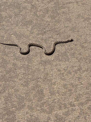
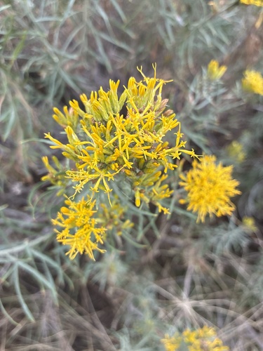
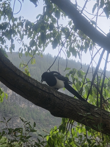
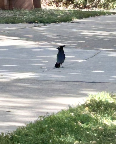
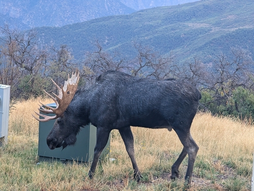
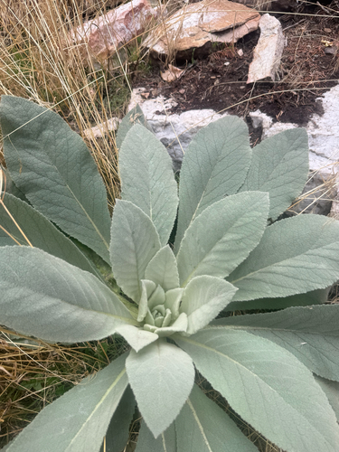
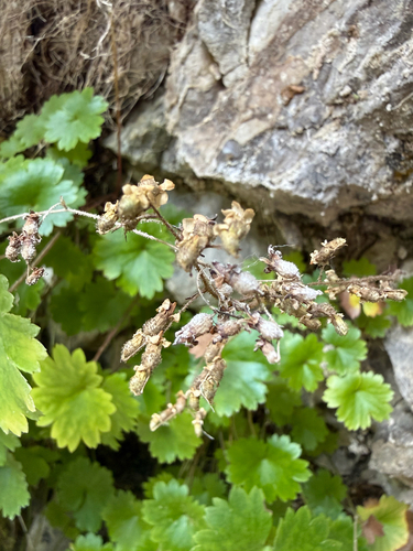
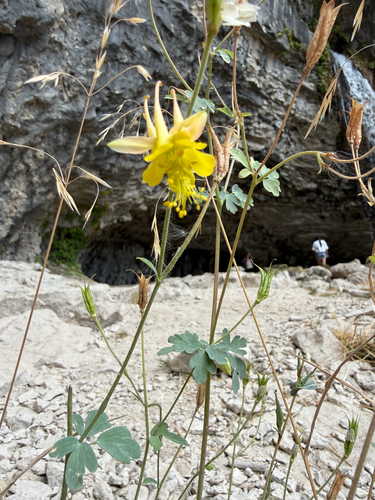
Research-grade observations from iNaturalist (within ~15 mi).
Nearest stream gauge
Events
Gallery
Sources
- • Wikipedia
- • US Census Bureau (ACS 5-year estimates)
- • NOAA National Weather Service
- • Wikidata
- • NCES via Urban Institute Education Data Portal
- • iNaturalist
- • CDC PLACES
- • NASA EONET