Browse / Colombia / Boyacá / Güicán
Güicán
Boyacátown

Güicán
Total population
4,279
Air quality index
Demographic figures from DANE. Overview below cites Wikipedia and may reference a different year.
City facts
Overview
Güicán de la Sierra, also known as Nuestra Señora de la Candelaria de Güicán, is a town and municipality in the Colombian Department of Boyacá. It is close to the national natural park El Cocuy National Park. As of the year 2020, it has a total population of 6,426.
History & geography
Geography
Coordinates & boundaries from the US Census TIGER/Line shapefiles.
Climate
Air quality
Current readings from Open-Meteo Air Quality API (Copernicus CAMS European reanalysis).
Walkability
Amenities nearby
Wildlife & biodiversity
Most-observed species
- Great ThrushTurdus fuscater Orbigny & Lafresnaye, 1837 · Aves163
- Rufous-collared SparrowZonotrichia capensis (P.L.S.Müller, 1776) · Aves156
- Southern House-WrenTroglodytes musculus J.F.Naumann, 1823 · Aves121
- Black VultureCoragyps atratus (Bechstein, 1793) · Aves118
- White-throated TyrannuletMecocerculus leucophrys (Orbigny & Lafresnaye, 1837) · Aves88
- Eastern MeadowlarkSturnella magna (Linnaeus, 1758) · Aves79
- Yellow-backed OrioleIcterus chrysater (Lesson, 1844) · Aves79
- Black-backed GrosbeakPheucticus aureoventris (d'Orbigny & Lafresnaye, 1837) · Aves65
Citizen-science & research observations from the Global Biodiversity Information Facility (GBIF).
Earthquake history
Most recent
- M 4.3 — 2026-05-237 km ESE of Cepitá, Colombia
- M 4.2 — 2026-04-263 km SSE of Cepitá, Colombia
- M 4.6 — 2026-04-188 km WNW of Cepitá, Colombia
- M 4.1 — 2026-04-176 km NNW of Aratoca, Colombia
- M 4.4 — 2026-04-1318 km E of Sácama, Colombia
- M 4.6 — 2026-04-126 km E of Chita, Colombia
Events from the USGS Earthquake Catalog (global) (FDSN Event Web Service).
Photos
Sights & places nearby
Notable people from here
Nearby places in Boyacá
- Panqueba3.5 mi away · pop. 1,717
- El Cocuy4.4 mi away · pop. 4,215
- El Espino5.9 mi away · pop. 3,061
- Guacamayas6.1 mi away · pop. 1,865
- Chiscas8.8 mi away · pop. 3,994
- Las Mercedes8.8 mi away
- San Mateo10.7 mi away · pop. 3,332
- La Uvita14.2 mi away · pop. 2,999
- Boavita14.9 mi away · pop. 5,059
- Chita19.4 mi away · pop. 8,045
- Tipacoque19.4 mi away · pop. 5,000
- Soatá20.4 mi away · pop. 9,066
Geography & sun
Elevation, sunrise/sunset and daylight from Open-Meteo. Solar climatology from NASA POWER.
Nearby airports
Public attention
Pageview totals from the Wikimedia Pageviews API.
Books about Güicán
Search results from Open Library.
Recent natural events nearby
Ground air-quality sensors
Recently spotted species
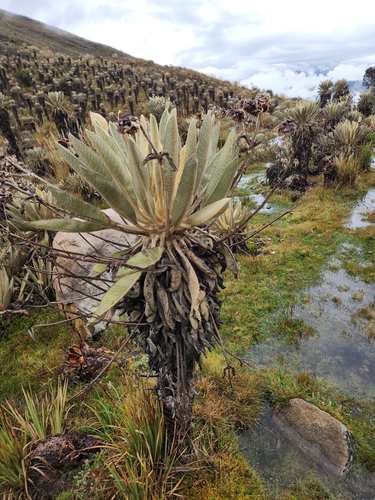
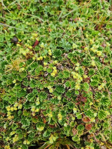
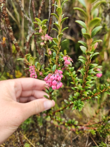
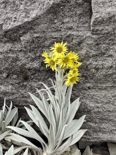
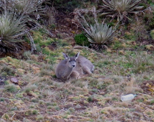
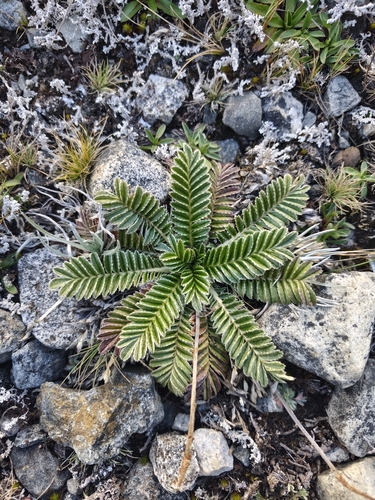
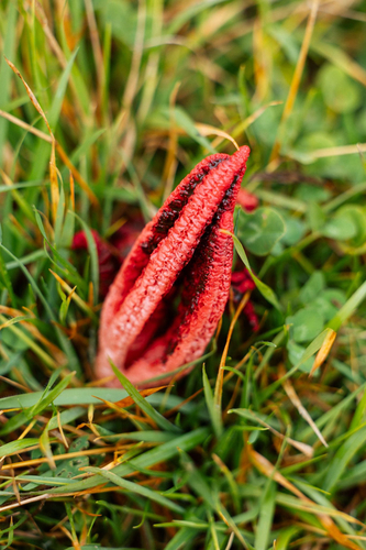
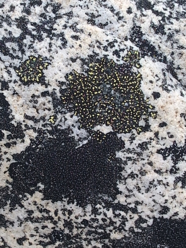
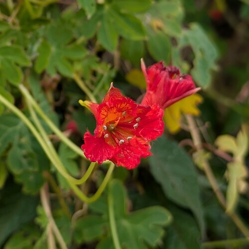
Research-grade observations from iNaturalist (within ~15 mi).
Events
Gallery
Geotagged photos within ~6 miles of Güicán, from Wikimedia Commons contributors.
 0 mi
0 mi 0 mi
0 mi 0 mi
0 mi 0 mi
0 mi 0 mi
0 mi 0.1 mi
 0.1 mi
 0.3 mi
 0.3 mi
 0.3 mi
 2 mi
2 mi 2 mi
2 mi 3.5 mi
 3.7 mi
 3.7 mi
 3.9 mi
 3.9 mi
 4 mi
4 mi 4 mi
4 mi 4.1 mi
 4.1 mi
 4.3 mi
 4.3 mi
 4.4 mi
Photos via Wikimedia Commons — see each image page for license & attribution.
Sources
- • Wikipedia
- • Wikimedia Commons
- • Open-Meteo Air Quality (CAMS)
- • USGS Earthquake Catalog (global feed)
- • GBIF (Global Biodiversity Information Facility)
- • iNaturalist
- • Open-Meteo / sunrise-sunset.org
- • Wikipedia Pageviews API
- • Open Library
- • Wikidata SPARQL (CC0) — population, area, elevation, inception, head of government, Commons image