Browse / United States / Colorado / Limon
Limon
Coloradotown

Limon
Total population
1,678
Median home value
$219,300
Bachelor's+
Median income
$65,776
Air quality index
Demographic figures from US Census Bureau · ACS 5-year estimates. Overview below cites Wikipedia and may reference a different year.
City facts
Facts from Wikidata (CC0).
Overview
Limon is a statutory town in Lincoln County, Colorado, United States. Its population was 2,043 at the 2020 United States census, the most populous municipality of the county. Limon lies at the intersection of Interstate 70, U.S. Highways 24, 40, 287, and Colorado Highway 71, leading it to be dubbed the "Hut City" of eastern Colorado.
Read more on WikipediaHistory & geography
History
Railroads were the major factor for Limon's original founding and location. The Kansas Pacific Railroad made its way across the plains from southern Kansas following the Smoky Hill Trail in 1870. In 1888, the Chicago, Rock Island, and Pacific Railroad (now the Kyle Railroad) made its way west to east from Colorado Springs, entering Lincoln County and intersecting the Kansas Pacific (now Union Pacific) at the present day location of Limon. This union of the two railroads was the earliest founding of the "Hub City". Limon was the site of a lynching on November 16, 1900. Preston Porter Jr., a fifteen-year-old African-American male, had confessed under duress to the murder of eleven-year-old Louise Frost who was Caucasian. Porter was apparently being held some 90 miles away in Denver, but was sent back to Limon by request of unspecified people and against the wishes of Sheriff Freeman. When the train carrying Porter stopped in Limon, sixteen men selected from a mob of 300 "marked by calmness and determination" took Porter from Freeman's custody despite the sheriff's protestations "in the name of law." Originally it was announced that Porter would be hanged but many in the crowd including R. W. Frost, the girl's father, objected "that such a death would be too easy." The method was left to Frost who decided upon burning at the stake. Frost also refused to allow mutilation of Porter's body before burning. While waiting for his execution, Porter sat next to a bonfire reading the Gospel of Luke from the Bible. Porter was chained to an iron railroad rail set in the ground on the exact spot where the murder had taken place and burned to death, the match to start the fire being set by the girl's father. Lynchings of this type were apparently rare, as reporters on the scene…
Geography
Although entirely in Lincoln County, Limon is located immediately east of the Elbert County line. It lies on the north side of Big Sandy Creek, a tributary of the Arkansas River, on the eastern edge of the Colorado Piedmont region of the Great Plains, and is near the eastern end of the Palmer Divide. Located in east-central Colorado at the junction of Interstate 70, U.S. Highway 287, U.S. Highway 40, U.S. Highway 24, and State Highway 71, Limon is far from any major city or town, being northeast of Colorado Springs and southeast of Denver. According to the United States Census Bureau, the town has a total area of , all land. Limon has a semi-arid steppe climate (Köppen BSk) with cold, dry winters and warm, mildly wetter summers. Due to its location on the eastern plains, the town is often subject to severe, sometimes violent thunderstorms throughout the summer. Large hail, damaging winds, heavy rain, and tornadoes are common in the summer months. The high temperature reaches or exceeds an average of 32.3 days a year and reaches or exceeds an average of 0.8 days a year. The minimum temperature falls below the freezing point an average of 195.9 days a year. |source 2 = NOAA (average snowfall/snowy days 1981–2010) }}
Excerpted from the corresponding Wikipedia article (CC BY-SA).
Demographics & economy
Race & ethnicity
Source: US Census Bureau — American Community Survey, 5-year estimates.
Geography
Coordinates & boundaries from the US Census TIGER/Line shapefiles.
Climate
Current forecast
Forecast for Limon, CO from NOAA NWS API.
Air quality
Current readings from Open-Meteo Air Quality API (Copernicus CAMS European reanalysis).
Industrial & pollution facilities
Natural hazard risk
Health (adults)
Age-adjusted prevalence estimates from CDC PLACES (latest release).
Walkability
Amenities nearby
Wildlife & biodiversity
Most-observed species
- Western MeadowlarkSturnella neglecta Audubon, 1844 · Aves797
- House SparrowPasser domesticus (Linnaeus, 1758) · Aves682
- Mourning DoveZenaida macroura (Linnaeus, 1758) · Aves595
- European StarlingSturnus vulgaris Linnaeus, 1758 · Aves554
- Great-tailed GrackleQuiscalus mexicanus (Gmelin, 1788) · Aves493
- Eurasian Collared-DoveStreptopelia decaocto (Frivaldszky, 1838) · Aves489
- Red-winged BlackbirdAgelaius phoeniceus (Linnaeus, 1766) · Aves471
- Horned LarkEremophila alpestris (Linnaeus, 1758) · Aves469
Citizen-science & research observations from the Global Biodiversity Information Facility (GBIF).
Schools
Largest nearby schools
- Limon Junior-Senior High SchoolHigh · LIMON · 242 students · 16.1:1 ratio
- Limon Elementary SchoolElementary · LIMON · 215 students · 13.4:1 ratio
Public K–12 schools within ~10 mi from Urban Institute Education Data Portal (NCES Common Core of Data, 2022).
Earthquake history
Most recent
- M 3 — 2025-10-1711 km NNE of Black Forest, Colorado
- M 2.5 — 2021-08-0723 km NE of Sugar City, Colorado
- M 3 — 2014-07-1523 km NNE of Haswell, Colorado
Events from the USGS Earthquake Catalog (global) (FDSN Event Web Service).
Photos
Sights & places nearby
Notable people from here
Nearby places in Colorado
Geography & sun
Elevation, sunrise/sunset and daylight from Open-Meteo. Solar climatology from NASA POWER.
Nearby airports
Public attention
Pageview totals from the Wikimedia Pageviews API.
Books about Limon


Search results from Open Library.
Recent natural events nearby
- Wildfire Sheep Pen, Las Animas, ColoradoWildfires · 2026-08-12 · 153 mi
- Wildfire Post, Las Animas, ColoradoWildfires · 2026-08-11 · 156 mi
- Wildfire Rabbit Ear East, Union, New MexicoWildfires · 2026-08-24 · 193 mi
- Wildfire LAUGHLIN, Colfax, New MexicoWildfires · 2026-08-25 · 194 mi
- Wildfire Moonshine, Albany, WyomingWildfires · 2026-09-07 · 205 mi
- Wildfire Swiss Roll, Archuleta, ColoradoWildfires · 2026-08-20 · 212 mi
- Wildfire 310, Garfield, ColoradoWildfires · 2026-08-06 · 230 mi
Wildfires, storms and other events from NASA EONET (last 12 months, within 250 mi).
Ground air-quality sensors
Recently spotted species
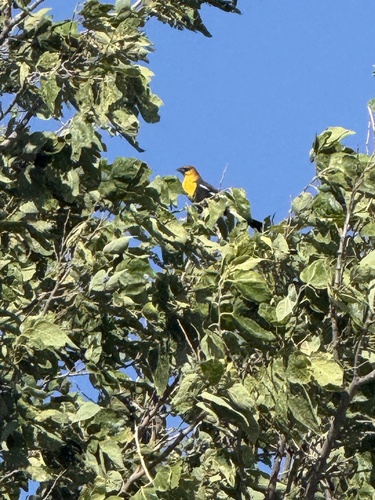
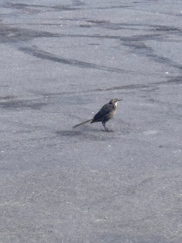
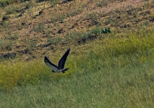
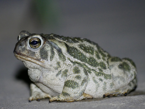

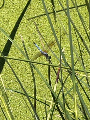
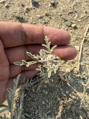
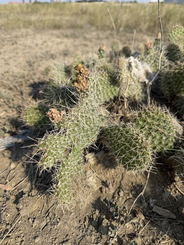
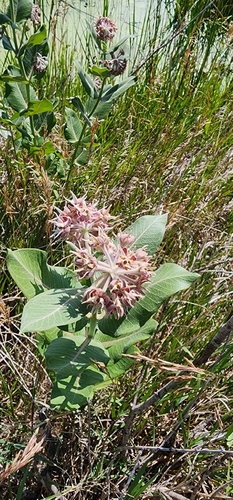
Research-grade observations from iNaturalist (within ~15 mi).
Nearest stream gauge
Events
Gallery
Sources
- • Wikipedia
- • US Census Bureau (ACS 5-year estimates)
- • NOAA National Weather Service
- • Wikidata
- • Open-Meteo Air Quality (CAMS)
- • USGS Earthquake Catalog (global feed)
- • NCES via Urban Institute Education Data Portal
- • GBIF (Global Biodiversity Information Facility)
- • iNaturalist
- • CDC PLACES
- • Open-Meteo / sunrise-sunset.org
- • Wikipedia Pageviews API
- • Open Library
- • NASA EONET