Browse / United States / Colorado / Log Lane Village
Log Lane Village
Coloradotown

Log Lane Village
Total population
964
Median home value
$149,200
Bachelor's+
Median income
$61,250
Air quality index
Demographic figures from US Census Bureau · ACS 5-year estimates. Overview below cites Wikipedia and may reference a different year.
City facts
Facts from Wikidata (CC0).
Overview
Log Lane Village is a statutory town in Morgan County, Colorado, United States. The population was 913 at the 2020 census.
Read more on WikipediaHistory & geography
History
Prior to settlement, the area around Log Lane Village was the traditional territory of the Arapaho and Cheyenne Native Americans. Settlement in the area began in the 19th century. The area around Log Lane Village and the adjacent Fort Morgan began to see greater growth following the construction of the Union Pacific Railroad. The town itself was established in 1956. Today it serves largely as a suburb for the larger Fort Morgan.
Geography
Log Lane Village is located in central Morgan County northwest of Fort Morgan, the county seat. The town is bordered to the northeast by the South Platte River and by Colorado State Highway 144 to the southwest. Interstate 76 passes just south of the town, with access to Highway 144 at Exit 79. I-76 leads southwest to Denver and northeast to Sterling. According to the United States Census Bureau, the town has a total area of , all of it land.
Excerpted from the corresponding Wikipedia article (CC BY-SA).
Demographics & economy
Race & ethnicity
Source: US Census Bureau — American Community Survey, 5-year estimates.
Geography
Coordinates & boundaries from the US Census TIGER/Line shapefiles.
Climate
Current forecast
Forecast for Log Lane Village, CO from NOAA NWS API.
Air quality
Current readings from Open-Meteo Air Quality API (Copernicus CAMS European reanalysis).
Industrial & pollution facilities
Natural hazard risk
Health (adults)
Age-adjusted prevalence estimates from CDC PLACES (latest release).
Walkability
Amenities nearby
Wildlife & biodiversity
Most-observed species
- Eurasian Collared-DoveStreptopelia decaocto (Frivaldszky, 1838) · Aves1,184
- American RobinTurdus migratorius Linnaeus, 1766 · Aves1,082
- European StarlingSturnus vulgaris Linnaeus, 1758 · Aves953
- Canada Goose (canadensis Group)Branta canadensis (Linnaeus, 1758) · Aves934
- House SparrowPasser domesticus (Linnaeus, 1758) · Aves824
- Blue JayCyanocitta cristata (Linnaeus, 1758) · Aves813
- Red-winged BlackbirdAgelaius phoeniceus (Linnaeus, 1766) · Aves741
- Red-tailed HawkButeo jamaicensis (Gmelin, 1788) · Aves666
Citizen-science & research observations from the Global Biodiversity Information Facility (GBIF).
Schools
Largest nearby schools
- Fort Morgan High SchoolHigh · FORT MORGAN · 905 students · 17.1:1 ratio
- Fort Morgan Middle SchoolMiddle · FORT MORGAN · 772 students · 16.1:1 ratio
- Sherman Early Childhood CenterElementary · FORT MORGAN · 461 students · 19.2:1 ratio
- Columbine Elementary SchoolElementary · FORT MORGAN · 393 students · 15.1:1 ratio
- Beaver Valley Elementary SchoolElementary · BRUSH · 301 students · 12.5:1 ratio
- Green Acres Elementary SchoolElementary · FORT MORGAN · 296 students · 14.8:1 ratio
- Baker Elementary SchoolElementary · FORT MORGAN · 293 students · 16.3:1 ratio
- Pioneer Elementary SchoolElementary · FORT MORGAN · 263 students · 14.6:1 ratio
Public K–12 schools within ~10 mi from Urban Institute Education Data Portal (NCES Common Core of Data, 2022).
Earthquake history
Most recent
- M 2.9 — 2019-03-307 km NE of Greeley, Colorado
- M 3 — 2016-11-068 km ENE of Greeley, Colorado
- M 2.7 — 2016-11-068 km ENE of Greeley, Colorado
- M 2.6 — 2016-08-232 km SSE of Eaton, Colorado
- M 2.5 — 2014-06-236 km NNE of Kersey, Colorado
- M 3.2 — 2014-06-019 km NNW of Kersey, Colorado
Events from the USGS Earthquake Catalog (global) (FDSN Event Web Service).
Photos
Sights & places nearby
Notable people from here

People born within ~10 km, from Wikidata (CC0). Click any name for their Wikipedia article.
Nearby places in Colorado
- Fort Morgan2.4 mi away · pop. 11,605
- Wiggins13.1 mi away · pop. 1,564
- Snyder13.2 mi away · pop. 51
- Merino29.1 mi away · pop. 286
- Atwood35 mi away · pop. 62
- Keenesburg39.6 mi away · pop. 2,347
- Sterling41.3 mi away · pop. 13,172
- Hudson42.2 mi away · pop. 2,006
- Peoria45.6 mi away · pop. 75
- Garden City46.1 mi away · pop. 401
- La Salle46.5 mi away · pop. 3,061
- Bennett48.4 mi away · pop. 3,663
Geography & sun
Elevation, sunrise/sunset and daylight from Open-Meteo. Solar climatology from NASA POWER.
Nearby airports
Public attention
Pageview totals from the Wikimedia Pageviews API.
Books about Log Lane Village
Search results from Open Library.
Recent natural events nearby
- Wildfire Moonshine, Albany, WyomingWildfires · 2026-09-07 · 140 mi
- Wildfire Cold Springs, Converse, WyomingWildfires · 2026-08-10 · 190 mi
- Wildfire Sheep Pen, Las Animas, ColoradoWildfires · 2026-08-12 · 223 mi
- Wildfire Post, Las Animas, ColoradoWildfires · 2026-08-11 · 223 mi
- Wildfire Needles, Oglala Lakota, South DakotaWildfires · 2026-09-04 · 224 mi
- Wildfire Rancher fire, Oglala Lakota, South DakotaWildfires · 2026-08-11 · 224 mi
- Wildfire 310, Garfield, ColoradoWildfires · 2026-08-06 · 228 mi
- Wildfire XU Hill, Oglala Lakota, South DakotaWildfires · 2026-08-11 · 243 mi
Wildfires, storms and other events from NASA EONET (last 12 months, within 250 mi).
Ground air-quality sensors
Recently spotted species
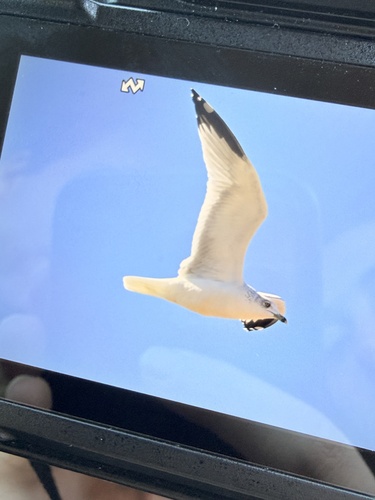
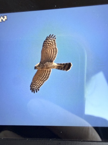
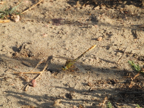
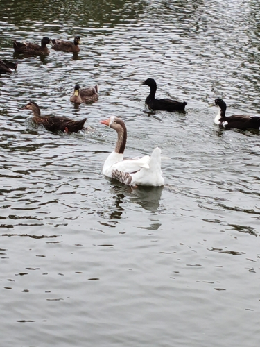
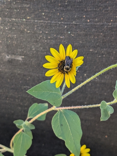
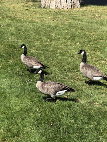
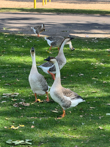
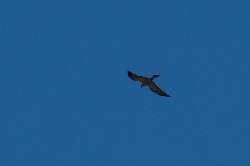
Research-grade observations from iNaturalist (within ~15 mi).
Nearest stream gauge
Events
Gallery
Sources
- • Wikipedia
- • US Census Bureau (ACS 5-year estimates)
- • NOAA National Weather Service
- • Wikidata
- • Open-Meteo Air Quality (CAMS)
- • USGS Earthquake Catalog (global feed)
- • NCES via Urban Institute Education Data Portal
- • GBIF (Global Biodiversity Information Facility)
- • iNaturalist
- • CDC PLACES
- • Open-Meteo / sunrise-sunset.org
- • Wikipedia Pageviews API
- • Open Library
- • NASA EONET