Browse / United States / Colorado / Loveland
Loveland
Coloradocity

Loveland
Total population
78,410
Median home value
$479,000
Bachelor's+
Median income
$84,604
Founded
1877
Demographic figures from US Census Bureau · ACS 5-year estimates. Overview below cites Wikipedia and may reference a different year.
City facts
Facts from Wikidata (CC0).
Overview
Loveland is a home rule municipality and the second most populous municipality in Larimer County, Colorado, United States. Loveland is situated 46 miles (74 km) north of the Colorado State Capitol in Denver and is the 14th most populous city in Colorado. As of the 2020 census, the population of Loveland was 76,378. The city forms part of the Fort Collins-Loveland Metropolitan Statistical Area and the Front Range Urban Corridor. The city's public schools are part of the Thompson R2-J School District.
Read more on WikipediaHistory & geography
History
The Loveland area was a hub for French fur trappers in the late 18th and early 19th centuries. It was a trading post and stage station, and the site is now Namaqua Park. The nearby Big Thompson, Colorado Territory, post office opened on November 12, 1862. The Namaqua, Colorado Territory, post office operated from January 28, 1868, until January 3, 1879. Loveland was officially founded in 1877 along the newly constructed line of the Colorado Central Railroad, near its crossing of the Big Thompson River. It was named in honor of William A. H. Loveland, the president of the Colorado Central Railroad. The city was founded one mile (1.6 km) upstream from the existing small settlement of St. Louis, the buildings of which were moved to the site of Loveland. The Big Thompson post office moved to Loveland on January 10, 1878, and the Town of Loveland was incorporated on April 30, 1881.), and finally a killer freeze destroyed the industry. By the late 1960s, cherries were no longer farmed at scale, although orchards remained in southeast Loveland and nearby Masonville into the 1990s. In the late 20th century, the economy diversified with the arrival of manufacturing facilities by Hewlett-Packard, Teledyne, and Hach, a water quality analysis equipment manufacturer. A new medical center has added a substantial amount of employment in that sector. Loveland was known as a "sundown town", a racially segregated community which prohibited non-white travelers from remaining in their borders after the sun set. While such towns were most common in the Deep South, Loveland showed the practice existed elsewhere. Longtime Loveland residents reported anecdotes from this era such as a baseball team with African-American players not staying overnight in the city after their game, and…
Geography
The city is located in the Colorado Front Range region at the base of the foothills just east of the mouth of Big Thompson River Canyon at the intersection of U.S. Highway 34 and U.S. Highway 287. Longs Peak and other mountains of the Front Range are visible from much of the city. Loveland is in southeastern Larimer County. Located south of Fort Collins, its larger neighbor and the county seat of Larimer County, both cities have expanded steadily towards each other. They are considered a single metropolitan area by the U.S. government. The establishment of county-owned open space between the two communities in the 1990s was intended to create a permanent buffer. The northern city limits are now contiguous with those of Windsor, which has expanded westward from Weld County across Interstate 25. According to the United States Census Bureau, the city has a total area of , of which is land, and (3.68%) is water. Loveland Pass, also named after William A.H. Loveland, is not located near the town of Loveland. Loveland has a humid continental climate (Köppen climate classification Dfa). Its climate is characterized by warm to hot summer and long and moderately cold winter (sometimes severely). Due to its low annual precipitation, Loveland's climate can sometimes be categorized as cold semi-arid. Loveland, Colorado has an annual snowfall of . The hottest temperature recorded in Loveland was on July 19, 2022, while the coldest temperature recorded was on December 22, 1990. |source 2 = National Weather Service }}
Excerpted from the corresponding Wikipedia article (CC BY-SA).
Demographics & economy
Race & ethnicity
Source: US Census Bureau — American Community Survey, 5-year estimates.
Geography
Coordinates & boundaries from the US Census TIGER/Line shapefiles.
Climate
Current forecast
Forecast for Loveland, CO from NOAA NWS API.
Air quality
Industrial & pollution facilities
Natural hazard risk
Health (adults)
Walkability
Amenities nearby
Wildlife & biodiversity
Most-observed species
- House FinchHaemorhous mexicanus (P.L.Statius Müller, 1776) · Aves29,369
- MallardAnas platyrhynchos Linnaeus, 1758 · Aves29,040
- Red-winged BlackbirdAgelaius phoeniceus (Linnaeus, 1766) · Aves28,642
- Canada Goose (canadensis Group)Branta canadensis (Linnaeus, 1758) · Aves28,181
- American RobinTurdus migratorius Linnaeus, 1766 · Aves28,151
- Black-capped ChickadeePoecile atricapillus (Linnaeus, 1766) · Aves25,242
- Northern FlickerColaptes auratus (Linnaeus, 1758) · Aves25,133
- Blue JayCyanocitta cristata (Linnaeus, 1758) · Aves24,368
Citizen-science & research observations from the Global Biodiversity Information Facility (GBIF).
Schools
Earthquake history
Most recent
- M 2.7 — 2025-06-137 km SE of Erie, Colorado
- M 2.5 — 2020-10-242 km ESE of Georgetown, Colorado
- M 2.9 — 2019-03-307 km NE of Greeley, Colorado
- M 3 — 2016-11-068 km ENE of Greeley, Colorado
- M 2.7 — 2016-11-068 km ENE of Greeley, Colorado
- M 2.6 — 2016-08-232 km SSE of Eaton, Colorado
Events from the USGS Earthquake Catalog (global) (FDSN Event Web Service).
Photos
Sights & places nearby
Notable people from here


People born within ~10 km, from Wikidata (CC0). Click any name for their Wikipedia article.
Geography & sun
Nearby airports
Public attention
Books about this place
Recent natural events nearby
- Wildfire Moonshine, Albany, WyomingWildfires · 2026-09-07 · 107 mi
- Wildfire Cold Springs, Converse, WyomingWildfires · 2026-08-10 · 161 mi
- Wildfire 310, Garfield, ColoradoWildfires · 2026-08-06 · 169 mi
- Wildfire Swiss Roll, Archuleta, ColoradoWildfires · 2026-08-20 · 229 mi
- Wildfire Post, Las Animas, ColoradoWildfires · 2026-08-11 · 233 mi
- Wildfire WEISER KNOLL, Fremont, WyomingWildfires · 2026-08-09 · 239 mi
- Wildfire Needles, Oglala Lakota, South DakotaWildfires · 2026-09-04 · 245 mi
- Wildfire Rancher fire, Oglala Lakota, South DakotaWildfires · 2026-08-11 · 245 mi
Wildfires, storms and other events from NASA EONET (last 12 months, within 250 mi).
Ground air-quality sensors
Recently spotted species
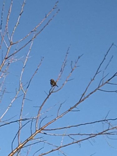
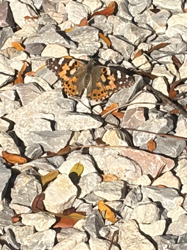
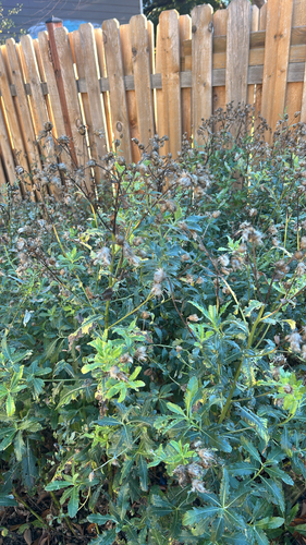
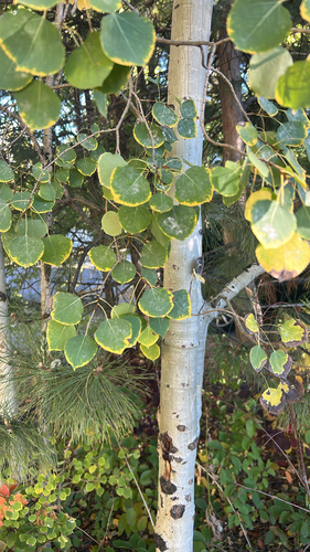
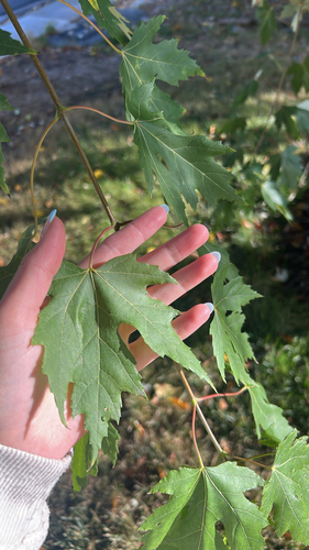
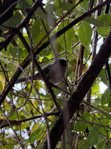
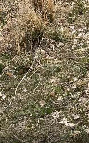
Research-grade observations from iNaturalist (within ~15 mi).
Nearest stream gauge
Events
Gallery
Sources
- • Wikipedia
- • US Census Bureau (ACS 5-year estimates)
- • NOAA National Weather Service
- • Wikidata
- • USGS Earthquake Catalog (global feed)
- • GBIF (Global Biodiversity Information Facility)
- • iNaturalist
- • NASA EONET