Browse / Colombia / Antioquia / Medellín
Medellín
Antioquiacity

Medellín
Total population
2,441,123
Founded
1675
Air quality index
Demographic figures from DANE. Overview below cites Wikipedia and may reference a different year.
City facts
Sister cities
Facts from Wikidata (CC0).
Overview
Medellín, officially the Special District of Science, Technology and Innovation of Medellín, is the second-largest city in Colombia after Bogotá, and the capital of the department of Antioquia. It is located in the Aburrá Valley, a central region of the Andes Mountains, in northwestern South America. The city's population was 2,427,129 at the 2018 census. The metro area of Medellín is the second-largest urban agglomeration in Colombia in terms of population and economy, with more than 4 million people.
Read more on WikipediaHistory & geography
History
In August 1541, Marshal Jorge Robledo was in the place known today as Heliconia when he saw in the distance what he thought was a valley. He sent Jerónimo Luis Tejelo to explore the territory, and during the night of 23 August, Tejelo reached the plain of what is now Aburrá Valley. The Spaniards gave it the name of "Valley of Saint Bartholomew", but this was soon changed for the native name Aburrá "Painters" because of the textile decorations of the local rulers. In 1574, Gaspar de Rodas asked the Antioquia's cabildo for of land to establish herds and a ranch in the valley. The Cabildo granted him of land. Soon after, the college moved to a new building in the small San Ignacio square. In 1821 it was renamed Colegio de Antioquia, and it became the University of Antioquia in 1901. The university also had the first vocational training school, the first cultural radio station in Latin America, and the first regional botanical garden. In the first half of the twentieth century, the population of Medellín increased sixfold, from 59,815 inhabitants in 1905 to 358,189 in 1951. The Thousand Days War (1899–1902) stopped the industrial development of the city, although the civil war did not affect the region directly. Under reforms by President Rafael Reyes after the conflict, the city continued its industrial development Its headquarters, the Coltejer Building, is the tallest skyscraper in Medellín and the fourth tallest building in Colombia. The discovery of coal in Amagá, a few kilometers south of the Aburrá Valley, and the building of hydroelectric plants provided the new industries with energy, and this allowed the creation of many smaller companies. The Antioquia Railway (built in 1875) conquered the difficult geography of one of the most mountainous regions of South…
Geography
Medellín has 16 comunas (districts), 5 corregimientos (townships), and 271 barrios (neighborhoods). The metropolitan area of Medellín lies within the Aburrá valley at an elevation of above sea level and is bisected by the Medellín River (also called Porce), which flows northward. North of the valley are the towns of Bello, Copacabana, Girardota, and Barbosa. To the south of the valley lie Itagüí, Envigado, Sabaneta, La Estrella, and Caldas. The weather in Medellín is warm year-round with few temperature extremes. As a municipality, Medellín has an area of . Medellín features a tropical monsoon climate (Am). Since Medellín is located at above sea level, its climate is not as hot as other cities located at the same latitude near the equator. Because of its altitude above sea level and privileged location in the Andes Range, Medellín's weather at times is more characteristic of a humid subtropical climate than that of a tropical climate. The city's average annual temperature is , and because of its proximity to the equator, its temperature is constant year-round, with minimal temperature variations. Temperatures range from . Because of the pleasant springlike climate all year, Medellín is known as "La Ciudad de la Eterna Primavera" or "City of the Eternal Spring". The city is located in a valley and many of its districts are on slopes; temperatures can be slightly cooler on the surrounding mountains.
Excerpted from the corresponding Wikipedia article (CC BY-SA).
Geography
Coordinates & boundaries from the US Census TIGER/Line shapefiles.
Climate
Air quality
Current readings from Open-Meteo Air Quality API (Copernicus CAMS European reanalysis).
Walkability
Amenities nearby
Wildlife & biodiversity
Most-observed species
- Great KiskadeePitangus sulphuratus (Linnaeus, 1766) · Aves10,596
- Blue-gray TanagerThraupis episcopus (Linnaeus, 1766) · Aves10,551
- Tropical KingbirdTyrannus melancholicus Vieillot, 1819 · Aves10,443
- Eared DoveZenaida auriculata (Des Murs, 1847) · Aves10,006
- Palm TanagerThraupis palmarum (Wied-Neuwied, 1821) · Aves8,963
- Black VultureCoragyps atratus (Bechstein, 1793) · Aves8,703
- Ruddy Ground-DoveColumbina talpacoti (Temminck, 1810) · Aves8,125
- Black-billed ThrushTurdus ignobilis P.L.Sclater, 1858 · Aves7,966
Citizen-science & research observations from the Global Biodiversity Information Facility (GBIF).
Earthquake history
Most recent
- M 4.3 — 2026-04-1813 km NNW of Campamento, Colombia
- M 4.9 — 2025-09-2125 km WSW of Abriaquí, Colombia
- M 5.4 — 2025-09-145 km N of Frontino, Colombia
- M 4.9 — 2024-12-2413 km SW of Caracolí, Colombia
- M 4.5 — 2024-12-247 km SE of Ituango, Colombia
- M 4.4 — 2024-09-122 km ENE of Yalí, Colombia
Events from the USGS Earthquake Catalog (global) (FDSN Event Web Service).
Photos
Sights & places nearby
Notable people from here


People born within ~10 km, from Wikidata (CC0). Click any name for their Wikipedia article.
Nearby places in Antioquia
Geography & sun
Elevation, sunrise/sunset and daylight from Open-Meteo. Solar climatology from NASA POWER.
Nearby airports
Public attention
Pageview totals from the Wikimedia Pageviews API.
Books about Medellín


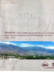


Search results from Open Library.
Recent natural events nearby
Ground air-quality sensors
Recently spotted species
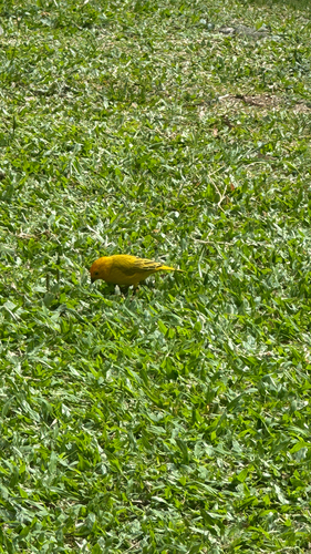
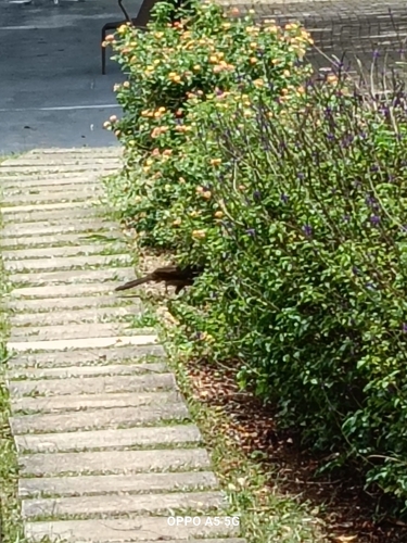
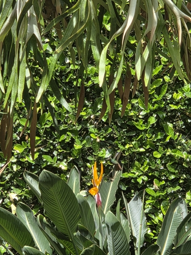
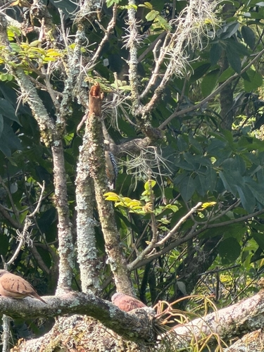
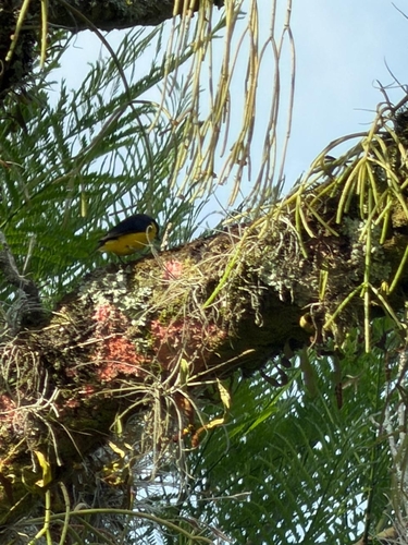
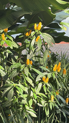
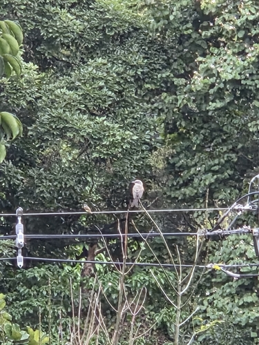
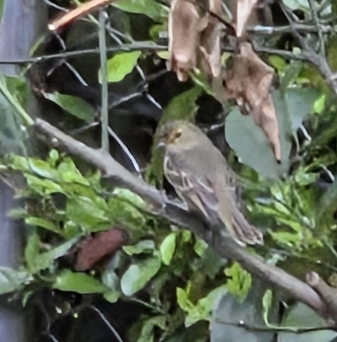
Research-grade observations from iNaturalist (within ~15 mi).
Events
Notable, recurring, and historical events associated with Medellín, sourced from Wikidata.
- 2025 Pan American U17 Water Polo Championship – Women's tournamentMay 19, 2025sporting event
international youth water polo tournament
- 2025 Pan American U17 Water Polo Championship – Men's tournamentMay 19, 2025sporting event
international youth water polo tournament
- Q133453344Jan 1, 2017recurring event
- Q133603323Nov 1, 2014recurring event edition
- Q15806640Nov 4, 2013sporting event
- Q137660846Jan 1, 2010sporting event
- Q6085061Jan 1, 1986festival
- 2023 Pan American Artistic Gymnastics Championshipsplanned event
Gymnastics event in Medellín, Colombia
Source: Wikidata (CC0).
Gallery
Geotagged photos within ~6 miles of Medellín, from Wikimedia Commons contributors.
 0 mi
0 mi 0 mi
0 mi,_cenizas_de_Rodrigo_Arenas.jpg) 0 mi
0 mi_-_03.jpg) 0 mi
0 mi 0.1 mi
_AKA._Plaza_de_la_Luz_(Light_Square)_(5083063362).jpg) 0.1 mi
0.1 mi_AKA._Plaza_de_la_Luz_(Light_Square)_(5083061058).jpg) 0.1 mi
0.1 mi_AKA._Plaza_de_la_Luz_(Light_Square)_(5082463525).jpg) 0.1 mi
0.1 mi_(5083056568).jpg) 0.1 mi
0.1 mi 0.1 mi
 0.1 mi
 0.1 mi
.jpg) 0.1 mi
0.1 mi 0.1 mi
 0.1 mi
_-_04.jpg) 0.1 mi
0.1 mi_-_05.jpg) 0.1 mi
0.1 mi_-_06.jpg) 0.1 mi
0.1 mi 0.1 mi
 0.1 mi
 0.1 mi
 0.1 mi
 0.1 mi
_(gjbustamo)_2023-07-05_04H00M05S566.jpg) 0.1 mi
0.1 miPhotos via Wikimedia Commons — see each image page for license & attribution.
Official Identifiers
DANE — Departamento Administrativo Nacional de Estadística
- DANE / DIVIPOLA
- 05001
- Population (Wikidata)
- 2,529,403
- Wikidata
- Q48278
DANE code via Wikidata P7325
Sources
- • Wikipedia
- • Wikimedia Commons
- • Wikidata
- • Open-Meteo Air Quality (CAMS)
- • USGS Earthquake Catalog (global feed)
- • GBIF (Global Biodiversity Information Facility)
- • iNaturalist
- • Open-Meteo / sunrise-sunset.org
- • Wikipedia Pageviews API
- • Open Library
- • Wikidata SPARQL (CC0) — population, area, elevation, inception, head of government, Commons image
- • DANE — Departamento Administrativo Nacional de Estadística — DANE code via Wikidata P7325