Browse / United States / Colorado / Ouray
Ouray
Coloradocity

Ouray
Total population
985
Median home value
$588,300
Bachelor's+
Median income
$78,182
Demographic figures from US Census Bureau · ACS 5-year estimates. Overview below cites Wikipedia and may reference a different year.
City facts
Facts from Wikidata (CC0).
Overview
Ouray is a home rule municipality that is the county seat of Ouray County, Colorado, United States. The city population was 898 as of the 2020 census. The Ouray Post Office has the ZIP Code 81427. Located at an elevation of 7,792 feet (2,375 m), Ouray's climate, natural alpine environment, and scenery have earned it the nickname "Switzerland of America".
Read more on WikipediaHistory & geography
History
Established by miners seeking silver and gold in the surrounding mountains, the town once boasted more horses and mules than people. Prospectors arrived in the area in 1875. In 1877, William Weston and George Barber found the Gertrude and Una gold veins in Imogene Basin, six miles south southwest of Ouray. Thomas Walsh acquired the two veins and all the open ground nearby. In 1897, Walsh opened the Camp Bird Mine, adding a twenty-stamp mill in 1898, and a forty-stamp mill in 1899. The mine produced almost 200,000 ounces of gold by 1902, when Walsh sold out to Camp Bird, Ltd. By 1916, Camp Bird, Ltd., had produced over one million ounces of gold. At the height of the mining, Ouray had more than 30 active mines. After changing its name together with the county's name several times, the town was incorporated on October 2, 1876, named after Chief Ouray of the Utes, a Native American tribe. By 1877 Ouray had grown to over 1,000 in population and was named county seat of the newly formed Ouray County on March 8, 1877. The Denver & Rio Grande Railway arrived in Ouray on December 21, 1887. It continued until automobile and truck traffic caused ridership to drop. The last regularly scheduled passenger train was September 14, 1930. The line between Ouray and Ridgway was abandoned on March 21, 1953. In 1986, Bill Fries, who was known better as C. W. McCall, was elected mayor. Fries served the municipality for six years. The entirety of Main Street is registered as a National Historic District with most buildings dating from the late nineteenth century. The Beaumont Hotel and the Ouray City Hall and Walsh Library are listed on the National Register of Historic Places individually, while the Ouray County Courthouse, St. Elmo Hotel, St. Joseph's Miners' Hospital (housing the…
Geography
Ouray is located in the San Juan Mountains of southwestern Colorado. It is about south of Montrose. It is only northeast of Telluride, but due to the severity of the landscape, the drive is about . Ouray is connected to Silverton and then Durango to the south by Red Mountain Pass which crests at just over . The drive along the Uncompahgre River and over the pass is nicknamed the "Million Dollar Highway", although the exact origin of the name is disputed. Yankee Boy Basin is located a few miles from the town. According to the United States Census Bureau, the city has a total area of , all of it land. Ouray is located at an elevation of , and experiences four distinct seasons. Summers are warm in the day and mild to cool at night with brief thunderstorms often occurring in the afternoons in July and August sometimes resulting in intense, though short lived, rainfall. Autumn is cool and mostly clear with occasional rain. Winters are long and cold—though seldom extremely so—with considerable snowfall. Spring is generally cool with early spring often bringing the largest snowfalls; late spring into early summer (mid-May through late June) is mild to warm and is usually the driest time of year. The Köppen climate classification for Ouray is Dfb.
Excerpted from the corresponding Wikipedia article (CC BY-SA).
Demographics & economy
Race & ethnicity
Source: US Census Bureau — American Community Survey, 5-year estimates.
Geography
Coordinates & boundaries from the US Census TIGER/Line shapefiles.
Climate
Current forecast
Forecast for Ouray, CO from NOAA NWS API.
Air quality
Industrial & pollution facilities
Natural hazard risk
Health (adults)
Age-adjusted prevalence estimates from CDC PLACES (latest release).
Walkability
Amenities nearby
Wildlife & biodiversity
Most-observed species
- Black-billed MagpiePica hudsonia (Sabine, 1823) · Aves2,212
- American RobinTurdus migratorius Linnaeus, 1766 · Aves2,198
- Mountain ChickadeePoecile gambeli (Ridgway, 1886) · Aves1,916
- American CrowCorvus brachyrhynchos C.L.Brehm, 1822 · Aves1,904
- Pine SiskinSpinus pinus (A.Wilson, 1810) · Aves1,758
- Broad-tailed HummingbirdSelasphorus platycercus (Swainson, 1827) · Aves1,687
- Common RavenCorvus corax Linnaeus, 1758 · Aves1,570
- Steller's JayCyanocitta stelleri (Gmelin, 1788) · Aves1,506
Citizen-science & research observations from the Global Biodiversity Information Facility (GBIF).
Schools
Earthquake history
Photos
Sights & places nearby
Notable people from here


People born within ~10 km, from Wikidata (CC0). Click any name for their Wikipedia article.
Nearby places in Colorado
Geography & sun
Elevation, sunrise/sunset and daylight from Open-Meteo. Solar climatology from NASA POWER.
Nearby airports
Public attention
Pageview totals from the Wikimedia Pageviews API.
Books about Ouray

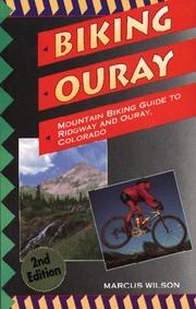

Search results from Open Library.
Recent natural events nearby
- Wildfire Swiss Roll, Archuleta, ColoradoWildfires · 2026-08-20 · 66 mi
- Wildfire Rio Blanco, Archuleta, ColoradoWildfires · 2026-07-28 · 73 mi
- Wildfire 310, Garfield, ColoradoWildfires · 2026-08-06 · 99 mi
- Wildfire Slough Canyon, Grand, UtahWildfires · 2026-08-15 · 153 mi
- Wildfire Frijoles, Santa Fe, New MexicoWildfires · 2026-08-05 · 178 mi
- Wildfire Post, Las Animas, ColoradoWildfires · 2026-08-11 · 190 mi
- Wildfire Rayado Mesa, Colfax, New MexicoWildfires · 2026-07-27 · 195 mi
- Wildfire LAUGHLIN, Colfax, New MexicoWildfires · 2026-08-25 · 205 mi
Wildfires, storms and other events from NASA EONET (last 12 months, within 250 mi).
Ground air-quality sensors
Recently spotted species

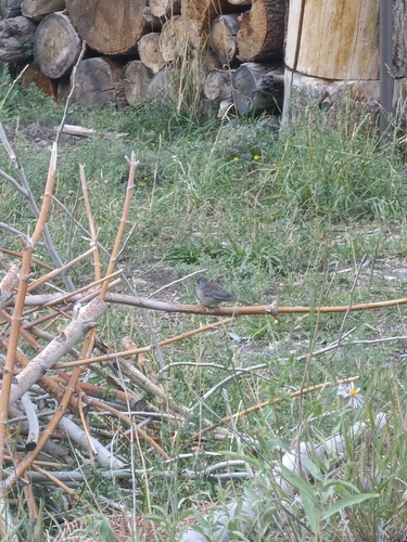
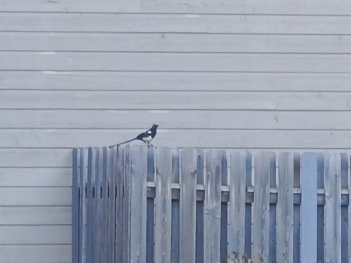
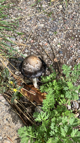
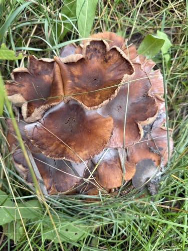
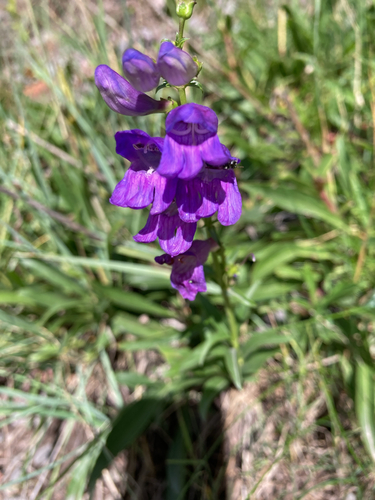
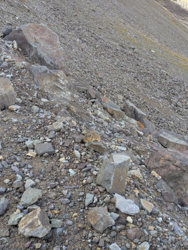
Research-grade observations from iNaturalist (within ~15 mi).
Nearest stream gauge
Events
Gallery
Sources
- • Wikipedia
- • US Census Bureau (ACS 5-year estimates)
- • NOAA National Weather Service
- • Wikidata
- • GBIF (Global Biodiversity Information Facility)
- • iNaturalist
- • CDC PLACES
- • Open-Meteo / sunrise-sunset.org
- • Wikipedia Pageviews API
- • Open Library
- • NASA EONET