Browse / United States / Colorado / Pagosa Springs
Pagosa Springs
Coloradotown

Pagosa Springs
Total population
2,090
Median home value
$374,600
Bachelor's+
Median income
$50,785
Demographic figures from US Census Bureau · ACS 5-year estimates. Overview below cites Wikipedia and may reference a different year.
- Hydrologic Outlook · UnknownHydrologic Outlook issued September 25 at 2:21PM MDT by NWS Grand Junction CO
Source: NOAA National Weather Service.
City facts
Facts from Wikidata (CC0).
Overview
Pagosa Springs is a home rule municipality that is the county seat, most populous community, and only incorporated municipality in Archuleta County, Colorado, United States. As of the 2020 census, its population was 1,571.
Read more on WikipediaHistory & geography
History
The town is named for a system of sulfur springs, Pagosa hot springs, located there, which includes the world's deepest geothermal hot spring. The "Mother" spring feeds primitive and developed hot springs located on the upper banks of the San Juan River, which flows through town. The primitive springs are freely accessible to the public, but are generally not for entering or interacting with because of the extreme water temperature. Developed springs feed soaking pools that are hosted by three privately owned soaking locations within town. The water from the "Mother" spring is approximately . Local indigenous people used the hot springs for centuries; the area was considered "sacred ground". In Navajo cosmology, Pagosa Springs is the place where the People (Diné) emerged from their Fourth World underground to the Fifth World, this one, as Aileen O'Bryan records in The Dîné: Origin Myths of the Navaho Indians. In 1859, a white settler "discovered" the springs and developed them. In 1881, a bathhouse was first built there for paying customers. The Ute people called the sulfur-rich mineral springs , which is commonly translated in modern documents as "healing waters"; however according to Bill Hudson writing for the Pagosa Daily Post, a Ute elder once translated the phrase as "water () that has a bad smell ()" whereas the Archuleta County government states that "pagosa" is a Ute word meaning "healing or "boiling water." After the Civil War, the United States government considered building a convalescent hospital in Pagosa Springs. However, the hospital project was cancelled, and the lands platted by the U.S. Army were sold to private parties who capitalized on the thermal mineral springs. Along the banks of the San Juan river, simple wooden bathhouses were constructed.…
Geography
Pagosa Springs is located east of Durango. The San Juan River flows through the middle of town. According to the United States Census Bureau, the town has a total area of , of which is land and , or 0.53%, is water. The area around Pagosa Springs has numerous large waterfalls, including Treasure Falls to the east of town off of Hwy 160 just past the Wolf Creek Pass summit. Approximately 65 percent of the land in Archuleta County is either San Juan National Forest, [http://www.coloradowilderness.com/wildpages/weminuche.html Weminuche] and [http://www.coloradowilderness.com/wildpages/sanjuan.html South San Juan] wilderness areas, or Southern Ute Indian reservation land. Pagosa Springs is located approximately north of the New Mexico border, at above sea level on the Western Slope of the Continental Divide. This combination of high desert plateau and the Rocky Mountains to the north and east creates an unusually mild climate, especially in the summer months. Pagosa sees around 300 days of sun each year, as well as four distinct seasons. The town is located in the upper San Juan Basin, surrounded by the San Juan National Forest, and adjacent to the largest wilderness area in the state of Colorado, the Weminuche Wilderness.
Excerpted from the corresponding Wikipedia article (CC BY-SA).
Demographics & economy
Race & ethnicity
Source: US Census Bureau — American Community Survey, 5-year estimates.
Geography
Coordinates & boundaries from the US Census TIGER/Line shapefiles.
Climate
Current forecast
Forecast for Pagosa Springs, CO from NOAA NWS API.
Air quality
Industrial & pollution facilities
Natural hazard risk
Health (adults)
Age-adjusted prevalence estimates from CDC PLACES (latest release).
Walkability
Amenities nearby
Wildlife & biodiversity
Most-observed species
- American CrowCorvus brachyrhynchos C.L.Brehm, 1822 · Aves2,739
- Black-billed MagpiePica hudsonia (Sabine, 1823) · Aves2,249
- Red-winged BlackbirdAgelaius phoeniceus (Linnaeus, 1766) · Aves2,119
- MallardAnas platyrhynchos Linnaeus, 1758 · Aves1,942
- Canada Goose (canadensis Group)Branta canadensis (Linnaeus, 1758) · Aves1,922
- Eurasian Collared-DoveStreptopelia decaocto (Frivaldszky, 1838) · Aves1,605
- Common RavenCorvus corax Linnaeus, 1758 · Aves1,539
- House SparrowPasser domesticus (Linnaeus, 1758) · Aves1,455
Citizen-science & research observations from the Global Biodiversity Information Facility (GBIF).
Schools
Earthquake history
Photos
Sights & places nearby
Notable people from here

People born within ~10 km, from Wikidata (CC0). Click any name for their Wikipedia article.
Nearby places in Colorado
Geography & sun
Elevation, sunrise/sunset and daylight from Open-Meteo. Solar climatology from NASA POWER.
Nearby airports
Public attention
Pageview totals from the Wikimedia Pageviews API.
Books about Pagosa Springs


Search results from Open Library.
Recent natural events nearby
- Wildfire Rio Blanco, Archuleta, ColoradoWildfires · 2026-07-28 · 10 mi
- Wildfire Swiss Roll, Archuleta, ColoradoWildfires · 2026-08-20 · 15 mi
- Wildfire Frijoles, Santa Fe, New MexicoWildfires · 2026-08-05 · 113 mi
- Wildfire Rayado Mesa, Colfax, New MexicoWildfires · 2026-07-27 · 136 mi
- Wildfire Post, Las Animas, ColoradoWildfires · 2026-08-11 · 143 mi
- Wildfire LAUGHLIN, Colfax, New MexicoWildfires · 2026-08-25 · 150 mi
- Wildfire 310, Garfield, ColoradoWildfires · 2026-08-06 · 160 mi
- Wildfire WHISKEY, Torrance, New MexicoWildfires · 2026-08-21 · 181 mi
Wildfires, storms and other events from NASA EONET (last 12 months, within 250 mi).
Ground air-quality sensors
Recently spotted species
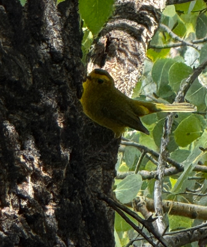
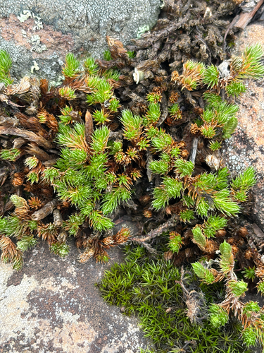
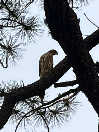
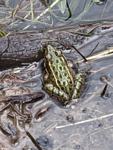
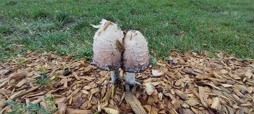
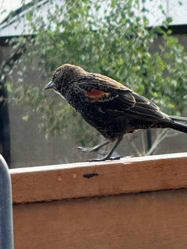
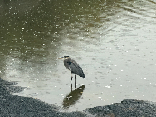
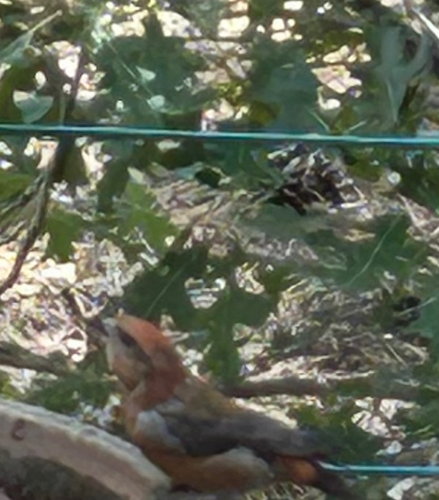
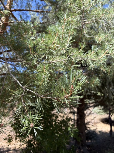
Research-grade observations from iNaturalist (within ~15 mi).
Nearest stream gauge
Events
Gallery
Sources
- • Wikipedia
- • US Census Bureau (ACS 5-year estimates)
- • NOAA National Weather Service
- • Wikidata
- • GBIF (Global Biodiversity Information Facility)
- • iNaturalist
- • CDC PLACES
- • Open-Meteo / sunrise-sunset.org
- • Wikipedia Pageviews API
- • Open Library
- • NASA EONET