Browse / Colombia / Cesar / Pueblo Bello
Pueblo Bello
Cesartown

Pueblo Bello
Total population
27,007
Founded
1777
Demographic figures from DANE. Overview below cites Wikipedia and may reference a different year.
City facts
Facts from Wikidata (CC0).
Overview
Pueblo Bello, is a village and municipality in the northern region of the Department of Cesar, Colombia. It is located in the mountains of the Sierra Nevada de Santa Marta and is home to Amerindians pertaining to the Arhuaco ethnicity, whom consider Pueblo Bello a sanctuary but by the name of Arumake in their language. Pueblo Bello is the main producer of coffee in the Caribbean Region of Colombia.
Read more on WikipediaHistory & geography
History
The region was first inhabited by the Arhuaco and Chimila Maconganas. Upon the arrival of the Spanish, during the Spanish colonization of the Americas, the first European explorers to arrive were men under the orders of Lope de Orozco and had named it Valle de Taironaca (Valley of Taironaca). The village was founded by Captain Antonio Florez in c. 1590 with the name Dulce Nombre de Jesus but due to constant attacks from the Chimilas the town was moved nearer to Valledupar. The old village was named; Pueblo Viejo (named changed to Pueblo Bello in the 20th Century) and the new town; Nueva Valencia. Pueblo Bello was a corregimiento of Valledupar until 1997 when it was elevated to municipality by Ordinance 037 of December 10, 1997; later Decree 000239 of May 6, 1998 the Ordinance was recognized and enforced.
Geography
Pueblo Bello is the only municipality that is completely within the Sierra Nevada de Santa Marta mountains. The municipality borders to the north with the Department of Magdalena; to the east and south with the municipality of Valledupar and to the southwest with the municipality of El Copey. The municipality of Pueblo Bello is also part a Forest Reserve, the Sierra Nevada de Santa Marta National Park and the indigenous reserve. The municipality is crossed by two rivers; the Ariguaní River and the Ariguanicito River. Pueblo Bello presents an average temperature throughout the year between 16 °C and 22 °C predominantly characterized by mountain climate.
Excerpted from the corresponding Wikipedia article (CC BY-SA).
Geography
Coordinates & boundaries from the US Census TIGER/Line shapefiles.
Climate
10-year averages from ERA5 reanalysis (Open-Meteo).
Air quality
Walkability
Amenities nearby
Wildlife & biodiversity
Most-observed species
- Nannotrigona gaboi Jaramillo, Ospina-Torres & Gonzalez, 2019Nannotrigona gaboi Jaramillo, Ospina-Torres & Gonzalez, 2019 · Insecta160
- Crested OropendolaPsarocolius decumanus (Pallas, 1769) · Aves121
- Pale-eyed Pygmy-TyrantAtalotriccus pilaris (Cabanis, 1847) · Aves93
- Black-chested JayCyanocorax affinis Pelzeln, 1856 · Aves91
- Tropical KingbirdTyrannus melancholicus Vieillot, 1819 · Aves90
- Blue-gray TanagerThraupis episcopus (Linnaeus, 1766) · Aves87
- Bicolored WrenCampylorhynchus griseus (Swainson, 1838) · Aves84
- Scrub GreenletHylophilus flavipes Lafresnaye, 1845 · Aves79
Citizen-science & research observations from the Global Biodiversity Information Facility (GBIF).
Earthquake history
Most recent
- M 4.2 — 2025-02-2015 km NNE of Nueva Granada, Colombia
- M 4.1 — 2022-12-2627 km ENE of Ciénaga, Colombia
- M 4.3 — 2022-11-2720 km SE of Santa Marta, Colombia
- M 4.7 — 2022-02-0613 km NNE of Valledupar, Colombia
- M 4.6 — 2019-07-1313 km ENE of Agustín Codazzi, Colombia
- M 4.8 — 2017-10-2637 km WNW of Agustín Codazzi, Colombia
Events from the USGS Earthquake Catalog (global) (FDSN Event Web Service).
Photos
Sights & places nearby
Notable people from here

People born within ~10 km, from Wikidata (CC0). Click any name for their Wikipedia article.
Nearby places in Cesar
- Montecristo8.4 mi away
- Nabusimake (San Sebastián de Rábago)10.3 mi away
- Villa Germania13.1 mi away · pop. 2,400
- Azucar Buena (La Mesa)13.7 mi away
- Aguas Blancas14.6 mi away
- El Templado15.3 mi away
- Valencia de Jesús15.3 mi away
- Mariangola15.9 mi away
- Chimila18.4 mi away
- Donachui22.6 mi away
- Las Casitas23 mi away
- Valledupar23.3 mi away · pop. 490,075
Geography & sun
Elevation, sunrise/sunset and daylight from Open-Meteo. Solar climatology from NASA POWER.
Nearby airports
Public attention
Pageview totals from the Wikimedia Pageviews API.
Books about Pueblo Bello
Search results from Open Library.
Recent natural events nearby
Ground air-quality sensors
Recently spotted species
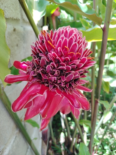
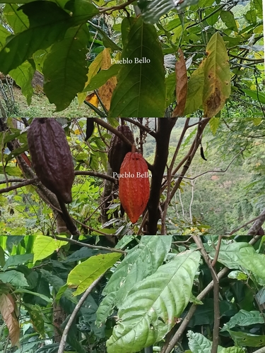
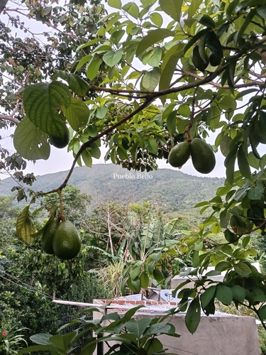
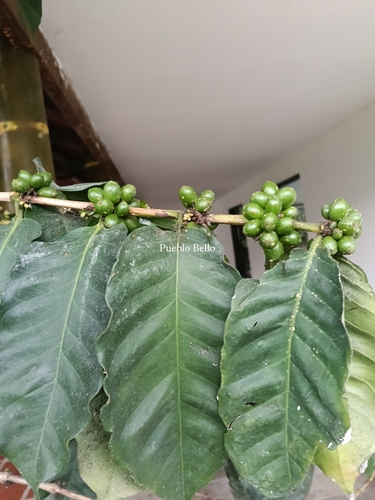
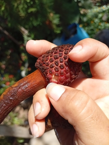
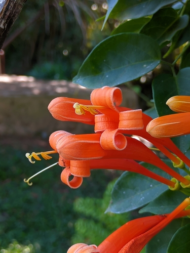
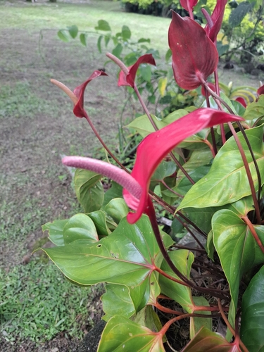
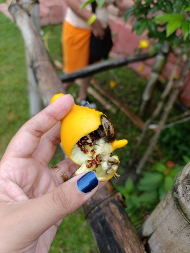
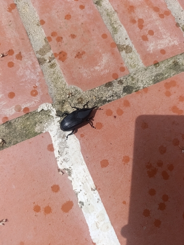
Research-grade observations from iNaturalist (within ~15 mi).
Events
Gallery
Geotagged photos within ~6 miles of Pueblo Bello, from Wikimedia Commons contributors.


Photos via Wikimedia Commons — see each image page for license & attribution.
Official Identifiers
DANE — Departamento Administrativo Nacional de Estadística
- DANE / DIVIPOLA
- 20570
- Population (Wikidata)
- 27,007
- Wikidata
- Q1526171
DANE code via Wikidata P7325
Sources
- • Wikipedia
- • Open-Meteo (ERA5 reanalysis)
- • Wikimedia Commons
- • Wikidata
- • USGS Earthquake Catalog (global feed)
- • GBIF (Global Biodiversity Information Facility)
- • iNaturalist
- • Open-Meteo / sunrise-sunset.org
- • Wikipedia Pageviews API
- • Open Library
- • Wikidata SPARQL (CC0) — population, area, elevation, inception, head of government, Commons image
- • DANE — Departamento Administrativo Nacional de Estadística — DANE code via Wikidata P7325