Browse / Colombia / Córdoba / San Antero
San Antero
Córdobacity
Total population
33,878
Air quality index
Demographic figures from DANE. Overview below cites Wikipedia and may reference a different year.
City facts
Overview
As a city in Córdoba, Colombia, San Antero occupies its own corner of the country. Recent open-data figures place its population at about 33,878. On the world map it falls within the Western Hemisphere, specifically at 9.373°, -75.760°. The latitude suggests hot and humid year-round with little seasonal temperature variation. Open solar datasets indicate about 1,870 kWh/m² of solar irradiance per year, combined with sunshine for roughly 73% of daylight hours. Open-data panels below dive into population trends, climate normals, environmental indicators and nearby places.
Summary composed automatically from structured open data on this page. See our Terms for details.
History & geography
Geography
Coordinates & boundaries from the US Census TIGER/Line shapefiles.
Climate
Air quality
Current readings from Open-Meteo Air Quality API (Copernicus CAMS European reanalysis).
Walkability
Amenities nearby
Wildlife & biodiversity
Most-observed species
- Great EgretArdea alba Linnaeus, 1758 · Aves1,195
- brown-throated conureAratinga pertinax (Linnaeus, 1758) · Aves1,115
- Tropical KingbirdTyrannus melancholicus Vieillot, 1819 · Aves1,051
- Neotropic CormorantPhalacrocorax brasilianus (Gmelin, 1789) · Aves876
- Snowy EgretEgretta thula (Molina, 1782) · Aves820
- Ringed KingfisherMegaceryle torquata (Linnaeus, 1766) · Aves814
- Wattled JacanaJacana jacana (Linnaeus, 1766) · Aves812
- Little Blue HeronEgretta caerulea (Linnaeus, 1758) · Aves810
Citizen-science & research observations from the Global Biodiversity Information Facility (GBIF).
Earthquake history
Most recent
- M 4.5 — 2023-12-155 km WSW of El Roble, Colombia
- M 4.5 — 2023-05-278 km SW of Corozal, Colombia
- M 4.6 — 2023-04-077 km NNE of Los Córdobas, Colombia
- M 4.4 — 2018-01-2614 km SE of San Pedro, Colombia
- M 4.1 — 2017-03-1311 km ENE of San Pedro, Colombia
- M 4.4 — 2014-11-279 km SSE of San Juan de Betulia, Colombia
Events from the USGS Earthquake Catalog (global) (FDSN Event Web Service).
Photos
Sights & places nearby
Notable people from here

People born within ~10 km, from Wikidata (CC0). Click any name for their Wikipedia article.
Nearby places in Córdoba
- El Porvenir4.2 mi away
- Bijao arriba6.8 mi away
- Bijao abajo7.1 mi away
- Los Corrales9.4 mi away
- Caño Grande9.4 mi away
- Purísima9.7 mi away · pop. 17,206
- San Fransico de Sicará9.8 mi away
- Lorica9.9 mi away · pop. 113,909
- Sabaneta10.4 mi away
- San Sebastián10.4 mi away
- La Doctrina10.5 mi away
- Momil10.9 mi away · pop. 19,590
Geography & sun
Elevation, sunrise/sunset and daylight from Open-Meteo. Solar climatology from NASA POWER.
Nearby airports
Public attention
Books about this place
Recent natural events nearby
Ground air-quality sensors
Recently spotted species

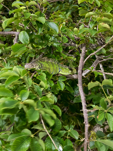
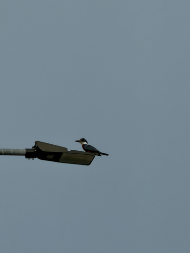
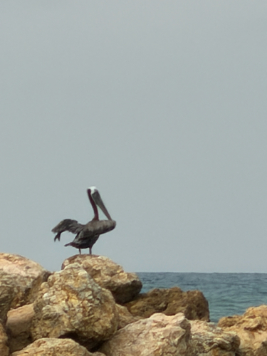
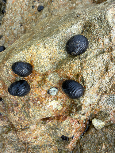


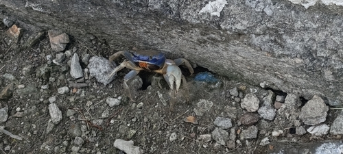
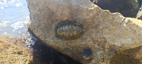
Research-grade observations from iNaturalist (within ~15 mi).
Events
Gallery
Geotagged photos within ~6 miles of San Antero, from Wikimedia Commons contributors.
.jpeg) 0.1 mi
0.1 mi 0.4 mi
 1.8 mi
.jpg) 1.9 mi
1.9 mi 2 mi
2 mi_-_iNaturalist.org.jpg) 2.1 mi
2.1 mi 3.2 mi
 3.7 mi
 4.3 mi
 4.3 mi
 4.4 mi
 5.5 mi
 5.7 mi
 5.7 mi
 5.7 mi
 5.7 mi
 5.8 mi
 5.9 mi
Photos via Wikimedia Commons — see each image page for license & attribution.
Official Identifiers
DANE — Departamento Administrativo Nacional de Estadística
- DANE / DIVIPOLA
- 23672
- Population (Wikidata)
- 33,662
- Wikidata
- Q1442369
DANE code via Wikidata P7325
Sources
- • Wikimedia Commons
- • Wikidata
- • Open-Meteo Air Quality (CAMS)
- • USGS Earthquake Catalog (global feed)
- • GBIF (Global Biodiversity Information Facility)
- • iNaturalist
- • Open-Elevation
- • Open-Meteo / sunrise-sunset.org
- • DANE — Departamento Administrativo Nacional de Estadística — DANE code via Wikidata P7325