Browse / United States / Colorado / Valdez
Valdez
ColoradoCDP

Valdez
Total population
26
Demographic figures from US Census Bureau · ACS 5-year estimates. Overview below cites Wikipedia and may reference a different year.
City facts
Facts from Wikidata (CC0).
Overview
Valdez is an unincorporated community and a census-designated place (CDP) in Las Animas County, Colorado, United States. From 1907 to 1960, Valdez served as a company town for Colorado Fuel & Iron and its Frederick coal mine, the company's most productive and second largest. The population of the Valdez CDP was 46 at the United States Census 2020. The Trinidad post office serves the area.
Read more on WikipediaHistory & geography
History
Colorado Fuel & Iron, under the guidance of first John D. Rockefeller and then his son John D. Rockefeller Jr., greatly expanded in the southern Colorado coalfields in the decade following their 1903 investment in the company. Among these expansions was the construction of the Valdez mine in 1907. Soon after its creation, the mine was renamed to "Frederick" and rapidly expanded, producing bituminous coal sent to the coking ovens at Segundo. Frederick coal was also, from 1918 onwards, shipped towards the CF&I Minnequa steel mill along the Colorado and Wyoming Railway, part of the company's vertical integration strategy. During this early period, Apache Indians reportedly frequented the town and surrounding area. In 1913-14, CF&I–supported by the Colorado National Guard and Baldwin–Felts detectives–fought the Colorado Coalfield War against striking United Mine Workers of America miners. While Valdez had been one of company towns not to see significant participation in the strike, the violence of the Ludlow Massacre and the succeeding days forced Rockefeller, Jr. to improve CF&Is image. He hired public relations specialist Ivy Lee and future Canadian prime minister William Lyon Mackenzie King for this task and would visit Valdez in September 1915 as part of a general tour of the coal mining region. Out of these efforts, the "Rockefeller Plan" of company town improvement and company-led unionization was born. By 1917, the mine was producing roughly 1,500 tons of coal a day with the work of 500 men and 28 mules. Trams replaced the mules in 1940 and total miners swelled to 750 men. The total production of the mine before its closure in 1960 was over 29.6 million tons.
Geography
Valdez is in western Las Animas County, in the valley of the Purgatoire River. It is bordered to the west by Segundo. Colorado State Highway 12 runs along the northern edge of the community, leading east (downriver) to Trinidad, the county seat, and west (upriver) to Stonewall Gap. The Valdez CDP has an area of , all land.
Excerpted from the corresponding Wikipedia article (CC BY-SA).
Demographics & economy
Geography
Coordinates & boundaries from the US Census TIGER/Line shapefiles.
Climate
Current forecast
Forecast for Valdez, CO from NOAA NWS API.
Air quality
Industrial & pollution facilities
Natural hazard risk
Health (adults)
Walkability
Amenities nearby
Wildlife & biodiversity
Schools
Largest nearby schools
- Fisher's Peak Elementary SchoolElementary · TRINIDAD · 403 students · 20.1:1 ratio
- Trinidad High SchoolHigh · TRINIDAD · 213 students · 15.2:1 ratio
- Trinidad Middle SchoolMiddle · TRINIDAD · 180 students · 16.4:1 ratio
- Primero Elementary SchoolElementary · WESTON · 145 students · 20.7:1 ratio
- Primero Junior-Senior High SchoolHigh · WESTON · 113 students · 11.3:1 ratio
Public K–12 schools within ~10 mi from Urban Institute Education Data Portal (NCES Common Core of Data, 2022).
Earthquake history
Photos
Sights & places nearby
Notable people from here
Nearby places in Colorado
Geography & sun
Elevation, sunrise/sunset and daylight from Open-Meteo. Solar climatology from NASA POWER.
Nearby airports
Public attention
Pageview totals from the Wikimedia Pageviews API.
Books about Valdez

Search results from Open Library.
Recent natural events nearby
- Wildfire Post, Las Animas, ColoradoWildfires · 2026-08-11 · 14 mi
- Wildfire LAUGHLIN, Colfax, New MexicoWildfires · 2026-08-25 · 43 mi
- Wildfire Rayado Mesa, Colfax, New MexicoWildfires · 2026-07-27 · 56 mi
- Wildfire Sheep Pen, Las Animas, ColoradoWildfires · 2026-08-12 · 77 mi
- Wildfire Rabbit Ear East, Union, New MexicoWildfires · 2026-08-24 · 95 mi
- Wildfire Frijoles, Santa Fe, New MexicoWildfires · 2026-08-05 · 106 mi
- Wildfire 4V, San Miguel, New MexicoWildfires · 2026-08-29 · 112 mi
- Wildfire Fowl, Harding, New MexicoWildfires · 2026-09-02 · 118 mi
Wildfires, storms and other events from NASA EONET (last 12 months, within 250 mi).
Ground air-quality sensors
Recently spotted species
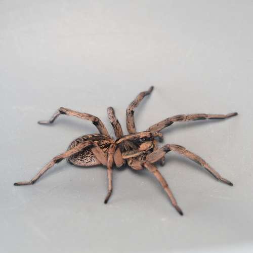
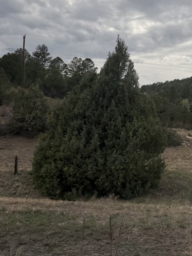
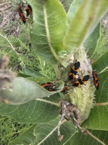
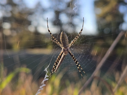
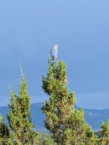
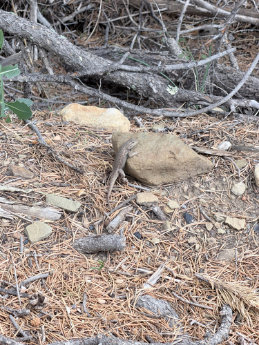
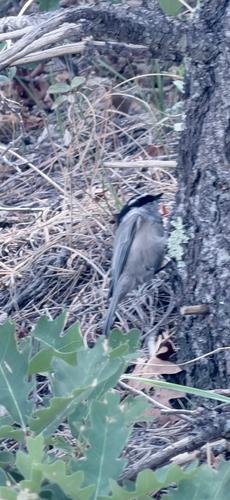
Research-grade observations from iNaturalist (within ~15 mi).
Nearest stream gauge
Events
Gallery
Sources
- • Wikipedia
- • NOAA National Weather Service
- • Wikidata
- • NCES via Urban Institute Education Data Portal
- • iNaturalist
- • Open-Meteo / sunrise-sunset.org
- • Wikipedia Pageviews API
- • Open Library
- • NASA EONET