Browse / United States / Colorado / Ward
Ward
Coloradotown

Ward
Total population
103
Median home value
$322,200
Bachelor's+
Median income
$56,875
Founded
1860
Demographic figures from US Census Bureau · ACS 5-year estimates. Overview below cites Wikipedia and may reference a different year.
City facts
Facts from Wikidata (CC0).
Overview
Ward is a home rule municipality in Boulder County, Colorado, United States. The population was 128 at the 2020 census. The town is a former mining settlement founded in 1860 in the wake of the discovery of gold at nearby Gold Hill. Once one of the richest towns in the state during the Colorado Gold Rush, it is located on a mountainside at the top of Left Hand Canyon, near the Peak to Peak Highway northwest of Boulder at an elevation of 9,450 feet (2,880 m) above sea level.
Read more on WikipediaHistory & geography
History
The town was named for Calvin Ward, who prospected a claim in 1860 on the site known as Miser's Dream. The town boomed the following year with the discovery by Cyrus W. Deardorff of the Columbia vein. Over the next several decades the population fluctuated, growing from several hundred to several thousand before declining once again. The mines in the area remained profitable for many decades, with one mine eventually producing over of silver. A post office with the name Ward District was established January 13, 1863; the name was changed to Ward, September 11, 1894. The city was incorporated in June 1896. The railroad reached the area in 1898, arriving over the Whiplash and Switzerland Trail, which climbed over from Boulder over the course of . In January 1900 over 50 buildings were destroyed by a devastating fire, although the profitability of the mines led to the immediate rebuilding of the town. The town was largely deserted by the 1920s, but the construction of the Peak-to-Peak Highway in the 1930s led to a revival of the town. During WWII the town's year-round population dropped to four people. Then, in the 1960s, the town's population jumped from between 10 and 20 year-round residents to well over 100 due to the town's interest to hippies. The town has several businesses along its main street, including a restaurant, a coffee shop, an art gallery, and general store.
Geography
According to the United States Census Bureau, the town has a total area of , all of it land.
Excerpted from the corresponding Wikipedia article (CC BY-SA).
Demographics & economy
Race & ethnicity
Source: US Census Bureau — American Community Survey, 5-year estimates.
Geography
Coordinates & boundaries from the US Census TIGER/Line shapefiles.
Climate
Current forecast
Forecast for Ward, CO from NOAA NWS API.
Air quality
Industrial & pollution facilities
Natural hazard risk
Health (adults)
Walkability
Amenities nearby
Wildlife & biodiversity
Most-observed species
- American RobinTurdus migratorius Linnaeus, 1766 · Aves12,227
- Steller's JayCyanocitta stelleri (Gmelin, 1788) · Aves12,108
- Dark-eyed JuncoJunco hyemalis (Linnaeus, 1758) · Aves11,225
- Mountain ChickadeePoecile gambeli (Ridgway, 1886) · Aves10,353
- Broad-tailed HummingbirdSelasphorus platycercus (Swainson, 1827) · Aves10,286
- Black-billed MagpiePica hudsonia (Sabine, 1823) · Aves9,995
- Northern FlickerColaptes auratus (Linnaeus, 1758) · Aves9,495
- Black-capped ChickadeePoecile atricapillus (Linnaeus, 1766) · Aves9,110
Citizen-science & research observations from the Global Biodiversity Information Facility (GBIF).
Schools
Earthquake history
Most recent
- M 2.7 — 2025-11-3015 km SSW of Walden, Colorado
- M 2.7 — 2025-06-137 km SE of Erie, Colorado
- M 2.5 — 2020-10-242 km ESE of Georgetown, Colorado
- M 2.9 — 2019-03-307 km NE of Greeley, Colorado
- M 2.6 — 2018-07-0317 km SW of Walden, Colorado
- M 2.7 — 2018-06-2116 km SSW of Walden, Colorado
Events from the USGS Earthquake Catalog (global) (FDSN Event Web Service).
Photos
Sights & places nearby
Notable people from here

People born within ~10 km, from Wikidata (CC0). Click any name for their Wikipedia article.
Nearby places in Colorado
Geography & sun
Elevation, sunrise/sunset and daylight from Open-Meteo. Solar climatology from NASA POWER.
Nearby airports
Public attention
Pageview totals from the Wikimedia Pageviews API.
Books about Ward

Search results from Open Library.
Recent natural events nearby
- Wildfire Moonshine, Albany, WyomingWildfires · 2026-09-07 · 130 mi
- Wildfire 310, Garfield, ColoradoWildfires · 2026-08-06 · 138 mi
- Wildfire Cold Springs, Converse, WyomingWildfires · 2026-08-10 · 183 mi
- Wildfire Swiss Roll, Archuleta, ColoradoWildfires · 2026-08-20 · 198 mi
- Wildfire Post, Las Animas, ColoradoWildfires · 2026-08-11 · 215 mi
- Wildfire Rio Blanco, Archuleta, ColoradoWildfires · 2026-07-28 · 219 mi
- Wildfire Slough Canyon, Grand, UtahWildfires · 2026-08-15 · 239 mi
- Wildfire WEISER KNOLL, Fremont, WyomingWildfires · 2026-08-09 · 239 mi
Wildfires, storms and other events from NASA EONET (last 12 months, within 250 mi).
Ground air-quality sensors
Recently spotted species
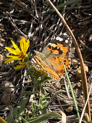
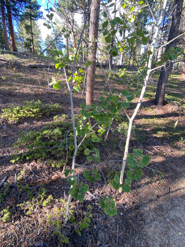
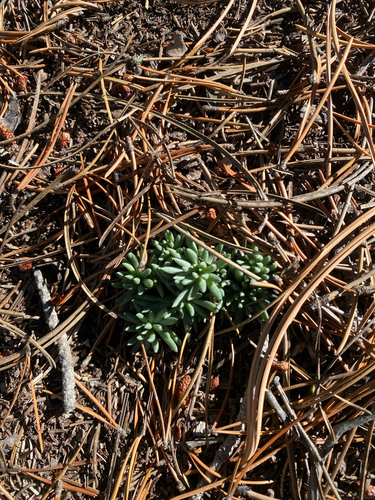
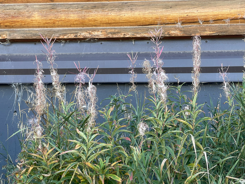
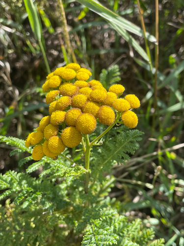
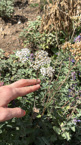
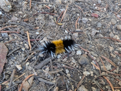
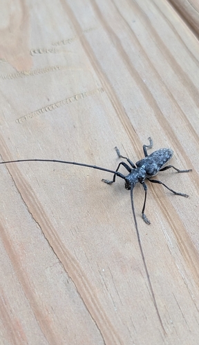
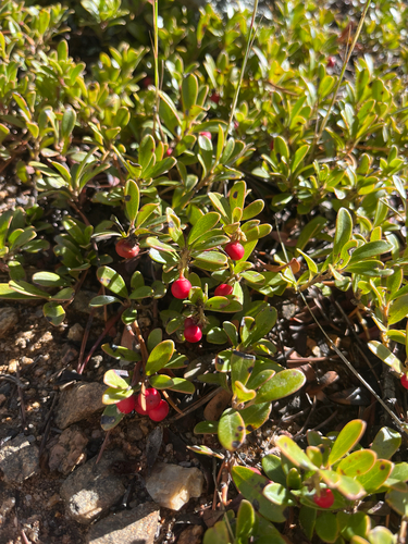
Research-grade observations from iNaturalist (within ~15 mi).
Nearest stream gauge
Events
Gallery
Sources
- • Wikipedia
- • US Census Bureau (ACS 5-year estimates)
- • NOAA National Weather Service
- • Wikidata
- • USGS Earthquake Catalog (global feed)
- • GBIF (Global Biodiversity Information Facility)
- • iNaturalist
- • Open-Meteo / sunrise-sunset.org
- • Wikipedia Pageviews API
- • Open Library
- • NASA EONET