Browse / Costa Rica / San José / Dulce Nombre de Jesús
Dulce Nombre de Jesús
San Josévillage
Air quality index
Demographic figures from INEC Costa Rica. Overview below cites Wikipedia and may reference a different year.
City facts
Overview
Situated in San José, Costa Rica, Dulce Nombre de Jesús is a village. Detailed population figures are not currently catalogued in the open data sources we track. Coordinates of 9.985°, -84.016° situate Dulce Nombre de Jesús in the equatorial zone of the northern hemisphere. The location receives about 1,879 kWh/m² of solar irradiance per year and sunshine for roughly 74% of daylight hours. Based on its equatorial position, residents likely encounter hot and humid year-round with little seasonal temperature variation. The remainder of this page draws on open public data to describe the area's demographics, climate, environment and nearby amenities.
Summary composed automatically from structured open data on this page. See our Terms for details.
History & geography
Geography
Coordinates & boundaries from the US Census TIGER/Line shapefiles.
Climate
Air quality
Current readings from Open-Meteo Air Quality API (Copernicus CAMS European reanalysis).
Walkability
Amenities nearby
Wildlife & biodiversity
Most-observed species
- Clay-colored ThrushTurdus grayi Bonaparte, 1838 · Aves34,837
- Rufous-collared SparrowZonotrichia capensis (P.L.S.Müller, 1776) · Aves30,887
- Great KiskadeePitangus sulphuratus (Linnaeus, 1766) · Aves30,811
- Great-tailed GrackleQuiscalus mexicanus (Gmelin, 1788) · Aves30,511
- Blue-gray TanagerThraupis episcopus (Linnaeus, 1766) · Aves30,388
- White-winged DoveZenaida asiatica (Linnaeus, 1758) · Aves29,969
- Tropical KingbirdTyrannus melancholicus Vieillot, 1819 · Aves28,448
- Rufous-tailed HummingbirdAmazilia tzacatl (de la Llave, 1833) · Aves26,130
Citizen-science & research observations from the Global Biodiversity Information Facility (GBIF).
Earthquake history
Most recent
- M 4.3 — 2026-08-017 km SE of Orosi, Costa Rica
- M 5.2 — 2026-07-0718 km NW of Jacó, Costa Rica
- M 4.1 — 2026-07-034 km SSE of San Rafael Abajo, Costa Rica
- M 3.2 — 2026-05-164 km SE of Jacó, Costa Rica
- M 3.2 — 2026-05-1410 km SSW of Jacó, Costa Rica
- M 4.4 — 2026-05-144 km SE of Jacó, Costa Rica
Events from the USGS Earthquake Catalog (global) (FDSN Event Web Service).
Photos
Sights & places nearby
Notable people from here


People born within ~10 km, from Wikidata (CC0). Click any name for their Wikipedia article.
Nearby places in San José
- San Antonio1.1 mi away
- Guayabal1.3 mi away
- Ipís1.3 mi away
- San Jerónimo1.5 mi away
- San Rafael1.7 mi away
- San Pedro1.9 mi away
- El Carmen2.1 mi away · pop. 22,000
- Purral2.3 mi away
- San Rafael2.8 mi away · pop. 9,692
- Granadilla3.5 mi away · pop. 20,000
- Guadalupe3.7 mi away · pop. 23,000
- Betania3.9 mi away · pop. 6,400
Geography & sun
Elevation, sunrise/sunset and daylight from Open-Meteo. Solar climatology from NASA POWER.
Nearby airports
Public attention
Books about this place
Recent natural events nearby
- Rincon de la Vieja Volcano, Costa RicaVolcanoes · 2026-04-27 · 107 mi
- Masaya Volcano, NicaraguaVolcanoes · 2026-04-26 · 201 mi
Wildfires, storms and other events from NASA EONET (last 12 months, within 250 mi).
Ground air-quality sensors
Recently spotted species
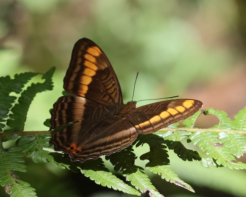
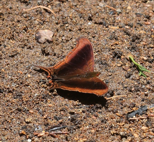
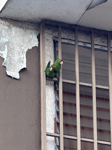
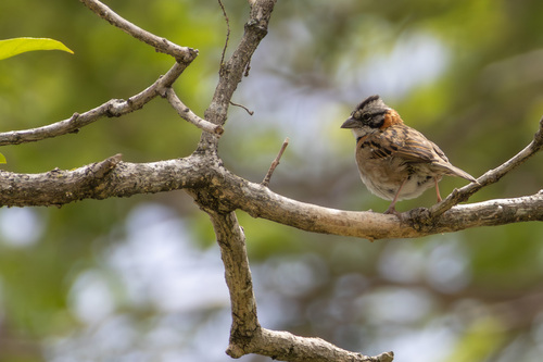
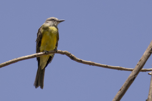

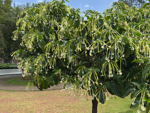
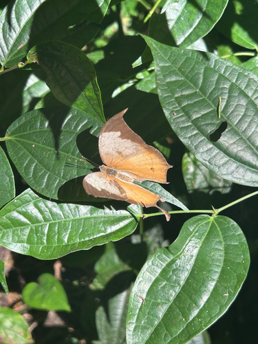
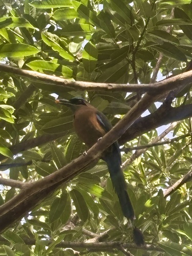
Research-grade observations from iNaturalist (within ~15 mi).
Events
Gallery
Sources
- • Wikidata
- • Open-Meteo Air Quality (CAMS)
- • USGS Earthquake Catalog (global feed)
- • GBIF (Global Biodiversity Information Facility)
- • iNaturalist
- • Open-Meteo / sunrise-sunset.org
- • NASA EONET