Browse / Costa Rica / Heredia / Santa Bárbara
Santa Bárbara
Herediatown

Santa Bárbara
Total population
7,000
Demographic figures from INEC Costa Rica. Overview below cites Wikipedia and may reference a different year.
City facts
Facts from Wikidata (CC0).
Overview
Santa Bárbara is one of the six districts that make up the canton of Santa Bárbara, Costa Rica. The district of Santa Bárbara is commonly referred to as Santa Bárbara de Heredia, and is the seat of the municipality of Santa Bárbara, and therefore awarded the title of city. It is an important commercial and transportation hub, approximately seven miles from the provincial capital of Heredia and five miles from the provincial capital of Alajuela.
Read more on WikipediaHistory & geography
History
Before the Spanish settlers came, Santa Bárbara was originally occupied by the Huetares, an indigenous tribe. The Huetare King, Cacique Garabito, dominated the area. When the Spanish arrived, they originally called the area Churruca or Surruco. Heredia, Barva, and Alajuela, three neighboring cities, were populated and settled in the late 1700s. As trade increased between the three cities, Santa Bárbara developed as a waypoint. Though still commonly referred to as Churruca or Surruco, the name for the municipality and canton of Santa Bárbara was first mentioned in documents from 1821. In September 1889, the city of Santa Bárbara was officially founded. It was first classified as a villa, but became a city as the population grew. Santa Bárbara's first public school opened in 1860 with cobbler Tomás Redondo giving the first lessons. The first official teacher was Diego Trejos. In 1896, the first electric lighting arrived in the district. A hydroelectric plant was built along the Porrosatí River, on the border of the districts of Santa Bárbara and San Juan in 1914. In 1911, running water pipes were installed in Santa Bárbara.
Geography
Santa Bárbara has an area of km² and an elevation of metres. The district of Santa Bárbara is the smallest district of the Santa Bárbara canton. With respect to the other districts, Santa Bárbara is the most central. Santa Bárbara is in the Cordillera Central. It is a potential disaster zone, like many other areas of Costa Rica. The elevation is approximately 1,140m meters above sea-level, within Cordillera Central . The Potrerillos River runs through the northwest side of the district while the Quebrada Cruz is the border between the Santa Bárbara and the district of San Juan de Santa Bárbara.
Excerpted from the corresponding Wikipedia article (CC BY-SA).
Geography
Coordinates & boundaries from the US Census TIGER/Line shapefiles.
Climate
Air quality
Walkability
Amenities nearby
Wildlife & biodiversity
Earthquake history
Photos
Sights & places nearby
Notable people from here


People born within ~10 km, from Wikidata (CC0). Click any name for their Wikipedia article.
Nearby places in Heredia
- Jesús0.9 mi away
- San Pedro0.9 mi away · pop. 7,400
- San Juan Abajo1.2 mi away
- Setillal1.2 mi away
- San Pedro1.6 mi away
- San Lorenzo1.7 mi away · pop. 9,000
- San Roque2.1 mi away
- San Joaquín2.4 mi away · pop. 8,400
- San Pablo2.4 mi away
- El Roble2.5 mi away
- Llorente2.6 mi away · pop. 12,000
- Barva2.6 mi away · pop. 6,000
Geography & sun
Elevation, sunrise/sunset and daylight from Open-Meteo. Solar climatology from NASA POWER.
Nearby airports
Public attention
Pageview totals from the Wikimedia Pageviews API.
Books about Santa Bárbara
Search results from Open Library.
Recent natural events nearby
Ground air-quality sensors
Recently spotted species
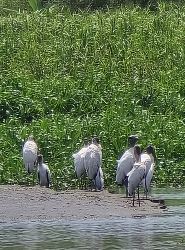
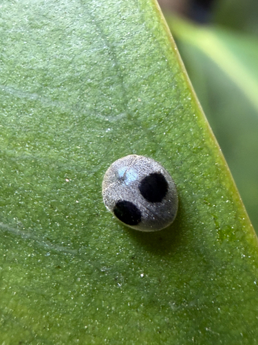
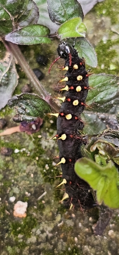
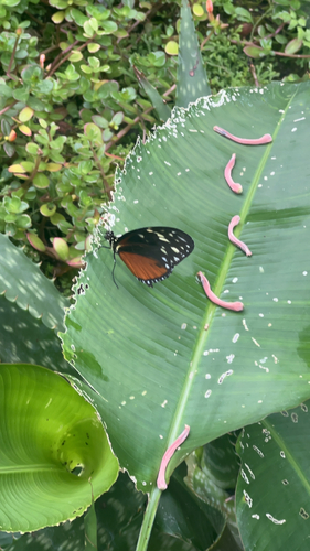
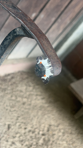
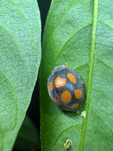
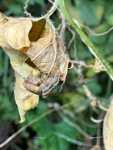
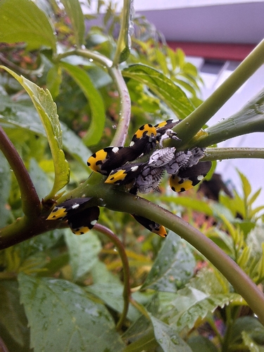
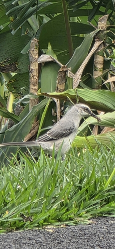
Research-grade observations from iNaturalist (within ~15 mi).
Events
Gallery
Sources
- • Wikipedia
- • Wikidata
- • iNaturalist
- • Open-Meteo / sunrise-sunset.org
- • Wikipedia Pageviews API
- • Open Library
- • Wikidata SPARQL (CC0) — population, area, elevation, inception, head of government, Commons image