Browse / United States / Connecticut / Danbury
Danbury
Connecticutcity

Danbury
Total population
88,683
Median home value
$440,200
Bachelor's+
Median income
$80,243
Founded
1702
Air quality index
Demographic figures from US Census Bureau · ACS 5-year estimates. Overview below cites Wikipedia and may reference a different year.
City facts
Sister cities
Facts from Wikidata (CC0).
Overview
Danbury is a city in Fairfield County, Connecticut, United States, located approximately 50 miles (80 km) northeast of New York City. Danbury's population as of 2020 was 86,518. It is the third-largest city in Western Connecticut, and the seventh-largest city in Connecticut. The city is part of the Western Connecticut Planning Region. Located within the heart of the Housatonic Valley region, the city is a historic commercial hub of western Connecticut, home to many commuters and summer residents from the New York metropolitan area and New England.
Read more on WikipediaHistory & geography
History
Danbury was settled by colonists in 1685, when eight families moved from what are now Norwalk and Stamford, Connecticut. The Danbury area was then called Pahquioque by its namesake, the Algonquian-speaking Pahquioque Native Americans (they are believed to have been a band of the Paugussett people), who occupied lands along the Still River. Bands were often identified by such geographic designation but they were associated with the larger nation by culture and language). One of the original settlers in Danbury was Samuel Benedict, who bought land from the Paquioque in 1685, along with his brother James Benedict, James Beebe, and Judah Gregory. This area was also called Paquiack ("open plain" or "cleared land") by the Paquioque. In recognition of the wetlands, the settlers chose the name Swampfield for their town. In October 1687, the general court decreed the name Danbury. The general court appointed a committee to lay out the new town's boundaries. A survey was made in 1693, and a formal town patent was granted in 1702. It was named Danbury by governor Robert Treat after the Danbury parish in Essex. During the Revolutionary War, Danbury was an important military supply depot for the Continental Army. Sybil Ludington, 16-year-old daughter of American Colonel Henry Ludington, is said to have made a 40-mile ride in the early hours of the night on April 26, 1777, to warn the people of Danbury and her father's forces in Putnam County, New York, of the approach of British regulars, helping them muster in defense; these accounts, originating from the Ludington family, are questioned by modern scholars. During the following day on April 26, 1777, the British, under Major General William Tryon, burned and sacked Danbury, but fatalities were limited due to Ludington's…
Geography
According to the United States Census Bureau, Danbury has a total area of , of which is land and , or 4.94%, is water. The city is located in the foothills of the Berkshire Mountains on low-lying land just south of Candlewood Lake (the City includes the southern parts of the lake). It developed along the Still River, which flows generally from west to east through the city before joining the Housatonic River. The city's terrain includes rolling hills and not-very-tall mountains to the west and northwest called the Western Highland. Ground elevations in the city range from 378 feet to 1,050 feet above sea level. A geologic fault known as Cameron's Line runs through Danbury. The hatmaking fur-removal process was based on the use of mercury nitrate. The waste caused serious water pollution as the hat manufacturers dumped it into the Still River throughout the late 19th century and into the 1940s. This toxic product flowed into the Housatonic River and Long Island Sound, affecting water quality and various fish and other organisms. Field studies conducted in the Still River basin in the 21st century have detected the continuing presence of high levels of mercury in the river sediments and nearby soils.) down to on February 9, 1934.
Excerpted from the corresponding Wikipedia article (CC BY-SA).
Demographics & economy
Race & ethnicity
Source: US Census Bureau — American Community Survey, 5-year estimates.
Geography
Coordinates & boundaries from the US Census TIGER/Line shapefiles.
Climate
Current forecast
Forecast for Danbury, CT from NOAA NWS API.
Air quality
Current readings from Open-Meteo Air Quality API (Copernicus CAMS European reanalysis).
Industrial & pollution facilities
Natural hazard risk
Health (adults)
Age-adjusted prevalence estimates from CDC PLACES (latest release).
Walkability
Amenities nearby
Wildlife & biodiversity
Most-observed species
- Tufted TitmouseBaeolophus bicolor (Linnaeus, 1766) · Aves15,174
- Black-capped ChickadeePoecile atricapillus (Linnaeus, 1766) · Aves14,950
- Northern CardinalCardinalis cardinalis (Linnaeus, 1758) · Aves14,488
- Song SparrowMelospiza melodia (A.Wilson, 1810) · Aves13,637
- Blue JayCyanocitta cristata (Linnaeus, 1758) · Aves12,489
- American GoldfinchSpinus tristis (Linnaeus, 1758) · Aves12,338
- Downy WoodpeckerDryobates pubescens (Linnaeus, 1766) · Aves11,559
- White-breasted NuthatchSitta carolinensis Latham, 1790 · Aves11,379
Citizen-science & research observations from the Global Biodiversity Information Facility (GBIF).
Schools
Largest nearby schools
- Danbury High SchoolHigh · Danbury · 3,590 students · 15.4:1 ratio
- Ridgefield High SchoolHigh · Ridgefield · 1,474 students · 12:1 ratio
- New Milford High SchoolHigh · New Milford · 1,247 students · 12:1 ratio
- Bethel High SchoolHigh · Bethel · 1,063 students · 12.7:1 ratio
- Broadview Middle SchoolMiddle · Danbury · 1,026 students · 12.2:1 ratio
- Rogers Park Middle SchoolMiddle · Danbury · 950 students · 12:1 ratio
- Brookfield High SchoolHigh · Brookfield · 871 students · 12.8:1 ratio
- Whisconier Middle SchoolMiddle · Brookfield · 782 students · 11.5:1 ratio
Public K–12 schools within ~10 mi from Urban Institute Education Data Portal (NCES Common Core of Data, 2022).
Earthquake history
Most recent
- M 2.8 — 2025-08-051 km N of Hillsdale, New Jersey
- M 3 — 2025-08-030 km W of Little Ferry, New Jersey
- M 2.66 — 2014-08-146 km SW of Deep River Center, Connecticut
- M 2.6 — 2001-10-271 km NNW of Manhattan, New York
Events from the USGS Earthquake Catalog (global) (FDSN Event Web Service).
Photos
Sights & places nearby
Notable people from here


People born within ~10 km, from Wikidata (CC0). Click any name for their Wikipedia article.
Nearby places in Connecticut
- Lakes West4.7 mi away
- Bigelow Corners4.8 mi away
- Ball Pond5 mi away
- Candlewood Orchards5.5 mi away
- Route 7 Gateway5.5 mi away
- Candlewood Knolls5.6 mi away
- Candlewood Shores6 mi away
- Mamanasco Lake6.2 mi away
- Candlewood Isle6.3 mi away
- Candlewood Lake Club6.9 mi away
- Hawleyville6.9 mi away
- Knollcrest7.1 mi away
Geography & sun
Elevation, sunrise/sunset and daylight from Open-Meteo. Solar climatology from NASA POWER.
Nearby airports
Public attention
Pageview totals from the Wikimedia Pageviews API.
Books about Danbury
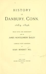
Search results from Open Library.
Recent natural events nearby
Ground air-quality sensors
Recently spotted species
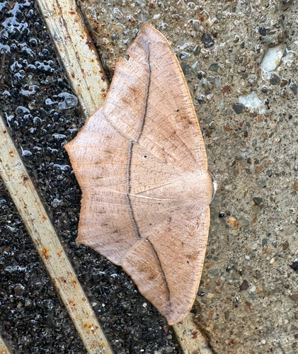
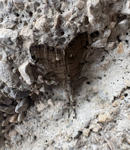
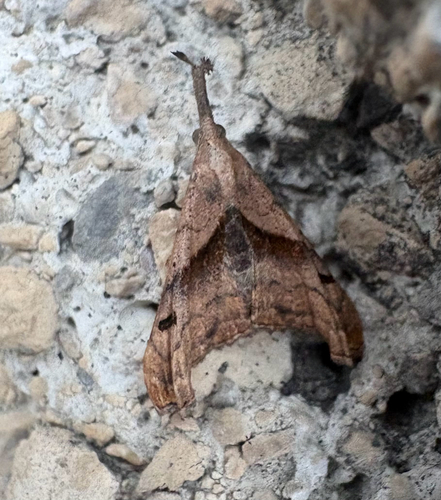
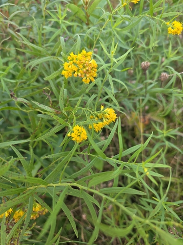
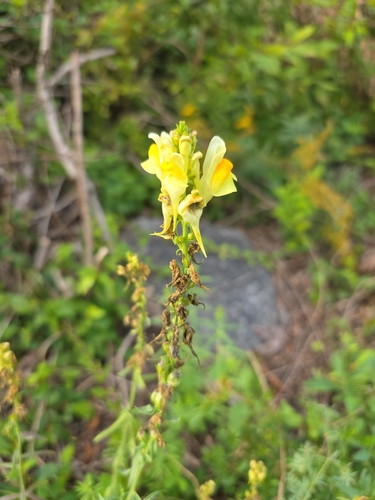
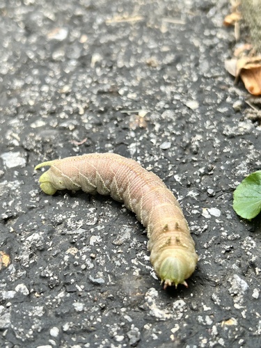

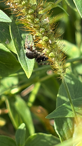
Research-grade observations from iNaturalist (within ~15 mi).
Nearest stream gauge
Events
Gallery
Sources
- • Wikipedia
- • US Census Bureau (ACS 5-year estimates)
- • NOAA National Weather Service
- • Wikidata
- • Open-Meteo Air Quality (CAMS)
- • USGS Earthquake Catalog (global feed)
- • NCES via Urban Institute Education Data Portal
- • GBIF (Global Biodiversity Information Facility)
- • iNaturalist
- • CDC PLACES
- • Open-Meteo / sunrise-sunset.org
- • Wikipedia Pageviews API
- • Open Library