Browse / United States / Connecticut / Derby
Derby
Connecticutcity

Derby
Total population
12,487
Median home value
$256,700
Bachelor's+
Median income
$79,500
Founded
1675
Demographic figures from US Census Bureau · ACS 5-year estimates. Overview below cites Wikipedia and may reference a different year.
- Wind Advisory · ModerateWind Advisory issued September 25 at 2:48PM EDT until September 27 at 6:00AM EDT by NWS Upton NY
Source: NOAA National Weather Service.
City facts
Facts from Wikidata (CC0).
Overview
Derby is a city in New Haven County, Connecticut, United States, approximately 8 miles (13 km) west-northwest of New Haven. It is located in southwest Connecticut at the confluence of the Housatonic and Naugatuck rivers. It shares borders with the cities of Ansonia to the north and Shelton to the southwest, and the towns of Orange to the south, Seymour to the northwest, and Woodbridge to the east. The city is part of the Naugatuck Valley Planning Region. The population was 12,325 at the 2020 census. It is the smallest city in Connecticut by area, at 5.3 square miles (14 km2).
Read more on WikipediaHistory & geography
History
Derby was settled in 1642 as an Indian trading post under the name Paugasset by John Wakeman of New Haven, though fur traders had been in the area before and Native Americans had lived there for centuries. In 1651, the first year-round houses were completed, at which time the New Haven Colony had recognized Paugasset as a town. The residents of the town of Milford protested Paugasset's recognition as an independent town and, as a result, the order was rescinded and Paugasset returned to the Milford jurisdiction. In 1675, the former plantation of Paugasset was admitted as the township of Derby by the state legislature, named after Derby, England. Derby was incorporated on May 13, 1775. In 1836, the Colman brothers began the Birmingham Iron Foundry on the corner of Main Street and Water Street. It employed between 100 and 125 people, and was one of the many manufacturing businesses thriving in the city in the 1800s. In 1927, the company merged with Farrel Corporation of nearby Ansonia and was renamed Farrel-Birmingham Corporation. The Derby facility closed and was razed in 2000 to make way for a Home Depot. The Ansonia division is still in business, and opened their new plant in the Fountain Lake Commerce Park in 2017. In the 19th century, corsets and hoop skirts were manufactured in the city. The Kraus Corset Factory is the oldest major factory building to survive from Derby's corset manufacturing period. It was built by Sidney A. Downs, opened in 1879, and expanded in 1910. In 1987 it was added to the National Register of Historic Places. In the 1990s it was converted to apartments and underwent a second addition; a first floor parking garage and three stories of apartments were added on the north side along Roosevelt Drive (Connecticut Route 34). In 1872, the Derby…
Geography
According to the United States Census Bureau, the town has a total area of 5.4 square miles (8.7 km2), of which is land and (7.41%) is water. The city is home to the Osbornedale State Park. Derby is divided into two main sections by the Naugatuck River: East Derby and Derby Center (Birmingham). The center of Derby is approximately from New York City. The lowest elevation is 3 ft (1m) and the highest elevation is 466 ft (142m) above sea level.
Excerpted from the corresponding Wikipedia article (CC BY-SA).
Demographics & economy
Race & ethnicity
Source: US Census Bureau — American Community Survey, 5-year estimates.
Geography
Coordinates & boundaries from the US Census TIGER/Line shapefiles.
Climate
Current forecast
Forecast for Derby, CT from NOAA NWS API.
Air quality
Industrial & pollution facilities
Natural hazard risk
Health (adults)
Age-adjusted prevalence estimates from CDC PLACES (latest release).
Walkability
Amenities nearby
Wildlife & biodiversity
Schools
Earthquake history
Photos
Sights & places nearby
Notable people from here


People born within ~10 km, from Wikidata (CC0). Click any name for their Wikipedia article.
Nearby places in Connecticut
- Trumbull Center7.8 mi away · pop. 10,264
- Stepney9.6 mi away · pop. 3,979
- Tashua9.6 mi away · pop. 3,771
- Naugatuck11.3 mi away
- Quinnipiac University11.8 mi away · pop. 4,311
- North Haven12.3 mi away · pop. 24,336
- Murray14 mi away · pop. 503
- Cheshire Village15.6 mi away
- Southport17 mi away · pop. 1,568
- Oakville18.2 mi away · pop. 9,276
- Poplar Plains18.8 mi away · pop. 1,141
- Candlewood Orchards21 mi away
Geography & sun
Elevation, sunrise/sunset and daylight from Open-Meteo. Solar climatology from NASA POWER.
Nearby airports
Public attention
Pageview totals from the Wikimedia Pageviews API.
Books about Derby

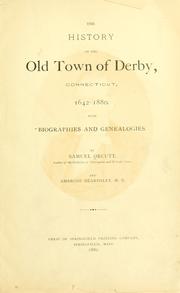
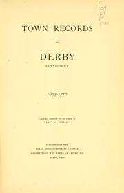

Search results from Open Library.
Recent natural events nearby
Ground air-quality sensors
Recently spotted species
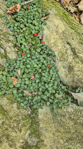
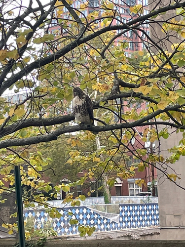
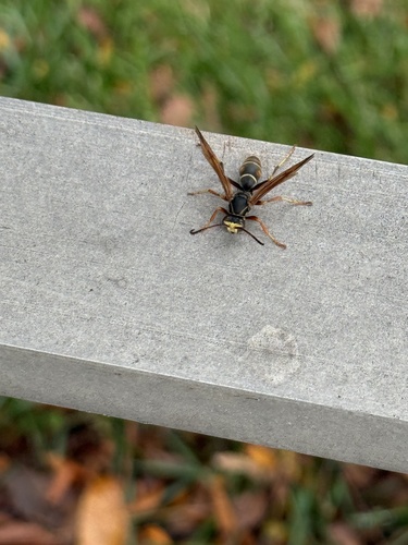
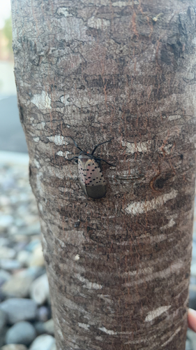
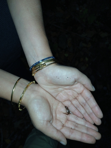
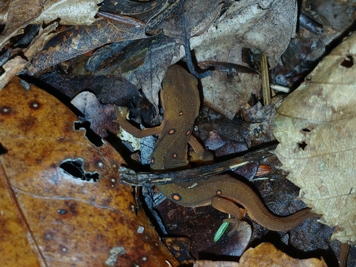

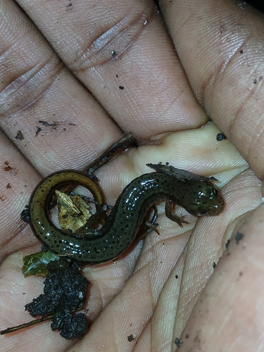

Research-grade observations from iNaturalist (within ~15 mi).
Nearest stream gauge
Live readings from USGS NWIS · measured 2026-10-13 15:30 UTC.
Events
Gallery
Sources
- • Wikipedia
- • US Census Bureau (ACS 5-year estimates)
- • NOAA National Weather Service
- • Wikidata
- • USGS NWIS (water data)
- • iNaturalist
- • CDC PLACES
- • Open-Meteo / sunrise-sunset.org
- • Wikipedia Pageviews API
- • Open Library