Browse / United States / Connecticut / Durham
Durham
ConnecticutCDP

Durham
Total population
3,347
Median home value
$401,700
Bachelor's+
Median income
$152,396
Founded
1699
Demographic figures from US Census Bureau · ACS 5-year estimates. Overview below cites Wikipedia and may reference a different year.
City facts
Facts from Wikidata (CC0).
Overview
Durham is a town in Middlesex County, Connecticut, United States. Durham is a former farming village on the Coginchaug River in central Connecticut. The town is part of the Lower Connecticut River Valley Planning Region. The population was 7,152 at the 2020 census. Every autumn, the town hosts the Durham Fair, the largest volunteer agricultural fair in New England.
Read more on WikipediaHistory & geography
History
Before European settlers arrived, the Coginchaug area was a Native American hunting ground. European settlers purchased tracts of land from the Mattabesset (Wangunk) tribe around 1662. These later became part of Durham, which was incorporated in 1708. The settlement was named after Durham, England. It took land from Guilford and Haddam. Durham has one of the first public libraries in the United States. It was founded in 1733, two years after Benjamin Franklin started the Philadelphia library. Moses Austin who, along with his son Stephen F. Austin, began the settlement of Spanish and Mexican Texas by Anglo-Americans, was born in Durham in 1761. In the 1830s Durham came to prominence as the birthplace of Richard P. Robinson, who was tried for and acquitted of the infamous murder of Helen Jewett.
Geography
According to the United States Census Bureau, the town has a total area of , of which is land and 0.2 square mile (40 ha or 0.67%) is water. The town center CDP has a total area of , of which is land and 0.16% is water. The west side of Durham is flanked by the Metacomet Ridge, a mountainous trap rock ridgeline that stretches from Long Island Sound to nearly the Vermont border. Notable features of the Metacomet ridge in Durham include Trimountain, Fowler Mountain, Pistapaug Mountain, and the northern tip of Totoket Mountain. The 50-mile (80-kilometer) Mattabesett Trail traverses the ridge. Miller's Pond State Park is located within the town.
Excerpted from the corresponding Wikipedia article (CC BY-SA).
Demographics & economy
Race & ethnicity
Source: US Census Bureau — American Community Survey, 5-year estimates.
Geography
Coordinates & boundaries from the US Census TIGER/Line shapefiles.
Climate
Current forecast
Forecast for Durham, CT from NOAA NWS API.
Air quality
Industrial & pollution facilities
Natural hazard risk
Health (adults)
Age-adjusted prevalence estimates from CDC PLACES (latest release).
Walkability
Amenities nearby
Wildlife & biodiversity
Most-observed species
- Blue JayCyanocitta cristata (Linnaeus, 1758) · Aves20,898
- Northern CardinalCardinalis cardinalis (Linnaeus, 1758) · Aves19,850
- American RobinTurdus migratorius Linnaeus, 1766 · Aves18,286
- Tufted TitmouseBaeolophus bicolor (Linnaeus, 1766) · Aves17,408
- Black-capped ChickadeePoecile atricapillus (Linnaeus, 1766) · Aves16,422
- Red-bellied WoodpeckerMelanerpes carolinus (Linnaeus, 1758) · Aves16,200
- Downy WoodpeckerDryobates pubescens (Linnaeus, 1766) · Aves15,732
- Mourning DoveZenaida macroura (Linnaeus, 1758) · Aves15,466
Citizen-science & research observations from the Global Biodiversity Information Facility (GBIF).
Schools
Largest nearby schools
- Middletown High SchoolHigh · Middletown · 1,214 students · 11.3:1 ratio
- Beman Middle SchoolMiddle · Middletown · 968 students · 10.9:1 ratio
- Haddam-Killingworth High SchoolHigh · Higganum · 546 students · 10.7:1 ratio
- Vinal Technical High SchoolHigh · Middletown · 529 students · 10.6:1 ratio
- Haddam-Killingworth Middle SchoolMiddle · Killingworth · 399 students · 10:1 ratio
- Coginchaug Regional High SchoolHigh · Durham · 384 students · 9.6:1 ratio
- Snow SchoolElementary · Middletown · 332 students · 15.1:1 ratio
- Burr District Elementary SchoolElementary · Higganum · 331 students · 11.8:1 ratio
Public K–12 schools within ~10 mi from Urban Institute Education Data Portal (NCES Common Core of Data, 2022).
Earthquake history
Most recent
- M 2.6 — 2015-01-132 km E of Wauregan, Connecticut
- M 3.3 — 2015-01-120 km NE of Wauregan, Connecticut
- M 2.66 — 2014-08-146 km SW of Deep River Center, Connecticut
Events from the USGS Earthquake Catalog (global) (FDSN Event Web Service).
Photos
Sights & places nearby
Notable people from here


People born within ~10 km, from Wikidata (CC0). Click any name for their Wikipedia article.
Nearby places in Connecticut
- Higganum6.7 mi away
- Wallingford Center7.1 mi away
- Northford7.2 mi away
- Portland8.2 mi away · pop. 5,944
- North Haven10.8 mi away
- Cheshire Village11.3 mi away
- Quinnipiac University11.3 mi away
- Chester Center12.6 mi away
- East Hampton12.6 mi away
- Guilford Center13 mi away
- Lake Pocotopaug13.2 mi away
- Madison Center13.7 mi away
Geography & sun
Elevation, sunrise/sunset and daylight from Open-Meteo. Solar climatology from NASA POWER.
Nearby airports
Public attention
Pageview totals from the Wikimedia Pageviews API.
Books about Durham

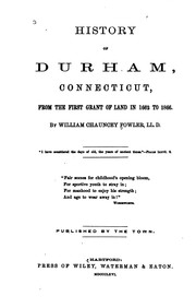
Search results from Open Library.
Recent natural events nearby
Ground air-quality sensors
Recently spotted species
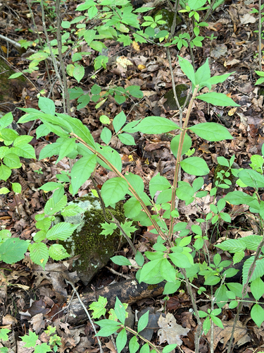




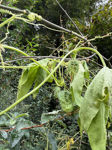
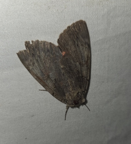
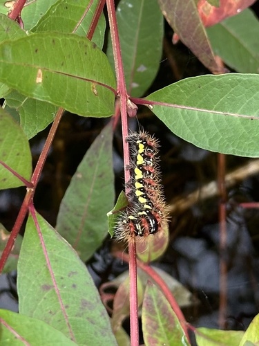
Research-grade observations from iNaturalist (within ~15 mi).
Nearest stream gauge
Events
Gallery
Sources
- • Wikipedia
- • US Census Bureau (ACS 5-year estimates)
- • NOAA National Weather Service
- • Wikidata
- • USGS Earthquake Catalog (global feed)
- • NCES via Urban Institute Education Data Portal
- • GBIF (Global Biodiversity Information Facility)
- • iNaturalist
- • CDC PLACES
- • Open-Meteo / sunrise-sunset.org
- • Wikipedia Pageviews API
- • Open Library