Browse / United States / Connecticut / Hazardville
Hazardville
ConnecticutCDP

Hazardville
Total population
6,022
Median home value
$242,900
Bachelor's+
Median income
$81,893
Demographic figures from US Census Bureau · ACS 5-year estimates. Overview below cites Wikipedia and may reference a different year.
- Wind Advisory · ModerateWind Advisory issued September 24 at 1:46PM EDT until September 27 at 2:00AM EDT by NWS Boston/Norton MA
Source: NOAA National Weather Service.
City facts
Facts from Wikidata (CC0).
Overview
Hazardville is a section of the town of Enfield, Connecticut, United States, in Hartford County. It is a census-designated place (CDP) that had a population of 6,870 as of the 2020 census.
Read more on WikipediaHistory & geography
History
Hazardville originated as an industrial village centered around the manufacture of gunpowder using water power from the Scantic River. The first small black powder mill was established in 1835 by Allen Loomis in an area then known as Powder Hollow. This became the Hazard Powder Company. Hazardville takes its name from Colonel Augustus George Hazard. A area in and near Hazardville was listed on the National Register of Historic Places in 1980 as the Hazardville Historic District. The district is an irregularly shaped area that surrounds two interior areas that are not historical and are not included in the district. The district is focused on resources associated with the powder works, and includes industrial archaeological resources on either side of the Scantic River.
Geography
The Hazardville CDP includes, in addition to the original Hazardville village, newer suburban developments east of the Central New England Railroad line to the Somers town line. According to the United States Census Bureau, the CDP has a total area of , all land. One parcel of the Scantic River State Park is in the Powder Hollow portion of Hazardville.
Excerpted from the corresponding Wikipedia article (CC BY-SA).
Demographics & economy
Race & ethnicity
Source: US Census Bureau — American Community Survey, 5-year estimates.
Geography
Coordinates & boundaries from the US Census TIGER/Line shapefiles.
Climate
Current forecast
Forecast for Hazardville, CT from NOAA NWS API.
Air quality
Industrial & pollution facilities
Natural hazard risk
Health (adults)
Age-adjusted prevalence estimates from CDC PLACES (latest release).
Walkability
Amenities nearby
Wildlife & biodiversity
Most-observed species
- Blue JayCyanocitta cristata (Linnaeus, 1758) · Aves23,713
- American RobinTurdus migratorius Linnaeus, 1766 · Aves20,783
- Northern CardinalCardinalis cardinalis (Linnaeus, 1758) · Aves19,942
- Mourning DoveZenaida macroura (Linnaeus, 1758) · Aves19,929
- House SparrowPasser domesticus (Linnaeus, 1758) · Aves19,434
- Red-bellied WoodpeckerMelanerpes carolinus (Linnaeus, 1758) · Aves17,171
- Black-capped ChickadeePoecile atricapillus (Linnaeus, 1766) · Aves16,467
- Tufted TitmouseBaeolophus bicolor (Linnaeus, 1766) · Aves16,012
Citizen-science & research observations from the Global Biodiversity Information Facility (GBIF).
Schools
Largest nearby schools
- Enfield High SchoolHigh · Enfield · 1,490 students · 12:1 ratio
- John F. Kennedy Middle SchoolMiddle · Enfield · 1,096 students · 10.9:1 ratio
- Rockville High SchoolHigh · Vernon · 932 students · 11.2:1 ratio
- Academy of Aerospace and EngineeringHigh · Windsor · 768 students · 13:1 ratio
- Ellington High SchoolHigh · Ellington · 737 students · 11.2:1 ratio
- Suffield High SchoolHigh · West Suffield · 676 students · 10.9:1 ratio
- Somers Elementary SchoolElementary · Somers · 649 students · 12:1 ratio
- Windermere SchoolElementary · Ellington · 644 students · 12.6:1 ratio
Public K–12 schools within ~10 mi from Urban Institute Education Data Portal (NCES Common Core of Data, 2022).
Earthquake history
Most recent
- M 2.6 — 2015-01-132 km E of Wauregan, Connecticut
- M 3.3 — 2015-01-120 km NE of Wauregan, Connecticut
- M 2.66 — 2014-08-146 km SW of Deep River Center, Connecticut
- M 2.5 — 2002-06-073 km NNW of Hopedale, Massachusetts
Events from the USGS Earthquake Catalog (global) (FDSN Event Web Service).
Photos
Sights & places nearby
Notable people from here


People born within ~10 km, from Wikidata (CC0). Click any name for their Wikipedia article.
Nearby places in Connecticut
- Thompsonville3.3 mi away · pop. 7,927
- Windsor Locks7.5 mi away · pop. 12,579
- Stafford Springs11.7 mi away · pop. 4,649
- Coventry Lake17.8 mi away · pop. 2,647
- Weatogue18.2 mi away · pop. 2,672
- Witches Woods23.7 mi away · pop. 382
- Terramuggus24.9 mi away
- Willimantic25.1 mi away
- East Hampton28.9 mi away · pop. 3,347
- Portland28.9 mi away · pop. 5,944
- Quinebaug31.1 mi away · pop. 1,193
- Northwest Harwinton31.8 mi away · pop. 3,088
Geography & sun
Elevation, sunrise/sunset and daylight from Open-Meteo. Solar climatology from NASA POWER.
Nearby airports
Public attention
Pageview totals from the Wikimedia Pageviews API.
Books about this place
Recent natural events nearby
Ground air-quality sensors
Recently spotted species
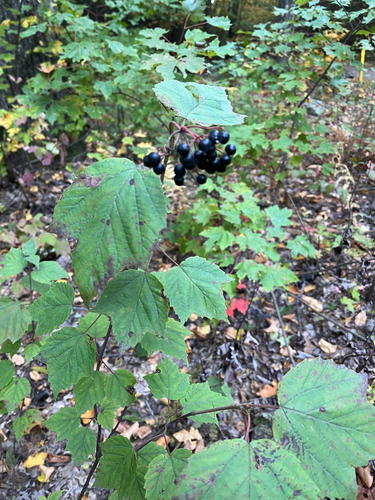
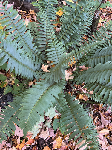
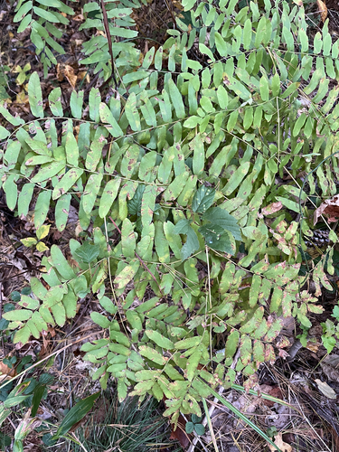
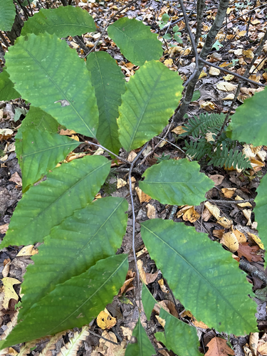
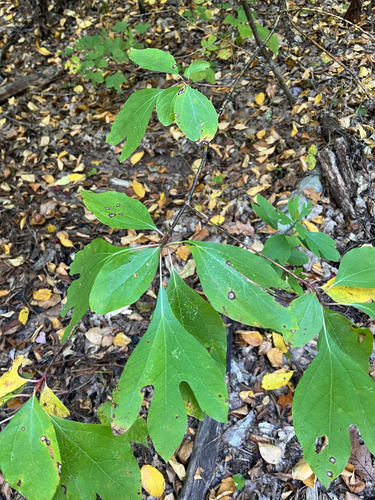
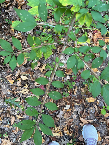
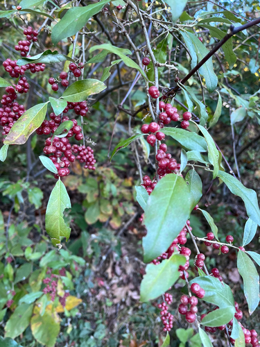
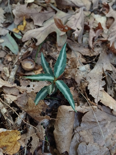

Research-grade observations from iNaturalist (within ~15 mi).
Nearest stream gauge
Live readings from USGS NWIS · measured 2026-09-27 18:00 UTC.
Events
Gallery
Sources
- • Wikipedia
- • US Census Bureau (ACS 5-year estimates)
- • NOAA National Weather Service
- • Wikidata
- • USGS Earthquake Catalog (global feed)
- • USGS NWIS (water data)
- • NCES via Urban Institute Education Data Portal
- • GBIF (Global Biodiversity Information Facility)
- • iNaturalist
- • CDC PLACES
- • Open-Meteo / sunrise-sunset.org
- • Wikipedia Pageviews API