Browse / United States / Connecticut / Stamford
Stamford
Connecticutcity

Stamford
Total population
139,112
Median home value
$671,000
Bachelor's+
Median income
$117,627
Founded
1641
Demographic figures from US Census Bureau · ACS 5-year estimates. Overview below cites Wikipedia and may reference a different year.
City facts
Sister cities
Facts from Wikidata (CC0).
Overview
Stamford is a city in Fairfield County, Connecticut, United States, 34 miles outside of New York City. It is the sixth-most populous city in New England. Stamford is also the largest city in the Western Connecticut Planning Region, and Connecticut's second-most populous city, behind Bridgeport. With a population of 135,470, Stamford surpassed Hartford and New Haven in population as of the 2020 census. It is in the Bridgeport–Stamford–Danbury metropolitan statistical area, which is part of the New York City metropolitan area.
Read more on WikipediaHistory & geography
Geography
According to the U.S. Census Bureau, the city has an area of , of which is land and is water. Stamford is the state's largest city by area. The population density was in 2010. The city is halfway between Manhattan and New Haven at approximately from each; it is from the state capital of Hartford. Stamford is near the southwestern point of Connecticut, on Long Island Sound. It is part of the Gold Coast. Stamford comprises approximately 45 distinct neighborhoods and villages, and two historic districts, including Cove, East Side, Downtown, North Stamford, Glenbrook, West Side, Turn of River, Waterside, Springdale, Belltown, Ridgeway, Newfield, South End, Westover, Shippan, Roxbury, and Palmers Hill. North of the Merritt Parkway is considered the North Stamford section of the city, encompassing its largest land mass though it is the least densely populated. North Stamford functionally and legally acts as one municipality with the city of Stamford. Stamford borders Pound Ridge, New York to the north, the Long Island Sound to the south, Greenwich to the west, Darien to the east, and New Canaan to the northeast. The city has islands in Long Island Sound: Cove Island, Grass Island, Greenway Island, Jack Island, and Cuties Island (also known as Vincent Island). Cove Island is a prominent beach and recreation area. Stamford is the only city in the United States from which one can cross the border into the same neighboring state (New York) by going due north, due east, due south and due west. Under the Köppen climate classification, Stamford has a temperate climate (Cfa), with long, hot summers (up to 84.8 °F or 29.3 °C), and cool to cold winters (as low as 22.2 °F or -5.4 °C), with precipitation spread fairly evenly throughout the year (ranges from…
Excerpted from the corresponding Wikipedia article (CC BY-SA).
Demographics & economy
Race & ethnicity
Source: US Census Bureau — American Community Survey, 5-year estimates.
Geography
Coordinates & boundaries from the US Census TIGER/Line shapefiles.
Climate
Current forecast
Forecast for Stamford, CT from NOAA NWS API.
Air quality
Industrial & pollution facilities
Natural hazard risk
Health (adults)
Age-adjusted prevalence estimates from CDC PLACES (latest release).
Walkability
Amenities nearby
Wildlife & biodiversity
Schools
Largest nearby schools
- Greenwich High SchoolHigh · Greenwich · 2,668 students · 12.7:1 ratio
- Westhill High SchoolHigh · Stamford · 2,265 students · 12:1 ratio
- Stamford High SchoolHigh · Stamford · 2,048 students · 11.3:1 ratio
- Brien McMahon High SchoolHigh · Norwalk · 1,711 students · 14.4:1 ratio
- Norwalk High SchoolHigh · Norwalk · 1,484 students · 13.3:1 ratio
- Darien High SchoolHigh · Darien · 1,415 students · 11.4:1 ratio
- Saxe Middle SchoolMiddle · New Canaan · 1,315 students · 11.3:1 ratio
- New Canaan High SchoolHigh · New Canaan · 1,294 students · 12.3:1 ratio
Public K–12 schools within ~10 mi from Urban Institute Education Data Portal (NCES Common Core of Data, 2022).
Earthquake history
Photos
Sights & places nearby
Notable people from here


People born within ~10 km, from Wikidata (CC0). Click any name for their Wikipedia article.
Nearby places in Connecticut
Geography & sun
Elevation, sunrise/sunset and daylight from Open-Meteo. Solar climatology from NASA POWER.
Nearby airports
Public attention
Pageview totals from the Wikimedia Pageviews API.
Books about Stamford


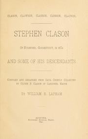
Search results from Open Library.
Recent natural events nearby
Ground air-quality sensors
Recently spotted species
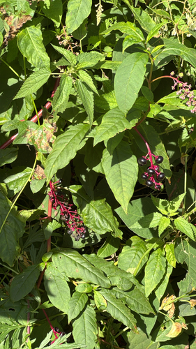
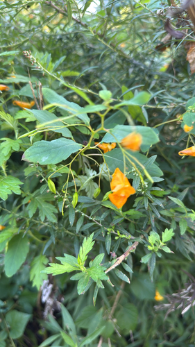
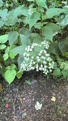

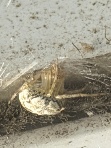
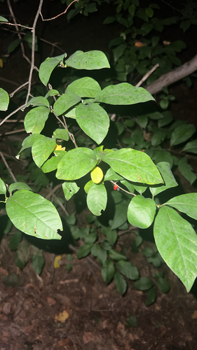

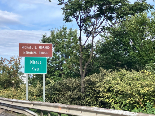
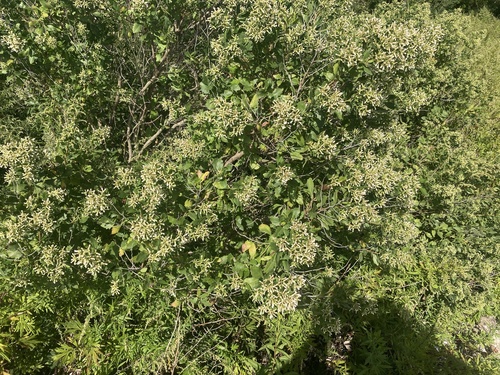
Research-grade observations from iNaturalist (within ~15 mi).
Nearest stream gauge
Events
Gallery
Sources
- • Wikipedia
- • US Census Bureau (ACS 5-year estimates)
- • NOAA National Weather Service
- • Wikidata
- • NCES via Urban Institute Education Data Portal
- • iNaturalist
- • CDC PLACES
- • Open-Meteo / sunrise-sunset.org
- • Wikipedia Pageviews API
- • Open Library