Browse / United States / Connecticut / Thomaston
Thomaston
ConnecticutCDP

Thomaston
Total population
1,988
Founded
1875
Demographic figures from US Census Bureau · ACS 5-year estimates. Overview below cites Wikipedia and may reference a different year.
- Wind Advisory · ModerateWind Advisory issued September 25 at 1:57PM EDT until September 27 at 8:00AM EDT by NWS Albany NY
Source: NOAA National Weather Service.
City facts
Facts from Wikidata (CC0).
Overview
Thomaston is a town in Litchfield County, Connecticut, United States. The town is part of the Naugatuck Valley Planning Region. The population was 7,442 at the 2020 census. The urban center of the town is the Thomaston census-designated place, with a population of 1,928 at the 2020 census.
Read more on WikipediaHistory & geography
History
The town, originally part of the town of Plymouth and referred to as "Plymouth Hollow", was first settled by Henry Cook ("the soldier in the wilderness", 1683–1750) around 1728. The town is known for clockmaking, which started in 1803, when Eli Terry established a factory in the town. Terry brought mass production to the clockmaking industry, helping to reduce the cost of clocks. He introduced and patented the shelf clock in 1814, which reduced the cost of a clock from $25 to $5. His clocks were sold throughout the United States. The name derives from Seth Thomas, the early clockmaker, who established a factory in town in 1812. The Seth Thomas clock factory building still exists; however, the clockmaking industry has long since left the state as well as the country.
Geography
Thomaston is in southeastern Litchfield County, bordered on the south by the city of Waterbury in New Haven County. Thomaston is somewhat of a border town between Litchfield and New Haven Counties. According to the United States Census Bureau, the town has a total area of , of which are land and (1.94%) are water. The town is located at the confluence of the Naugatuck River, Northfield Brook and Black Rock Brook, and is protected by U.S. Army Corps of Engineers flood control dams on each of these watercourses. These were all constructed in the years immediately following the devastating flood of 1955 which ravaged the town as well as the state in general. On the town's geography itself, immediately approaching the bridge along East Main Street overlooking the Train Station and Railroad Museum, is an industrial region within the town, thus occupying the central part of the town, which is also the area of the town which, along Main Street, in the past was home to many restaurants and convenience stores, although whether due to poor business, landlord disputes, or accidents, many of these restaurants have since closed (It is important, however, to note that when one restaurant closes, usually another opens in its absence). *Reynolds Bridge *Downtown *Highwood Farms *Hickory Hill *High Street Ext *Litchfield (north) *Harwinton (northeast) *Plymouth (east) *Waterbury (south) *Watertown (southwest) *Morris (west) *Northfield (north)
Excerpted from the corresponding Wikipedia article (CC BY-SA).
Demographics & economy
Geography
Coordinates & boundaries from the US Census TIGER/Line shapefiles.
Climate
Current forecast
Forecast for Thomaston, CT from NOAA NWS API.
Air quality
Industrial & pollution facilities
Natural hazard risk
Health (adults)
Walkability
Amenities nearby
Wildlife & biodiversity
Schools
Earthquake history
Photos
Sights & places nearby
Notable people from here


People born within ~10 km, from Wikidata (CC0). Click any name for their Wikipedia article.
Geography & sun
Elevation, sunrise/sunset and daylight from Open-Meteo. Solar climatology from NASA POWER.
Nearby airports
Public attention
Pageview totals from the Wikimedia Pageviews API.
Books about Thomaston
Search results from Open Library.
Recent natural events nearby
Ground air-quality sensors
Recently spotted species
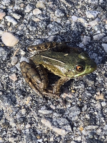
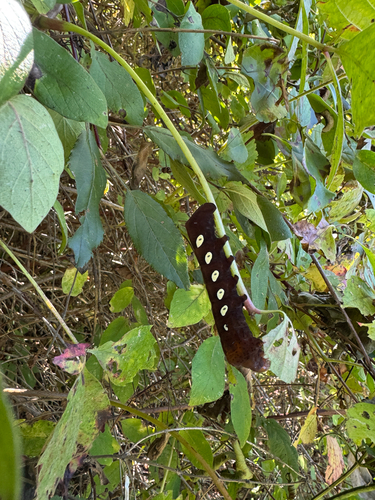
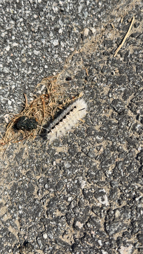

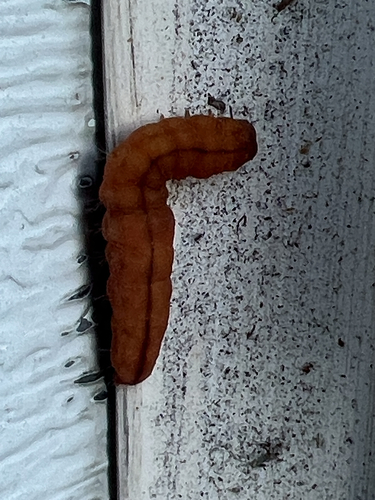
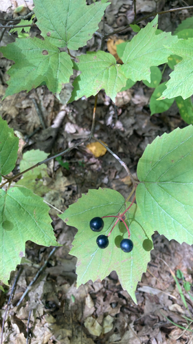
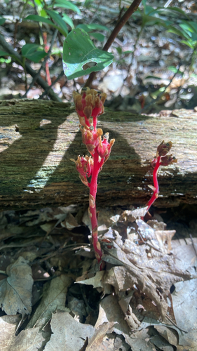
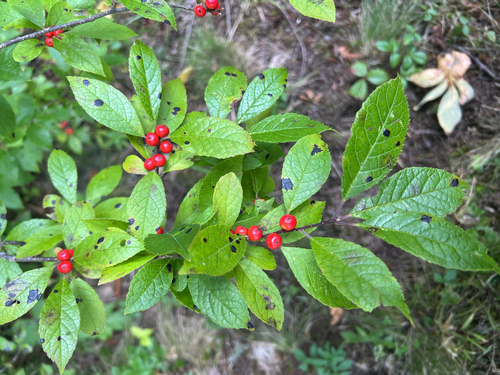
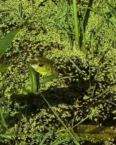
Research-grade observations from iNaturalist (within ~15 mi).
Nearest stream gauge
Events
Gallery
Sources
- • Wikipedia
- • NOAA National Weather Service
- • Wikidata
- • iNaturalist
- • Open-Elevation
- • Open-Meteo / sunrise-sunset.org
- • Wikipedia Pageviews API
- • Open Library