Browse / Cuba / Cuba / Ciego de Ávila
Ciego de Ávila
Cubacity

Ciego de Ávila
Total population
121,450
Founded
1840
Demographic figures from ONEI Cuba. Overview below cites Wikipedia and may reference a different year.
City facts
Facts from Wikidata (CC0).
Overview
Ciego de Ávila is a city in the central part of Cuba and the capital of Ciego de Ávila Province. The capital city has a population of about 156,322 and the province 430,507.
Read more on WikipediaHistory & geography
History
The city of Ciego de Ávila was founded by 1840, having at the time 263 inhabitants. In 1877, its municipal government was created and the city became independent of the city of Morón. Ciego de Ávila gained importance when the Spanish army built a fortified military line, known as Trocha de Júcaro a Morón, to impede the pass of insurrectionist forces to the western part of the island during the 1st War of Independence (1868–1878). This "trocha", which made this region famous, was thought to be strong enough to stop the Cuban forces, but was not able to stop the pass of General Máximo Gómez and several hundred men. Many of the old Spanish colonial buildings in Ciego de Ávila (such as the Teatro Principal) were commissioned under Angela Hernández, viuda de Jiménez, a rich socialite who battled to create a cultural mecca in her hometown.
Geography
Ciego de Ávila lies on the Carretera Central highway and on a major railroad. Its port, Júcaro, lies south-southwest on the coast of the Gulf of Ana Maria of the Caribbean Sea, in the adjacent municipality of Venezuela. The city is located about east of Havana and west of the city of Camagüey. It was part of the Camagüey Province until 1976, when Fidel Castro's government made Ciego de Ávila the capital of the newly created Ciego de Ávila Province. By 1945, the municipality was divided into the barrios of Angel Castillo, Ceballos, Guanales, Jagüeyal, Jicotea, José Miguel Gómez, Júcaro, La Ceiba, Majagua, Norte, San Nicolás and Sur. After the new political and administrative division of Cuba in 1976, it was divided into four municipalities (Majagua, Ciego de Ávila, Baragua, and Venezuela). Ciego de Ávila experiences a tropical savanna climate (Köppen Aw).
Excerpted from the corresponding Wikipedia article (CC BY-SA).
Geography
Coordinates & boundaries from the US Census TIGER/Line shapefiles.
Climate
Air quality
Walkability
Amenities nearby
Wildlife & biodiversity
Most-observed species
- Turkey VultureCathartes aura (Linnaeus, 1758) · Aves264
- Mourning DoveZenaida macroura (Linnaeus, 1758) · Aves229
- Cuban EmeraldRiccordia ricordii (Gervais, 1835) · Aves214
- American RedstartSetophaga ruticilla (Linnaeus, 1758) · Aves200
- Northern MockingbirdMimus polyglottos (Linnaeus, 1758) · Aves200
- Smooth-billed AniCrotophaga ani Linnaeus, 1758 · Aves196
- Northern ParulaSetophaga americana (Linnaeus, 1758) · Aves194
- Black-and-white WarblerMniotilta varia (Linnaeus, 1766) · Aves192
Citizen-science & research observations from the Global Biodiversity Information Facility (GBIF).
Earthquake history
Events from the USGS Earthquake Catalog (global) (FDSN Event Web Service).
Photos
Sights & places nearby
Notable people from here
Geography & sun
Elevation, sunrise/sunset and daylight from Open-Meteo. Solar climatology from NASA POWER.
Nearby airports
Public attention
Pageview totals from the Wikimedia Pageviews API.
Books about Ciego de Ávila
Search results from Open Library.
Recent natural events nearby
Ground air-quality sensors
Recently spotted species
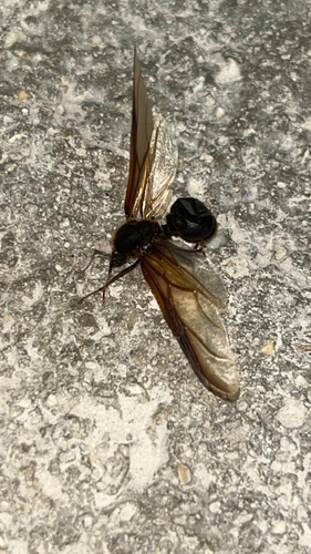
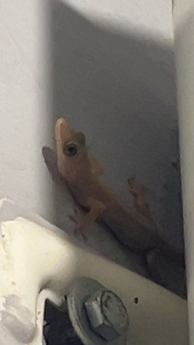
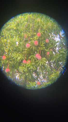
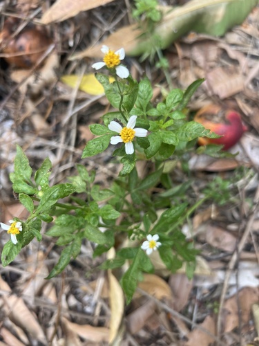
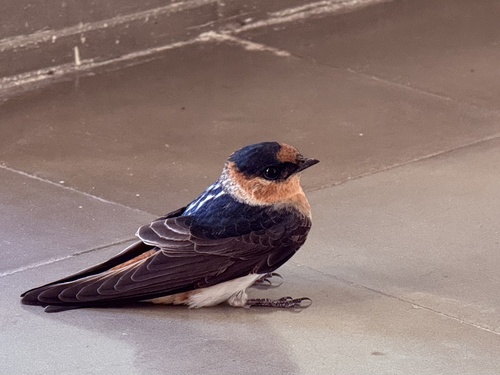
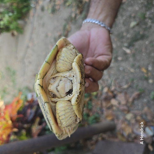
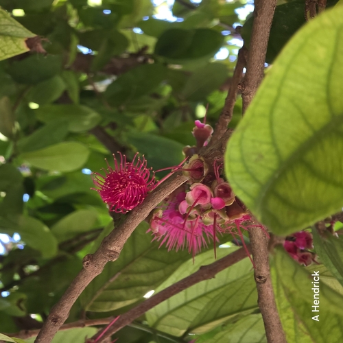
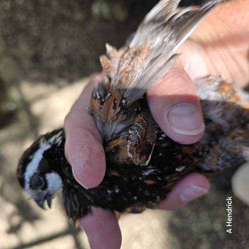
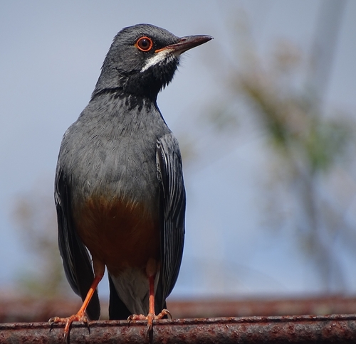
Research-grade observations from iNaturalist (within ~15 mi).
Events
Gallery
Geotagged photos within ~6 miles of Ciego de Ávila, from Wikimedia Commons contributors.


_(GGJ84)_2026-04-24_16H35M16S000.jpg)
_(GGJ84)_2026-04-24_16H35M19S000.jpg)


Photos via Wikimedia Commons — see each image page for license & attribution.
Sources
- • Wikipedia
- • Wikimedia Commons
- • Wikidata
- • USGS Earthquake Catalog (global feed)
- • GBIF (Global Biodiversity Information Facility)
- • iNaturalist
- • Open-Meteo / sunrise-sunset.org
- • Wikipedia Pageviews API
- • Open Library