Browse / Cuba / Cuba / La Caobita
La Caobita
Cubavillage
Air quality index
Demographic figures from ONEI Cuba. Overview below cites Wikipedia and may reference a different year.
City facts
Overview
La Caobita is a village in Cuba. No reliable population estimate is published for this entry in the open data we rely on. The settlement sits at 20.798°, -77.940°, a tropical location in the northern hemisphere. Its latitude implies a climate characterised by warm temperatures throughout the year with pronounced wet and dry seasons. Solar-resource estimates put the area at about 2,069 kWh/m² of solar irradiance per year with sunshine for roughly 81% of daylight hours. Read on for charts and tables covering demographics, climate, hazards, schools, wildlife and other open-data indicators for La Caobita.
Summary composed automatically from structured open data on this page. See our Terms for details.
History & geography
Geography
Coordinates & boundaries from the US Census TIGER/Line shapefiles.
Climate
Air quality
Current readings from Open-Meteo Air Quality API (Copernicus CAMS European reanalysis).
Walkability
Amenities nearby
Wildlife & biodiversity
Most-observed species
- Turkey VultureCathartes aura (Linnaeus, 1758) · Aves13
- Cattle EgretBubulcus ibis (Linnaeus, 1758) · Aves9
- Mourning DoveZenaida macroura (Linnaeus, 1758) · Aves9
- Little Blue HeronEgretta caerulea (Linnaeus, 1758) · Aves7
- Common YellowthroatGeothlypis trichas (Linnaeus, 1766) · Aves7
- American RedstartSetophaga ruticilla (Linnaeus, 1758) · Aves7
- Common Ground-DoveColumbina passerina (Linnaeus, 1758) · Aves7
- Smooth-billed AniCrotophaga ani Linnaeus, 1758 · Aves7
Citizen-science & research observations from the Global Biodiversity Information Facility (GBIF).
Earthquake history
Events from the USGS Earthquake Catalog (global) (FDSN Event Web Service).
Photos
Sights & places nearby
Notable people from here
Nearby places in Cuba
- Bazargan6858.8 mi away · pop. 9,000
- Tazeh Shahr6922.2 mi away · pop. 8,629
- Khamaneh6962 mi away · pop. 3,056
- Bonab-e-Jadid6964 mi away · pop. 4,430
- Kaleybar6993.4 mi away
- Tabriz6995.8 mi away · pop. 1,558,693
- Parsabad6995.9 mi away · pop. 81,782
- Shinabad7004.4 mi away
- Bostanabad7028.6 mi away · pop. 16,592
- Sarab7054.3 mi away · pop. 45,000
- Shahindezh7066.7 mi away · pop. 38,396
- Sareyn7067.9 mi away · pop. 5,459
Geography & sun
Elevation, sunrise/sunset and daylight from Open-Meteo. Solar climatology from NASA POWER.
Nearby airports
Public attention
Books about this place
Recent natural events nearby
Ground air-quality sensors
Recently spotted species
Research-grade observations from iNaturalist (within ~15 mi).
Events
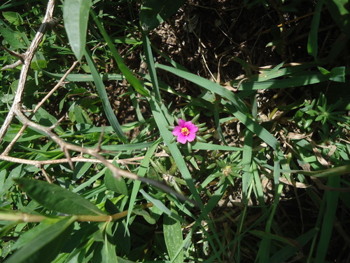
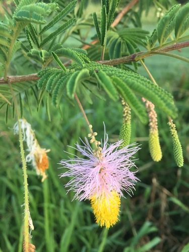
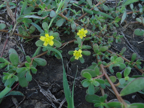
Gallery
Geotagged photos within ~6 miles of La Caobita, from Wikimedia Commons contributors.


Photos via Wikimedia Commons — see each image page for license & attribution.
Sources
- • Wikimedia Commons
- • Wikidata
- • Open-Meteo Air Quality (CAMS)
- • USGS Earthquake Catalog (global feed)
- • GBIF (Global Biodiversity Information Facility)
- • iNaturalist
- • Open-Elevation
- • Open-Meteo / sunrise-sunset.org