Paraná
Cubavillage
Demographic figures from ONEI Cuba. Overview below cites Wikipedia and may reference a different year.
City facts
Overview
Paraná is a village that lies in Cuba. Detailed population figures are not currently catalogued in the open data sources we track. Coordinates of 20.183°, -75.956° situate Paraná in the tropical zone of the northern hemisphere. Its latitude implies a climate characterised by warm temperatures throughout the year with pronounced wet and dry seasons. Continue scrolling for population, climate, environmental and points-of-interest data drawn from public sources.
Summary composed automatically from structured open data on this page. See our Terms for details.
History & geography
Geography
Coordinates & boundaries from the US Census TIGER/Line shapefiles.
Climate
Air quality
Walkability
Amenities nearby
Wildlife & biodiversity
Earthquake history
Photos
Sights & places nearby
Notable people from here
Nearby places in Cuba
- Bazargan6804.6 mi away · pop. 9,000
- Qaraziadin6852.5 mi away · pop. 23,763
- Tazeh Shahr6866.2 mi away · pop. 8,629
- Khamaneh6907 mi away · pop. 3,056
- Bonab-e-Jadid6909.7 mi away · pop. 4,430
- Shabestar6910.7 mi away · pop. 22,181
- Oshnaviyeh6929.4 mi away · pop. 32,723
- Kaleybar6941.1 mi away
- Tabriz6941.2 mi away · pop. 1,558,693
- Parsabad6945.8 mi away · pop. 81,782
- Shinabad6946.2 mi away
- Bostanabad6974.2 mi away · pop. 16,592
Geography & sun
Nearby airports
Public attention
Books about this place
Recent natural events nearby
Ground air-quality sensors
Recently spotted species
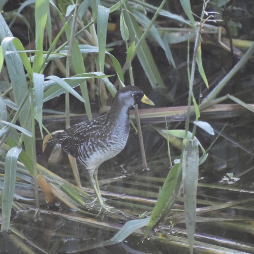
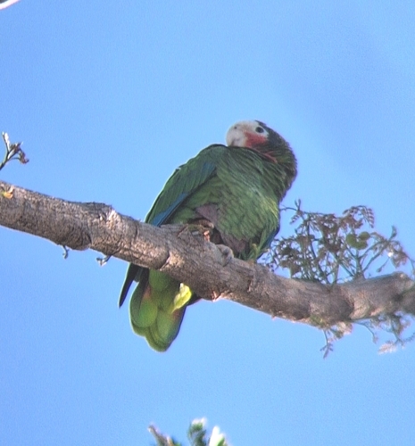
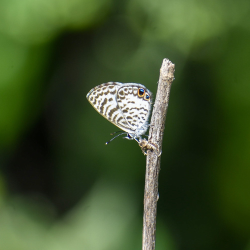
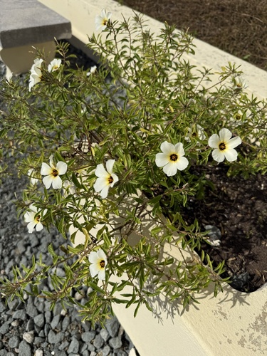
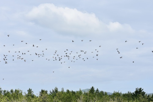
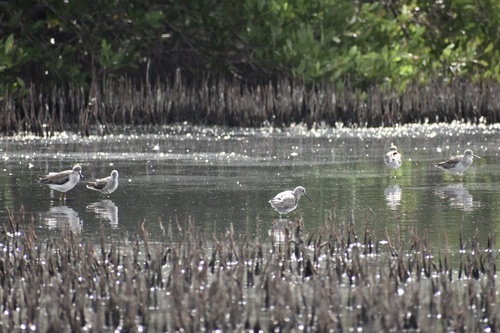
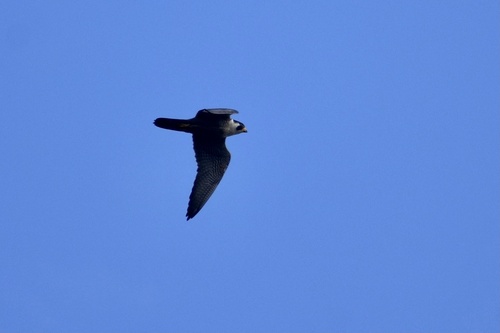
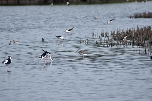
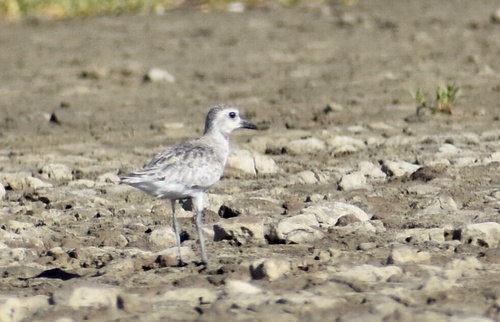
Research-grade observations from iNaturalist (within ~15 mi).
Events
Gallery
Geotagged photos within ~6 miles of Paraná, from Wikimedia Commons contributors.
.jpg)


Photos via Wikimedia Commons — see each image page for license & attribution.
Sources
- • Wikimedia Commons
- • iNaturalist